
GEOGRAPHY OF SOUTH ASIA
Presentation
•
Geography, Social Studies
•
9th Grade
•
Practice Problem
•
Medium

Glenn Macleay
Used 47+ times
FREE Resource
27 Slides • 19 Questions
1
GEOGRAPHY OF SOUTH ASIA
WHAT?: WE WILL DESCRIBE AND ANALYZE THE PHYSICAL GEOGRAPHY OF SOUTH ASIA?
HOW?: WE WILL COMPLETE THE QUIZZIZ.
WHY?: IT WILL HELP US TO UNDERSTAND THIS IMPORTANT REGION.

2
Open Ended
WHEN YOU THINK OF INDIA, WHAT DO YOU THINK OF? WHAT QUESTIONS DO YOU HAVE?
3

INDIA WAS FORMED WHEN PART OF THE AFRICAN PLATE SPLIT OFF AND COLLIDED WITH THE EURASIAN PLATE. THIS CONVERGENT BOUNDARY FORMS THE HIMALAYAN MOUNTAINS WHICH ARE THE LARGEST IN THE WORLD.
INDIA IS A SUBCONTINENT
4
Multiple Choice
WHY IS INDIA CALLED A SUBCONTINENT?
It is has no way to travel to the rest of Asia.
It was once its own separate land mass that has collided tectonically with Asia.
It is over the rest of Asia.
It is bigger than the rest of Asia.
5

.INDIA IS SEPARATED FROM THE REST OF ASIA BY THE HIMALAYAS, THE HINDU KUSH MOUNTAINS, THE THAR DESERT, AND THE RAINFOREST AND MOUNTAINS ON THE EAST SIDE OF THE SUBCONTINENT.
LANDFORMS
6

7
Multiple Select
Click on all the Mountain Ranges that are present in India. (MORE THAN ONE RIGHT ANSWER)
Ghats
Himalayas
Hindu Kush
Alps.
8

9
Multiple Select
Click on all the natural barriers that Separate South Asia from the rest of Asia.
BAY OF BENGAL
ARABIAN SEA
HIMALAYA MOUNTAINS
HINDU KUSH MOUNTAINS
10

11
Multiple Choice

What is the tallest mountain in India (NOT THE WORLD)?
K-2
Mt. Everest
Mt. Kanchenjunga
Mt. McKinley
12

ONLY A FEW PASSES EXIST THROUGH THE MOUNTAINS. ONLY ONE HAS WATER. THE KHYBER PASS.
THE HINDU KUSH MOUNTAINS ARE A BARRIER ON THE WEST OF INDIA
13
Multiple Choice

Why has the KHYBER PASS been important in South Asian History?
It has been the invasion route into and out of India.
Al Qaeda trapped US forces there.
The Aryans were driven out of India there.
14

THE WESTERN GHATS
THE EASTERN GHATS
THE DECCAN PLATEAU
THE DECCAN PLATEAU HAS AN ARID CLIMATE
BECAUSE......
MOUNTAINS AND PLATEAUS OF SOUTHERN INDIA
15
Multiple Choice

The Deccan Plateau.....
gets a lot of rain because it is in the rain shadow.
has a semi arid climate because it is in the rain shadow of the GHATS
has a tropical rain forest
only gets orographic precipitation
16

THREE GREAT RIVERS
GANGES
INDUS
BRAHMAPUTRA
GREAT SOILS
LARGE POPULATION
INDO-GANGETIC PLAIN
17
Multiple Select

Click on all the great rivers of the Gangetic Plain
Ganga (Ganges)
Brahmaputra
Indus
Nile
18

ALLUVIAL MEANS "FLOOD CAUSED". IN INDIA, WHEN SNOW ON THE HIMALAYAS MELT OR DURING THE MONSOON, RICH SOILS ARE DEPOSITED ALONG THE INDO GANGETIC PLAINS.
ALLUVIAL SOILS OF INDIA
19

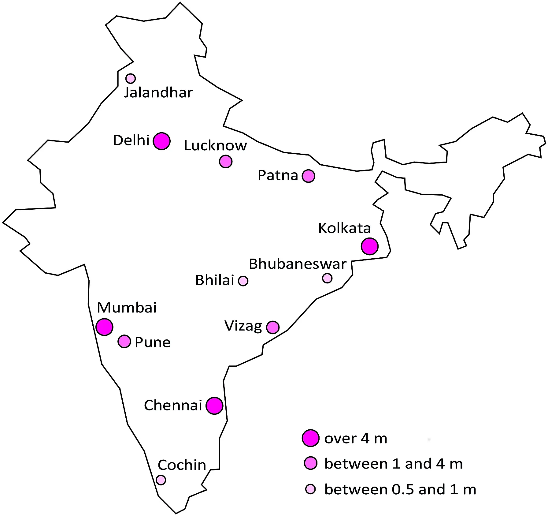
THEY LIVE WHERE THERE IS WATER OR RAIN. THEY LIVE ON THE COASTS AND ON THE INDO-GANGETIC PLAIN. THEY LIVE WHERE THERE IS FOOD.
WHERE DO MOST OF THE PEOPLE LIVE??
20
Multiple Select
What is unique about the Gangetic Plain?
It has alluvial soils that enable India to produce enough food to feed itself.
3/5s of South Asia's population lives there.
Many of the Big cities of South Asia are there
21

TROPICAL JUNGLE ISLAND
LARGE MOUNTAINS IN THE CENTER
PLAINS IN THE NORTH AND ALONG THE COASTS.
SRI LANKA- THE TEAR DROP OFF INDIA'S COAST
22
Multiple Select
Click on all the things that are true about SRI LANKA.
It is an Island off the Southeast coast of India.
It is part of India
It is an independent country
Much of Sri Lanka is composed of a Tropical Wet Climate.
23

24

THE MALDIVES ARE .....
1. AN ARCHIPELAGO OR GROUP OF ISLANDS.
2. MADE UP OF ATOLLS WHICH ARE CORAL ISLANDS WITH A CIRCULAR LAGOON AROUND A SUBMERGED VOLCANO.
3. 1200 ISLANDS WITH ONLY 200 INHABITED.
THE MALDIVES
25
Multiple Select
Click on all the answers that apply to the MALDIVES ISLANDS.
The Maldives have about 1200 islands.
All of the islands have people living on them.
The Maldives are atolls
26

WATER- MOST IMPORTANT RESOURCE. FOOD, SANITATION, INDUSTRY.
SOILS- GREAT FOOD.
ENERGY POOR- NO OIL. MUST USE COAL AND HYDROELECTRICITY
GREAT FISHING
NATURAL RESOURCES
27
Multiple Select
CLICK on all the answers that are true.
India and Pakistan have limited oil resources
India and Pakistan must use Hydroelectric power.
India and Pakistan do not have rivers to use for power.
India and Pakistan do not use coal.
28

HIGH DEMAND FOR WOOD.
INDIAN RAINFORESTS PRODUCE TEAKWOOD, BAMBOO, SANDALWOOD, PINE, FIR AND SOFTWOODS.
3. DEFORESTATION IS A MAJOR PROBLEM
SOUTH ASIA'S FORESTS
29

30
Multiple Choice
Why are the forests of South Asia disappearing?
Global warming has caused them to be cut down.
South Asia has a large population which needs the resources the forests provide.
India is not aware of its' deforestation problem.
31

32

33
Multiple Choice
What part of South Asia has the coldest climate?
Southwest
Southeast
Central
Highland regions
34

35
Multiple Choice
Which part of South Asia gets the most rain?
The Deccan Plateau
Bangladesh
The Thar Desert
The Gangetic Plain
36

37

38

39
Multiple Select
CLICK ON ALL THE ANSWERS THAT ARE TRUE ABOUT THE GANGES.
The Ganges has few people living near it.
The Ganges provides water and alluvial soils to the people near it.
The Ganges is a religious site in India.
It is the longest river in India.
40

41
Open Ended
How does the HINDU religion cause Human and Environment interaction along the Ganges River? (Three sentences)
42

43
Multiple Choice
What natural hazard causes storm surges in Bangladesh?
Earthquakes
Erosion
Cyclones
Volcanoes
44

45

46
Open Ended
Using the FIVE THEMES of GEOGRAPHY, write on the positive and negative aspects of India's physical geography. (Five Sentences)
M.R. H.E.L.P.
MOVEMENT
REGION
HUMAN ENVIRONMENT INTERACTION
LOCATION
PLACE
GEOGRAPHY OF SOUTH ASIA
WHAT?: WE WILL DESCRIBE AND ANALYZE THE PHYSICAL GEOGRAPHY OF SOUTH ASIA?
HOW?: WE WILL COMPLETE THE QUIZZIZ.
WHY?: IT WILL HELP US TO UNDERSTAND THIS IMPORTANT REGION.
Show answer
Auto Play
Slide 1 / 46
SLIDE
Similar Resources on Wayground

42 questions
Intro to Russia and it's Physical Geography
Presentation
•
9th Grade
41 questions
Physical Features of Europe
Presentation
•
9th Grade
42 questions
History of South America
Presentation
•
9th Grade
42 questions
Kahulugan ng Ekonomiks
Presentation
•
9th Grade
41 questions
Problem- Solving
Presentation
•
KG
38 questions
The Holocaust - Writing open ended questions
Presentation
•
9th Grade
41 questions
money and credit
Presentation
•
9th Grade
43 questions
South America
Presentation
•
9th Grade
Popular Resources on Wayground
11 questions
Hallway & Bathroom Expectations
Quiz
•
6th - 8th Grade
10 questions
HCS SCI 03 Summer School Assessment 2
Quiz
•
3rd Grade
11 questions
Home Scope
Quiz
•
7th - 8th Grade
12 questions
2026 TAP Technology in the Classroom
Presentation
•
Professional Development
15 questions
HCS SCI 05 Summer School Assessment 2 Review
Quiz
•
5th Grade
15 questions
HCS SCI 04 Summer School Review 2
Quiz
•
4th Grade
59 questions
Geometry Unit 3 Review
Quiz
•
9th - 12th Grade
14 questions
FAST ELA READING SMAPLE TEST MATERIALS
Passage
•
3rd Grade