Slow and Rapid Changes
Authored by Map Munoz
Science
5th Grade
NGSS covered
Used 431+ times

AI Actions
Add similar questions
Adjust reading levels
Convert to real-world scenario
Translate activity
More...
Content View
Student View
20 questions
Show all answers
1.
MULTIPLE CHOICE QUESTION
5 mins • 1 pt

The Rio Grande Valley is located at the southern tip of Texas at the end of a long river known as the Rio Grande. How did the delta at the end of the Rio Grande form? (5.7B)
Sand and mud from the Gulf of Mexico were washed ashore by tsunamis.
The river cut through the solid bedrock of the valley.
The river deposited large amounts of sediment from land erosion.
Hurricanes pushed soil and debris from the Gulf of Mexico onto the land.
Tags
NGSS.MS-ESS2-2
2.
MULTIPLE CHOICE QUESTION
5 mins • 1 pt

The photograph shows a canyon in northern Arizona. Which of these describes how this canyon was most likely formed? (5.7B)
Floods eroded the sandstone away from the canyon walls.
Glaciers eroded the canyon rock as they melted and moved.
Ice wedged into cracks in the rock and weathered the canyon walls.
Wind blew large rocks that smashed against the canyon walls.
Tags
NGSS.MS-ESS2-2
3.
MULTIPLE CHOICE QUESTION
5 mins • 1 pt

A wide U-shaped valley is shown in the photograph. This valley was most likely formed by-- (5.7B)
flash flooding
a glacier
a hurricane
melting snow
Tags
NGSS.MS-ESS2-2
4.
MULTIPLE CHOICE QUESTION
5 mins • 1 pt
The Grand Canyon is more than 400 km long and in some places almost 2 km deep. Which model best represents the main process that formed the Grand Canyon? (5.7B)
Tags
NGSS.MS-ESS2-2
5.
MULTIPLE CHOICE QUESTION
5 mins • 1 pt

A scientist was studying a type of event that occurred on Earth in various places within a 30-day period. The circles indicate where the events happened. The events being studied involved rapid changes to Earth's surface at the locations shown on the map. What type of event do the circles on the map most likely represent? (3.7B)
Landslides, because they are all located along ocean coastlines
Volcanoes, because they occur only near the equator
Earthquakes, because they occur on land and on the ocean floor
Floods, because heavy rains can make riverbeds deeper and create deltas
Tags
NGSS.MS-ESS2-2
6.
MULTIPLE CHOICE QUESTION
30 sec • 1 pt

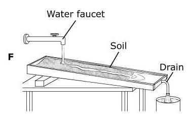
When earth materials have been eroded and are put (dropped) into a new location is called.
Tags
NGSS.MS-ESS2-2
7.
MULTIPLE CHOICE QUESTION
30 sec • 1 pt

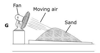
The breaking down of rock materials on the surface of the earth is called?
Tags
NGSS.MS-ESS2-2


Access all questions and much more by creating a free account
Create resources
Host any resource
Get auto-graded reports
Continue with Google

Continue with Email
Continue with Microsoft
or continue with

%20(1).png)
Apple
Others
Already have an account?
