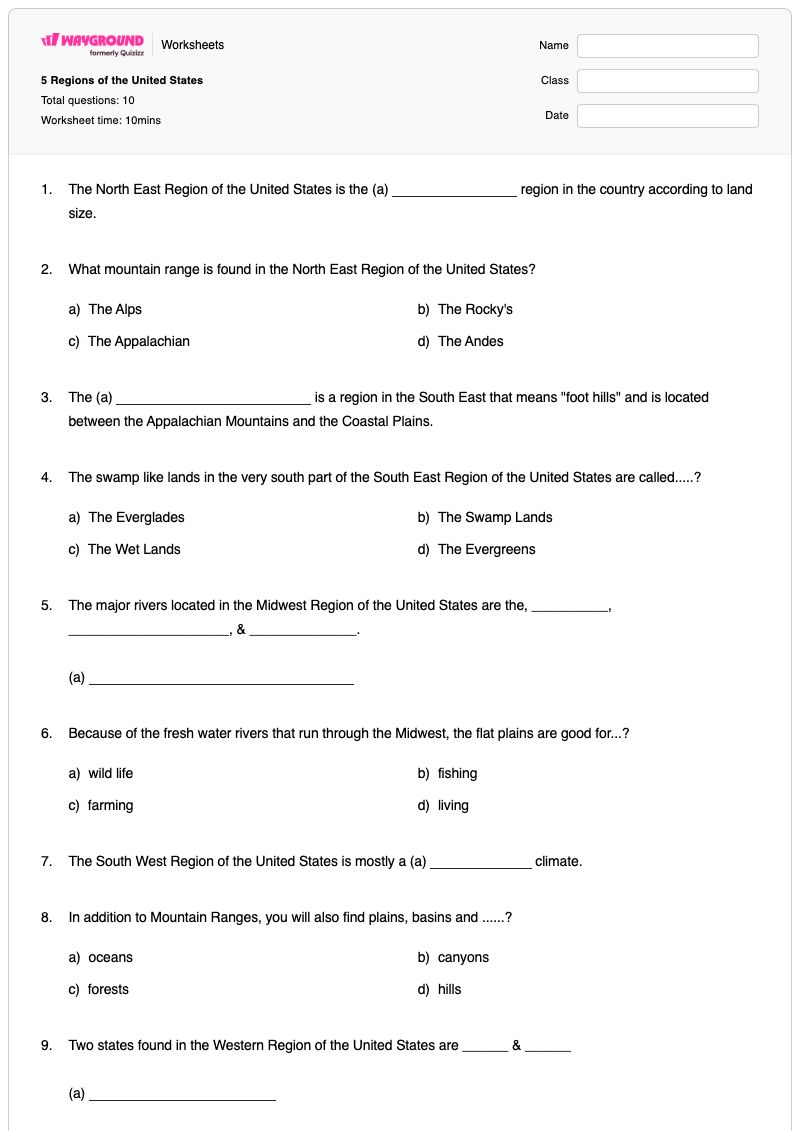
This Grade 4 geography worksheet helps students identify physical features, climate patterns, and states associated with the five regions of the United States. Students work with five fill-in-the-blank items, four multiple-choice questions, and one open-ended response covering the Northeast, Southeast, Midwest, Southwest, and Western regions.
The questions ask students to recall the Northeast’s relative land size and Appalachian Mountains, the Southeast’s Piedmont Region and Everglades, the Midwest’s major rivers and farming connections, the Southwest’s desert climate and canyons, and Western-region states and climate variation. The final response requires students to name three climates and describe where they occur in the West, reinforcing geographic reasoning beyond simple recall. This free printable worksheet is designed for Grade 4 geography instruction, review, or assessment and includes a complete answer key.
Worksheet settings
Font size
S
M
L
XL
Worksheets
5 Regions of the United States
Total questions: 10
Name
Class
Date
1.
The North East Region of the United States is the (a) region in the country according to land size.
2.
What mountain range is found in the North East Region of the United States?
a)
The Alps
b)
The Rocky's
c)
The Appalachian
d)
The Andes
3.
The (a) is a region in the South East that means "foot hills" and is located between the Appalachian Mountains and the Coastal Plains.
4.
The swamp like lands in the very south part of the South East Region of the United States are called.....?
a)
The Everglades
b)
The Swamp Lands
c)
The Wet Lands
d)
The Evergreens
5.
The major rivers located in the Midwest Region of the United States are the, __________, _____________________, & ______________.
(a)
6.
Because of the fresh water rivers that run through the Midwest, the flat plains are good for...?
a)
wild life
b)
fishing
c)
farming
d)
living
7.
The South West Region of the United States is mostly a (a) climate.
8.
In addition to Mountain Ranges, you will also find plains, basins and ......?
a)
oceans
b)
canyons
c)
forests
d)
hills
9.
Two states found in the Western Region of the United States are ______ & ______
(a)
10.
The Western Region of the United States has a large range of climate types. Name three different kinds of climates you might find in the western part of the United States that we've talked about this week and where in the region you would experience it.
4 lines
Answer Key
5 Regions of the United States
Total questions: 10
1.
Smallest
2.
c)
The Appalachian
3.
Piedmont Region
4.
a)
The Everglades
5.
Ohio, Upper Mississippi, Missouri Rivers
6.
c)
farming
7.
desert
8.
b)
canyons
9.
Alaska, Hawaii
10.
n/a
140 %
Browse by subjects
Browse by grades
Browse by format
FAQs
What does the 5 Regions of the United States worksheet cover?
This Grade 4 geography worksheet builds students’ knowledge of the Northeast, Southeast, Midwest, Southwest, and Western regions through five fill-in-the-blank items, four multiple-choice questions, and one open-ended response. Students identify regional features such as the Appalachian Mountains, Piedmont Region, Everglades, major Midwest rivers, desert climate, canyons, Alaska, and Hawaii, then connect three Western climates to locations in the region.
How can I use this worksheet to teach the five regions of the United States?
Introduce the worksheet with a labeled U.S. regions map and have students locate each region before completing the recall questions. Pause after the Midwest items to discuss how rivers and flat plains support farming, and use the final Western-region prompt to have students explain how climate varies by location rather than simply naming terms.
What mistakes should I watch for when students complete this U.S. regions worksheet?
Watch for students confusing the Appalachian Mountains with other mountain ranges, or substituting a general term for the Southeast’s specific Piedmont Region and Everglades. In the Midwest fill-in-the-blank item, students may omit one of the three expected rivers—Ohio, Upper Mississippi, or Missouri—and in the final response they may name three climates without explaining where each occurs in the Western Region.
How do I assign and grade this 5 Regions of the United States worksheet?
Wayground provides this worksheet as a printable PDF and as a digital quiz, and it includes a complete answer key for checking the five fill-in-the-blank, four multiple-choice, and open-ended responses. For printable submissions, teachers can scan student work with the Wayground for Teachers app to support grading and review.
How can I differentiate this five-regions worksheet for my students?
Use the worksheet’s Advanced Settings to adjust font spacing and font size so the regional terms, fill-in-the-blank prompts, and open-ended climate response are easier to read. You can also enable a dyslexia-friendly font or translate the worksheet into another language when that better supports access to the geography content.
Where can I find more worksheets like this on Wayground?
Wayground offers a broad collection of free printable worksheets and practice problems across subjects, with downloadable PDFs and answer keys to help students build essential skills and concepts. Browse more resources at https://wayground.com/en-us/worksheets.

 Worksheets