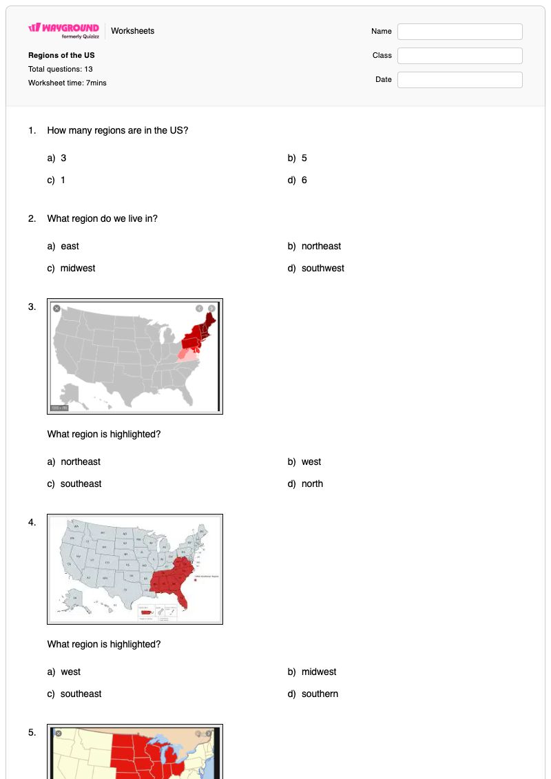
Regions of the US is a free printable Grade 5 social studies worksheet with an answer key. It uses 13 multiple-choice questions to help students identify the five regions of the United States, recognize regions highlighted or outlined on maps, and connect geographic features to specific regions. Students also review the Appalachian Mountains, the compass rose as a map-direction tool, cotton as a major Southeast industry, the number of U.S. states, the Great Lakes, the Mississippi River, and the Atlantic and Pacific Oceans.
This worksheet supports students in applying regional geography knowledge to map-based questions rather than only recalling region names. It is suitable for classroom practice, independent review, homework, or a quick check of Grade 5 understanding. The consistent multiple-choice format makes it easy for students to demonstrate knowledge and for teachers to identify whether errors relate to map interpretation, geographic facts, or key U.S. regions and features.
Worksheet settings
Font size
S
M
L
XL
Worksheets
Regions of the US
Total questions: 13
Name
Class
Date
1.
How many regions are in the US?
a)
3
b)
5
c)
1
d)
6
2.
What region do we live in?
a)
east
b)
northeast
c)
midwest
d)
southwest
3.
What region is highlighted?
a)
northeast
b)
west
c)
southeast
d)
north
4.
What region is highlighted?
a)
west
b)
midwest
c)
southeast
d)
southern
5.
What region is highlighted?
a)
midwest
b)
west
c)
north
d)
eastnorth
6.
What region is being outlined on the map?
a)
west
b)
southwest
c)
east
d)
northeast
7.
Which two regions do the Appalachian Mountains go through?
a)
east and west
b)
west and southwest
c)
just midwest
d)
northeast and southeast
8.
What tool do we use on a map to tell our directions?
a)
legend
b)
scale
c)
compass rose
d)
title
9.
What is a major industry in the southeast region?
a)
cotton
b)
beef
c)
wheat
d)
apple
10.
How many states are in the United States?
a)
55
b)
49
c)
50
d)
51
11.
How many great lakes are there?
a)
3
b)
9
c)
2
d)
5
12.
What river starts in Minnesota and end in the Gulf of Mexico?
a)
Colorado River
b)
Missouri River
c)
Mississippi River
d)
New York River
13.
What is the names of the two oceans that have coasts along the US?
a)
Atlantic and Pacific
b)
Gulf of Mexico and Mississippi
c)
Atlantic and Indian
d)
Artic and Pacific
Answer Key
Regions of the US
Total questions: 13
1.
b)
5
2.
d)
southwest
3.
a)
northeast
4.
c)
southeast
5.
a)
midwest
6.
b)
southwest
7.
d)
northeast and southeast
8.
c)
compass rose
9.
a)
cotton
10.
c)
50
11.
d)
5
12.
c)
Mississippi River
13.
a)
Atlantic and Pacific
140 %
Browse by subjects
Browse by grades
Browse by format
FAQs
What does the Regions of the US worksheet cover?
This Grade 5 social studies worksheet covers the five regions of the United States through 13 multiple-choice questions. Students identify regions shown on maps, use the compass rose to interpret direction, and connect regional geography to facts about the Appalachian Mountains, Southeast industry, the Great Lakes, the Mississippi River, and surrounding oceans.
How can I use this worksheet to teach U.S. regions?
Introduce the five U.S. regions with a labeled map, then have students explain how a highlighted or outlined area matches a region name before completing the multiple-choice items. Use the questions about the Appalachian Mountains, compass rose, Great Lakes, Mississippi River, and oceans to extend map identification into discussion of physical geography and regional connections.
What mistakes should I watch for when students complete this U.S. regions worksheet?
Watch for students choosing a region from a familiar-sounding direction instead of reading the highlighted or outlined map area carefully. Students may also confuse the compass rose with a map legend or scale, misidentify which regions the Appalachian Mountains cross, or select incorrect facts about the Southeast, Great Lakes, Mississippi River, or U.S. coastal oceans.
How do I assign and grade the Regions of the US worksheet?
The worksheet is available as a printable PDF and as a digital quiz on Wayground, and it includes a complete answer key for all 13 multiple-choice questions. For printable submissions, you can scan student work with the Wayground for Teachers app to help grade responses efficiently.
How can I differentiate this U.S. regions worksheet for my students?
Use the worksheet’s Advanced Settings to adjust font spacing or choose a larger font size so the 13 multiple-choice questions and map-based prompts are easier to read. You can also enable a dyslexia-friendly font or translate the worksheet into another language while students work with the U.S. region and geography questions.
Where can I find more worksheets like this on Wayground?
Wayground offers a comprehensive collection of free printable worksheets and practice problems across subjects, with downloadable PDFs and answer keys to support essential skills and concepts. Browse more resources at https://wayground.com/en-us/worksheets.

 Worksheets


