

Wayground
Physical/Political/Thematic Map Practice - Printable Social Studies Worksheets grade 6 - Wayground

Physical/Political/Thematic Map Practice

1 questions

6th - 6th Grade

Social Studies

Physical/Political/Thematic Map Practice is a Grade 6 Social Studies worksheet that helps students distinguish among political, physical, and thematic maps. Students read a short explanatory passage, answer four multiple-choice questions, and complete one open-ended question. The items ask them to identify political maps by their boundaries and cities, recognize physical maps as tools for studying natural features, and identify thematic maps by the specific topics they display, including population density, climate, and fossil fuels. This free printable worksheet with an answer key gives teachers a focused way to check whether students can match a map type to its purpose. The open-ended item extends that understanding by asking students to select the map type that would help locate employment opportunities related to oil drilling, requiring them to apply the idea of a fossil-fuel-themed map to a practical situation. Use it for Grade 6 instruction, independent practice, or a quick assessment of map classification skills.

Worksheet settings

Font size

S
M
L
XL
Worksheets

Physical/Political/Thematic Map Practice

Total questions: 1

Name
Class
Date
1-5.

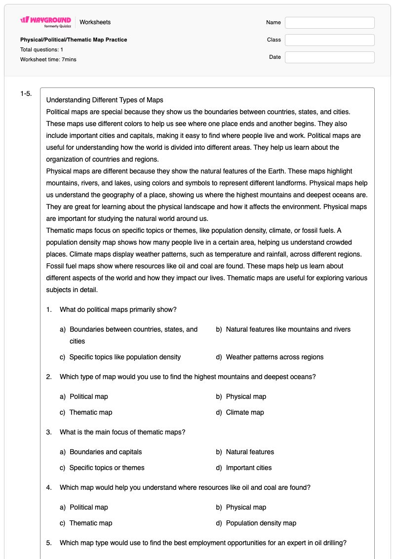
Understanding Different Types of Maps

Political maps are special because they show us the boundaries between countries, states, and cities. These maps use different colors to help us see where one place ends and another begins. They also include important cities and capitals, making it easy to find where people live and work. Political maps are useful for understanding how the world is divided into different areas. They help us learn about the organization of countries and regions.

Physical maps are different because they show the natural features of the Earth. These maps highlight mountains, rivers, and lakes, using colors and symbols to represent different landforms. Physical maps help us understand the geography of a place, showing us where the highest mountains and deepest oceans are. They are great for learning about the physical landscape and how it affects the environment. Physical maps are important for studying the natural world around us.

Thematic maps focus on specific topics or themes, like population density, climate, or fossil fuels. A population density map shows how many people live in a certain area, helping us understand crowded places. Climate maps display weather patterns, such as temperature and rainfall, across different regions. Fossil fuel maps show where resources like oil and coal are found. These maps help us learn about different aspects of the world and how they impact our lives. Thematic maps are useful for exploring various subjects in detail.

1.

What do political maps primarily show?

a)

Boundaries between countries, states, and cities

b)

Natural features like mountains and rivers

c)

Specific topics like population density

d)

Weather patterns across regions

2.

Which type of map would you use to find the highest mountains and deepest oceans?

a)

Political map

b)

Physical map

c)

Thematic map

d)

Climate map

3.

What is the main focus of thematic maps?

a)

Boundaries and capitals

b)

Natural features

c)

Specific topics or themes

d)

Important cities

4.

Which map would help you understand where resources like oil and coal are found?

a)

Political map

b)

Physical map

c)

Thematic map

d)

Population density map

5.

Which map type would use to find the best employment opportunities for an expert in oil drilling?

4 lines
Answer Key

Physical/Political/Thematic Map Practice

Total questions: 1

1-5.
1.
a)

Boundaries between countries, states, and cities

2.
b)

Physical map

3.
c)

Specific topics or themes

4.
c)

Thematic map

5.
n/a

FAQs

What does the Physical/Political/Thematic Map Practice worksheet cover?

This Grade 6 Social Studies worksheet teaches students to identify political, physical, and thematic maps by what they show and why they are used. A comprehension passage, four multiple-choice questions, and an open-ended application question ask students to connect political maps with boundaries, physical maps with natural features, and thematic maps with topics such as population density, climate, and fossil fuels.

How can I use this worksheet to teach the differences among political, physical, and thematic maps?

Begin by having students read the passage and create a three-column chart labeled political, physical, and thematic maps. As they complete the multiple-choice items, ask them to explain which clue led to each choice—for example, boundaries and cities, mountains and oceans, or a focused topic such as oil and coal. Finish with the open-ended oil-drilling scenario so students apply the classification rather than only recall definitions.

What mistakes should I watch for when students complete this map types worksheet?

Students may confuse physical maps with thematic maps because both can use colors and symbols, so check whether they identify natural features or a specific topic as the map’s focus. They may also select a political map whenever a question mentions a place, overlooking that political maps specifically show boundaries and cities. In the final open-ended item, look for students to connect oil-drilling opportunities with a thematic map showing fossil-fuel resources.

How do I assign and grade this map types worksheet?

You can assign Physical/Political/Thematic Map Practice as a printable PDF or as a digital quiz on Wayground. It includes a complete answer key for the four multiple-choice items and the open-ended response, and printable submissions can be graded by scanning student work with the Wayground for Teachers app. The printable format also gives schools an option for reducing screen time.

How can I differentiate this worksheet for my students?

Use the worksheet’s Advanced Settings to adjust font spacing or choose a larger font size for the passage, multiple-choice choices, and open-ended response area. You can also enable a dyslexia-friendly font or translate the worksheet into another language when that supports access to the map-classification task.

Where can I find more worksheets like this on Wayground?

Wayground offers a comprehensive collection of free printable worksheets and practice problems across all subjects, with downloadable PDFs and answer keys to help students master essential skills and concepts. Browse more resources at https://wayground.com/en-us/worksheets.