


Wayground
Review - Maps, Longitude, and Latitude - Printable Social studies Worksheets 6th Grade - Wayground

Review - Maps, Longitude, and Latitude

Daniel Wheeler

Created by Daniel Wheeler

21 questions

6th Grade

Social studies

Updated Sep 2026

This free printable worksheet is designed for Grade 6 social studies students reviewing maps, longitude, and latitude. It includes 21 multiple-choice questions that ask students to identify and locate the Prime Meridian, Equator, Tropic of Cancer, Tropic of Capricorn, Arctic Circle, Antarctic Circle, and North and South Poles, as well as determine hemispheres from map or continent references. Students also distinguish latitude lines from longitude lines and connect the terms parallels and meridians to their meanings. The questions reinforce how major geographic lines divide Earth into Northern, Southern, Eastern, and Western Hemispheres, making the worksheet useful for review or test preparation. It is available as a free printable worksheet with a complete answer key for efficient checking.

Worksheet settings

Font size

S
M
L
XL
WaygroundWorksheets

Review - Maps, Longitude, and Latitude

Total questions: 21

Name
Class
Date
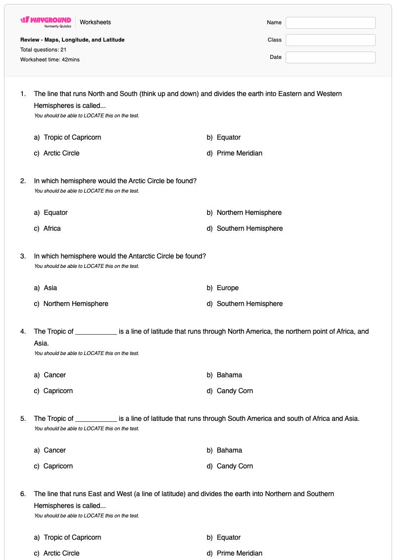
1.

The line that runs North and South (think up and down) and divides the earth into Eastern and Western Hemispheres is called...

You should be able to LOCATE this on the test.

a)

Tropic of Capricorn

b)

Equator

c)

Arctic Circle

d)

Prime Meridian

2.

In which hemisphere would the Arctic Circle be found?

You should be able to LOCATE this on the test.

a)

Equator

b)

Northern Hemisphere

c)

Africa

d)

Southern Hemisphere

3.

In which hemisphere would the Antarctic Circle be found?

You should be able to LOCATE this on the test.

a)

Asia

b)

Europe

c)

Northern Hemisphere

d)

Southern Hemisphere

4.

The Tropic of ___________ is a line of latitude that runs through North America, the northern point of Africa, and Asia.

You should be able to LOCATE this on the test.

a)

Cancer

b)

Bahama

c)

Capricorn

d)

Candy Corn

5.

The Tropic of ___________ is a line of latitude that runs through South America and south of Africa and Asia.

You should be able to LOCATE this on the test.

a)

Cancer

b)

Bahama

c)

Capricorn

d)

Candy Corn

6.

The line that runs East and West (a line of latitude) and divides the earth into Northern and Southern Hemispheres is called...

You should be able to LOCATE this on the test.

a)

Tropic of Capricorn

b)

Equator

c)

Arctic Circle

d)

Prime Meridian

7.

The _______ Pole is the southern most point on a globe.

For the test, you should be able to LOCATE this.

a)

North

b)

South

c)

West

d)

East

8.

The _______ Pole is the northern most point on a globe.

For the test, you should be able to LOCATE this.

a)

North

b)

South

c)

West

d)

East

9.

North and South America are both in the ________ Hemisphere.

For the test, you should be able to identify the hemisphere based on the continents shown.

a)

Northern

b)

Southern

c)

Eastern

d)

Western

10.

Asia is in the ________ Hemisphere.

For the test, you should be able to identify the hemisphere based on the continents shown.

a)

Northern

b)

Southern

c)

Eastern

d)

Western

11.

The ________ Hemisphere is all of the area south of the equator.

For the test, you should be able to identify the hemisphere when shown a map.

a)

Northern

b)

Southern

c)

Eastern

d)

Western

12.

The ________ Hemisphere is all of the area north of the equator.

For the test, you should be able to identify the hemisphere when shown a map.

a)

Northern

b)

Southern

c)

Eastern

d)

Western

13.

Meridians are another name for ...

a)

Latitude Line

b)

Perpendicular Lines

c)

Hemispheres

d)

Longitude Lines

14.

Parallels are another name for ...

a)

Latitude Lines

b)

Perpendicular Lines

c)

Hemispheres

d)

Longitude Lines

15.

The Prime Meridian divides the world into...

a)

North and East

b)

East and West

c)

North and South

d)

West and South

16.

The lines that "run" East to West are called..

a)

Imaginary

b)

Equators

c)

Longitude

d)

Latitude

17.

What is the area called between the Tropic of Capricorn and the Tropic of Cancer?

a)

The Meridians

b)

The Danger Zone

c)

The Tropics

d)

The Bermuda Triangle

18.

The line of latitude in the Southern Hemisphere where the sun can be DIRECTLY overhead is called the..

a)

The South Pole

b)

The Equator

c)

The Tropic of Cancer

d)

Tropic of Capricorn

19.

The line of latitude in the Northern Hemisphere where the sun can be DIRECTLY overhead is called the..

a)

The South Pole

b)

The Equator

c)

The Tropic of Cancer

d)

Tropic of Capricorn

20.

The Equator divides the world into...

a)

North and East

b)

East and West

c)

North and South

d)

West and South

21.

Lines that "run" North and South are called...

a)

Longitude

b)

Equator

c)

Meridian Thingy

d)

Latitude

WaygroundAnswer Key

Review - Maps, Longitude, and Latitude

Total questions: 21

1.
d)

Prime Meridian

2.
b)

Northern Hemisphere

3.
d)

Southern Hemisphere

4.
a)

Cancer

5.
c)

Capricorn

6.
b)

Equator

7.
b)

South

8.
a)

North

9.
d)

Western

10.
c)

Eastern

11.
b)

Southern

12.
a)

Northern

13.
d)

Longitude Lines

14.
a)

Latitude Lines

15.
b)

East and West

16.
d)

Latitude

17.
c)

The Tropics

18.
d)

Tropic of Capricorn

19.
c)

The Tropic of Cancer

20.
c)

North and South

21.
a)

Longitude

FAQs

What does this maps, longitude, and latitude worksheet cover?

This Grade 6 social studies worksheet uses 21 multiple-choice questions to review the locations and meanings of major geographic lines, including the Equator, Prime Meridian, Tropics, and Arctic and Antarctic Circles. Students also identify the North and South Poles, determine hemispheres from continents or maps, and distinguish latitude lines and parallels from longitude lines and meridians.

How can I use this worksheet to teach latitude, longitude, and hemispheres?

Begin with a globe or world map and have students trace the Equator and Prime Meridian, describing which hemispheres each line creates. Then introduce the Tropics, polar circles, and poles before assigning the multiple-choice questions as guided practice; ask students to explain why a selected line or continent belongs to a particular hemisphere.

What mistakes should I watch for when students complete this worksheet?

Students may confuse the Equator, which divides the Northern and Southern Hemispheres, with the Prime Meridian, which divides the Eastern and Western Hemispheres. Watch also for reversals between latitude and longitude, parallels and meridians, and the Tropic of Cancer and Tropic of Capricorn; continent-based questions may reveal confusion between Eastern/Western and Northern/Southern Hemispheres.

How do I assign and grade this maps, longitude, and latitude worksheet?

Wayground provides this worksheet as both a printable PDF and a digital quiz, with a complete answer key for all 21 multiple-choice questions. You can assign the digital quiz through Wayground for grading, or grade printable submissions by scanning student work with the Wayground for Teachers app.

How can I differentiate this worksheet for my students?

In the worksheet’s Advanced Settings, adjust font spacing and font size to make the geographic vocabulary and multiple-choice options easier to read. You can also apply a dyslexia-friendly font or translate the worksheet into another language while keeping the latitude, longitude, line, pole, and hemisphere questions intact.

Where can I find more worksheets like this on Wayground?

Wayground offers a comprehensive collection of free printable worksheets and practice problems across all subjects, with downloadable PDFs and answer keys to support mastery of essential skills and concepts. Browse more resources at https://wayground.com/en-us/worksheets.