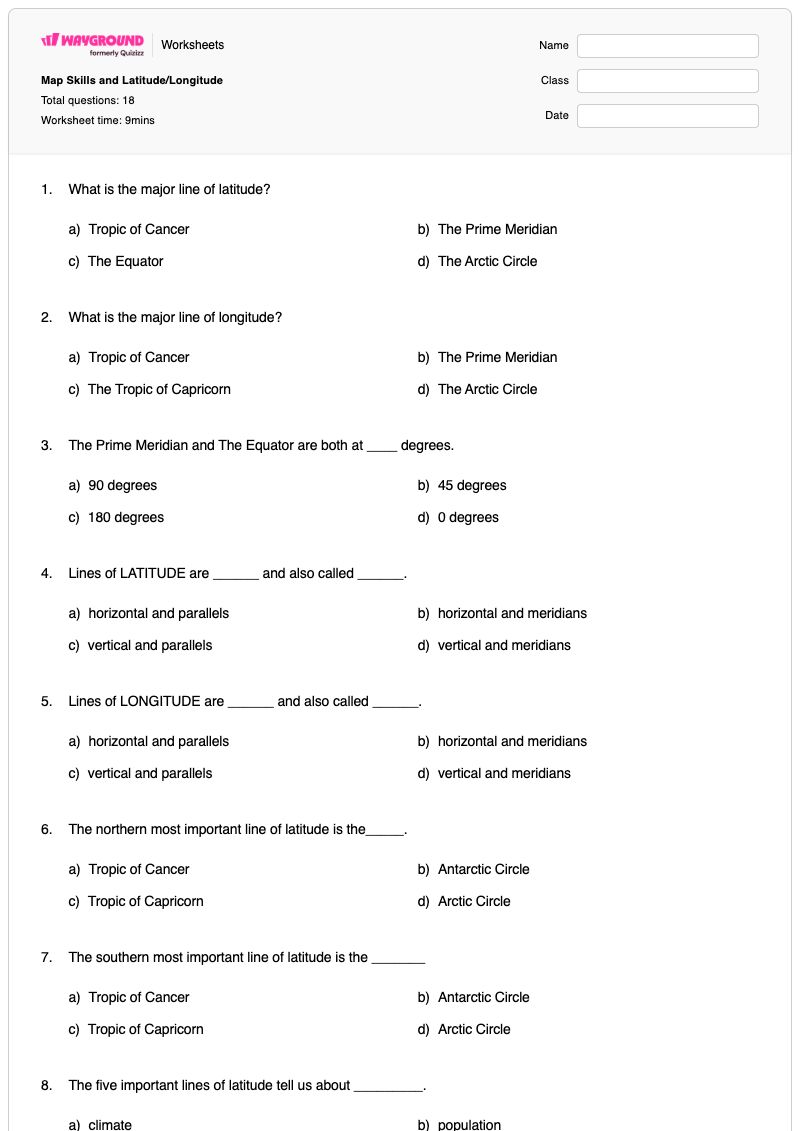
This Grade 6 social studies worksheet builds map-reading knowledge through 18 multiple-choice questions about latitude, longitude, major lines, climate zones, coordinates, and map keys. Students identify the Equator and Prime Meridian, distinguish horizontal lines of latitude from vertical lines of longitude, connect important latitude lines with climate, and determine whether latitude measures north–south or longitude measures east–west location. The questions also reinforce the sequence for finding coordinates and the purpose of a map key.
Designed for classroom practice, review, or an assessment of foundational map skills, this free printable worksheet gives students repeated opportunities to select and apply precise geographic vocabulary. Its complete answer key supports efficient checking and feedback, while the focused multiple-choice format makes it easy to identify misconceptions about line names, directions, degrees, and climate-zone boundaries. Teachers can use the worksheet with Grade 6 social studies instruction or as independent practice after introducing latitude and longitude.
Worksheet settings
Font size
S
M
L
XL
Worksheets
Map Skills and Latitude/Longitude
Total questions: 18
Name
Class
Date
1.
What is the major line of latitude?
a)
Tropic of Cancer
b)
The Prime Meridian
c)
The Equator
d)
The Arctic Circle
2.
What is the major line of longitude?
a)
Tropic of Cancer
b)
The Prime Meridian
c)
The Tropic of Capricorn
d)
The Arctic Circle
3.
The Prime Meridian and The Equator are both at ____ degrees.
a)
90 degrees
b)
45 degrees
c)
180 degrees
d)
0 degrees
4.
Lines of LATITUDE are ______ and also called ______.
a)
horizontal and parallels
b)
horizontal and meridians
c)
vertical and parallels
d)
vertical and meridians
5.
Lines of LONGITUDE are ______ and also called ______.
a)
horizontal and parallels
b)
horizontal and meridians
c)
vertical and parallels
d)
vertical and meridians
6.
The northern most important line of latitude is the_____.
a)
Tropic of Cancer
b)
Antarctic Circle
c)
Tropic of Capricorn
d)
Arctic Circle
7.
The southern most important line of latitude is the _______
a)
Tropic of Cancer
b)
Antarctic Circle
c)
Tropic of Capricorn
d)
Arctic Circle
8.
The five important lines of latitude tell us about _________.
a)
climate
b)
population
c)
economy
d)
culture
9.
What climate zone is between the Tropic of Cancer and the Tropic of Capricorn (and includes the Equator)?
a)
Polar
b)
Tropical
c)
Temperate
10.
What climate zones are north of the Tropic of Cancer to the Arctic Circle and south of the Tropic of Capricorn to the Antarctic Circle?
a)
Polar
b)
Tropical
c)
Temperate
11.
What climate zones are from the Arctic Circle to the North Pole and from the Antarctic Circle to the South Pole?
a)
Polar
b)
Tropical
c)
Temperate
12.
When finding the coordinates of a place, start with _______
a)
Latitude
b)
Longitude
13.
Latitude measures where something is ______
a)
East or West
b)
North or South
14.
Longitude measures where something is _________
a)
East or West
b)
North or South
15.
A box with symbols that represent points on a map is called a ______
a)
cardinal direction
b)
compass
c)
map key
d)
map scale
16.
North, East, South, and West are known as_______
a)
cardinal directions
b)
intermediate directions
17.
Northeast, Northwest, Southeast, and Southwest are called______
a)
Cardinal Directions
b)
Intermediate Directions
18.
A symbol on a map that shows the cardinal and intermediate directions is called a _____________
a)
Direction Map
b)
Scale
c)
Compass Daisy
d)
Compass Rose
Answer Key
Map Skills and Latitude/Longitude
Total questions: 18
1.
c)
The Equator
2.
b)
The Prime Meridian
3.
d)
0 degrees
4.
a)
horizontal and parallels
5.
d)
vertical and meridians
6.
d)
Arctic Circle
7.
b)
Antarctic Circle
8.
a)
climate
9.
b)
Tropical
10.
c)
Temperate
11.
a)
Polar
12.
a)
Latitude
13.
b)
North or South
14.
a)
East or West
15.
c)
map key
16.
a)
cardinal directions
17.
b)
Intermediate Directions
18.
d)
Compass Rose
140 %
Browse by subjects
Browse by grades
Browse by format
FAQs
What does the Map Skills and Latitude/Longitude worksheet cover?
This Grade 6 worksheet uses 18 multiple-choice questions to practice identifying the Equator, Prime Meridian, parallels, and meridians; matching important latitude lines to climate zones; and distinguishing north–south latitude from east–west longitude. Students also apply the coordinate-order rule of starting with latitude and identify a map key, building accurate map-reading vocabulary and location skills.
How can I use this worksheet to teach latitude and longitude?
Introduce the Equator and Prime Meridian first, then have students sort the worksheet’s terms into latitude concepts and longitude concepts before completing the multiple-choice items. Pause to discuss why latitude is described as horizontal or parallel and why longitude is described as vertical or meridian, then use the climate-zone questions to connect lines of latitude with tropical, temperate, and polar regions. Finish by modeling the worksheet’s coordinate sequence: latitude first, followed by longitude.
What mistakes should I watch for when students complete this map skills worksheet?
Students may confuse the Equator with the Prime Meridian, reverse the meanings of latitude and longitude, or select meridians for horizontal lines and parallels for vertical lines. Watch for errors in the climate-zone items, especially confusing the tropical, temperate, and polar regions or treating the Tropics as the boundaries of the polar zones. Students may also choose longitude first when identifying coordinates or confuse a map key with a compass or map scale.
How do I assign and grade this latitude and longitude worksheet?
The worksheet is available as a printable PDF and as a digital quiz on Wayground, and it includes a complete answer key. You can grade printable submissions by scanning student work with the Wayground for Teachers app, or use the digital quiz for online responses and results. The printable format also supports classrooms that are reducing screen time.
How can I differentiate this worksheet for my students?
Use the worksheet’s Advanced Settings to adjust font spacing or increase the font size so the 18 multiple-choice items are easier to read and complete. You can also apply a dyslexia-friendly font or translate the worksheet into another language. These options can make the latitude-and-longitude vocabulary, climate-zone choices, and map-key question more accessible without changing the skills being practiced.
Where can I find more worksheets like this on Wayground?
Wayground offers a comprehensive collection of free printable worksheets and practice problems across subjects, with downloadable PDFs and answer keys to support mastery of essential skills and concepts. Browse more resources at https://wayground.com/en-us/worksheets.

 Worksheets