
 Worksheets
Orienteering Introduction
Total questions: 20
Worksheet time: 10mins
Name
Class
Date
1.
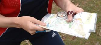
Which is not needed to orienteer?
a)
map
b)
GPS
c)
compass
2.
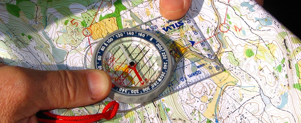
Crossing territory using a map and compass is known as...
a)
orienting the map
b)
orienteering
c)
orientation
d)
orientational
3.

In which European country did the sport originate?
a)
Norway
b)
Russia
c)
Sweden
d)
Valley Forge
4.
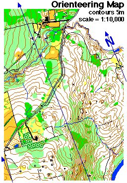
A map that shows the features of the earth's surface is...
a)
geographic map
b)
political map
c)
topographic map
d)
special purpose map
5.
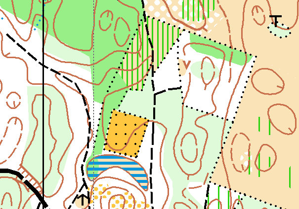
On an orienteering map, how are changes in elevation shown?
a)
colors
b)
contour lines
c)
in the key
d)
with numbers
6.

Other than "by foot" which is not a way to complete an orienteering course?
a)
in a canoe
b)
riding a bike
c)
riding a horse
d)
while skiing
7.

Which color (level) course is not among those that are the easiest to complete?
a)
white
b)
green
c)
yellow
d)
orange
8.

A novice is not...
a)
a beginner
b)
a person who is learning a skill
c)
an expert
9.
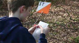
Which characteristic is true of an expert orienteering course?
a)
it is shorter
b)
travel within site of identifiable andmarks
c)
greater reliance on the compass
d)
terrain is easier
10.
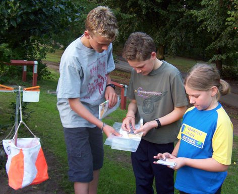
To navigate an orienteering course, you will need...
a)
a tour guide
b)
a written set of directions
c)
a GPS
d)
a topographic map and a compass
11.
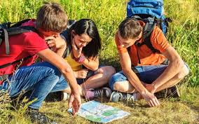
One key to successful navigation of an orienteering course is to know...
a)
the location of the next control
b)
the sun's position overhead
c)
your latitude and longitude
d)
where you are on the map
12.
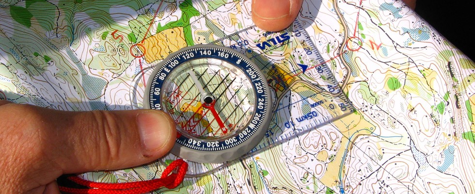
A compass will always be oriented to the...
a)
north
b)
south
c)
east
d)
west
13.
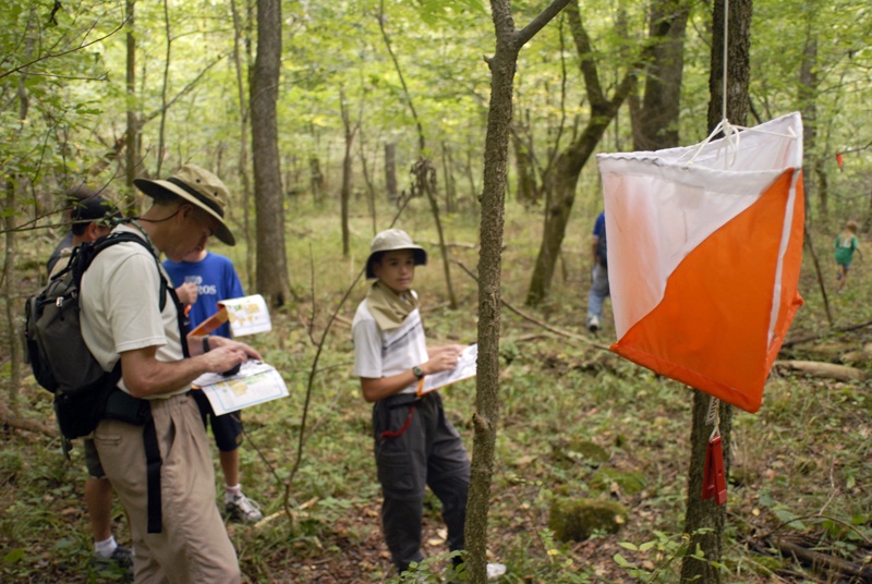
The colors of the controls are...
a)
red/white/blue
b)
orange and white
c)
gold and black
d)
orange and green
14.
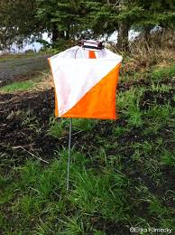
How do you show you visited a control?
a)
you punch a spot on the control card
b)
you shout "I'm here" for all to hear
c)
you take a slip of paper with the number on it
d)
you write your initials on the control
15.
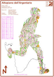
Streams, rocks, tree roots, rivers, are ...
a)
nature's gifts to human beings
b)
not shown on a topographic map
c)
relief features of the earth's surface
d)
not visible on an orienteering course
16.
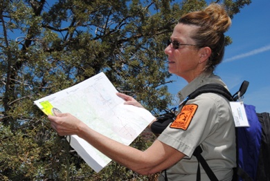
Matching the map's orientation to the features you see around you is...
a)
not a wise thing to do
b)
a waste of time while orienteering
c)
orienting the map
d)
not helpful
17.

Orienteers call vegetation that is impassable...
a)
"fright"
b)
"flight"
c)
"fight"
d)
"blight"
18.

The color of streams, rivers, lakes on an orienteering map is...
a)
brown
b)
yellow
c)
green
d)
blue
19.
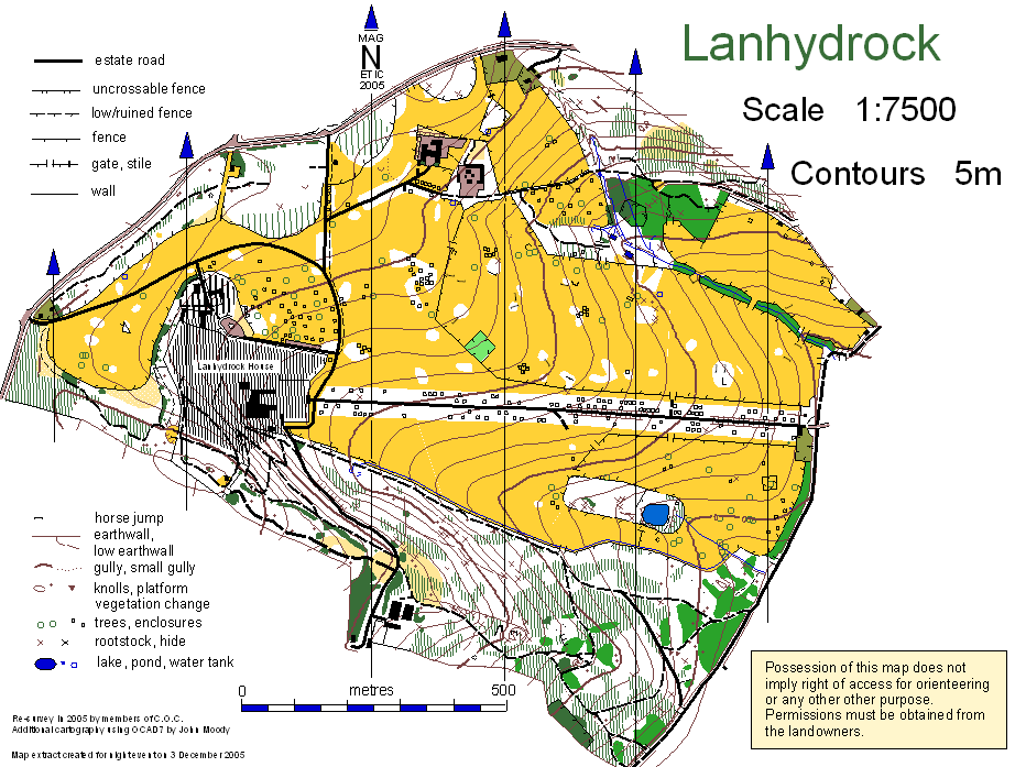
Orienteers consider this color their "friend" because it is the color of open, passable fields.
a)
yellow
b)
black
c)
brown
d)
dark green
20.
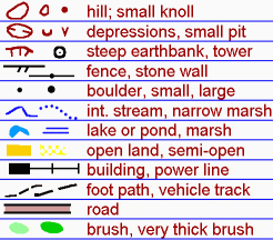
Where would you look on an orienteering map to learn the meanings of the symbols?
a)
the title
b)
the contour lines
c)
the key or legend
d)
the credits
100 %

