
 Worksheets
South Asia Geography
Total questions: 30
Worksheet time: 17mins


What river, the most HOLY to HINDUS, is this?
Indus River
Ganges River
Huang He River
Mekong River

What large physical barrier separates India from China?
the Himalayas

Oldest human settlements in South Asia are near the _____ a river (LETTER A on the map) in Pakistan.
Indus River
Ganges River
Colorado River
Tirgis-Euphrates River(s)

Is Sri Lanka an island or is it connected to India?
It is an island.
It is connected to India.

What's dis?
Ural Mountains
Andes Mountains
the Himalayas

Mount Everest is located on the border between China and neighboring _____
Nepal & India
India & Sri Lanka
India

What is this flooded & rainy country?
Its flag has a red circle like Japan's, but with a green background

Long skinny country on the edge of the Himalayas
Only country with a non-rectangular flag

Small, isolated, mountain
Buddhist country
Orange and yellow flag with a Dragon

Tropical island archipelago
Expensive vacation destination

Which river flows through Pakistan?
One of the first 4 civilizations on Earth was here
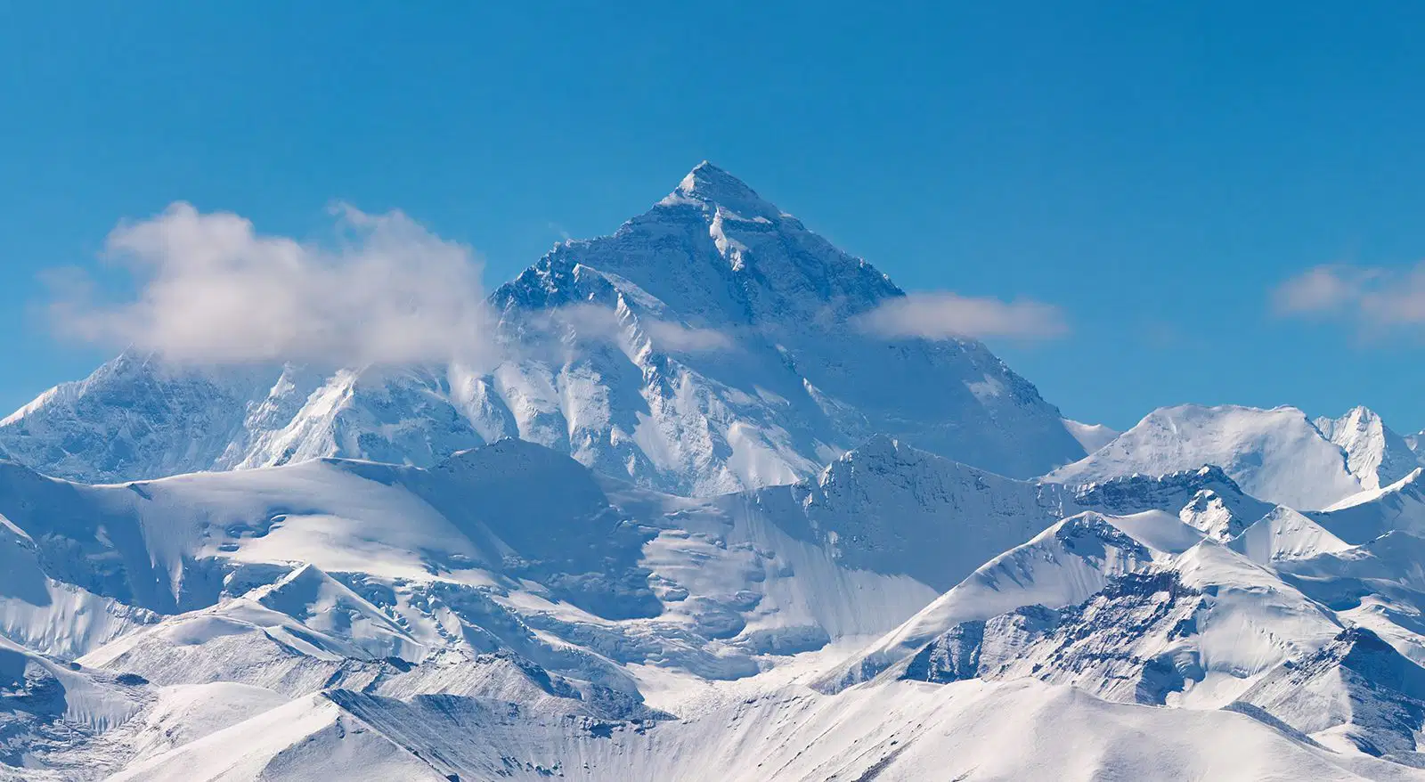
The Indus, Ganges, and Brahmaputra Rivers all begin high in the ____ from melting mountain snow
In the Himalayas
The highest point on Earth above sea level
Atlas Mtns.
Rocky Mtns.
the Andes


China

India's population is now higher than China's
False
True

Pakistan is
A
B
C
D
the BAY OF BENGAL is
I
J
K
the ARABIAN SEA is
I
J
K
the INDIAN OCEAN is
I
J
south of Letter G and F

The letter C on the map follows the flow of the _____ down to Bangladesh
Brahmaputra River
Ganges River
Indus River
Irrawaddy River

AFGHANISTAN is ___, northwest of Pakistan and India
A
B
C
D

Letter D is ______
Where your journey to Mt. Everest begins
Nepal
Bhutan
Pakistan
India
Bangladesh

LETTER F down at the bottom of the map is
Maldives
Philippines
Sri Lanka
Mauritania
Bhutan

H at the bottom of this is _____
An island off the coast of India
Sri Lanka
Maldives
Bhutan
Bangladesh
Pakistan

What's the 3rd highest point on earth?
Everest
K2
Kangchenjunga
Lhotse

When under British Control,
India, Bangladesh, and Pakistan were all the same country.
(See photo)
True
False

