wayground logo

Free Printable Worksheets

Font size

S
M
L
XL
Worksheets

Vocabulary Quiz

Total questions: 23

Worksheet time: 17mins

Name
Class
Date
1.

-What is the difference between a prairie and a savanna?

a)

Savannas have a rainy season

b)

Savannas have many trees.

c)

Prairies have no animals that live on them.

d)

Both are grasslands.

2.
Islands are bodies of land surrounded by water on how many sides?
a)
one
b)
two
c)
three
d)
all
3.
Whole body of salt water that covers most of earth?
a)
lake
b)
coast
c)
ocean
d)
river
4.
Mountains, rivers, lakes, deserts are all types of?
a)
Landforms
b)
Water
c)
Maps
d)
Climates
5.
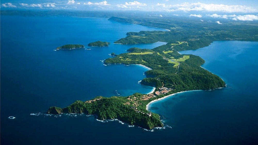
Define peninsula
a)
A piece of land that is bordered by water on all sides.
b)
an area that is higher than surrounding land
c)
low land between two mountains
d)
piece of land that is bordered on three sides but is connected to the mainland.
6.
someone who makes maps
a)
cartographer
b)
geographer
c)
archaeologist
d)
scientist
7.

What is astronomy?

a)

The study of the stars and space

b)

The study of oceans

c)

The use of natural resource

d)

The making of maps.

8.

Which is larger?

a)

County

b)

Region

c)

town

d)

city

9.

Which two words are synonyms?

a)

island and penninsula

b)

exploration and island

c)

ocean and river

d)

province and state

10.
Look at the map- which side of this map is east?
a)
top
b)
bottom
c)
left
d)
right
11.

______ circle the earth and are parallel to the Equator. They measure distance north and south of the Equator.

a)

Latitude

b)

Longitude

c)

Elevation

d)

Plain

12.

Natural material used by people

a)

Natural resounce

b)

Tepee

c)

Plateau

13.

Area that is unified by one or more common characteristics

a)

Plain

b)

Country

c)

Region

d)

Gulf of Mexico

14.

The imaginary lines that runs from north to south...

a)

longitude

b)

climate

c)

latitude

d)

ocean

15.

Drawing on a flat surface

a)

Map

b)

Globe

c)

Key

d)

Title

16.

What do cartographers do?

a)

Study pollution

b)

Make roads and highways

c)

Make maps

d)

Study charts

17.
a)
The map shows lines of longitude.
b)
The map shows lines of latitude.
18.
a)
The map show the lines of longitude.
b)
The map shows the lines of latitude.
19.
Cutting down trees to build houses is an example of which?
a)
Location
b)
Place
c)
Human-Environment Interaction
d)
Movement
20.
What is a Region
a)
Tells us ways in which the places in an area are alike
b)
Tells us what makes an area special and what makes it different from every other area
c)
Tells us where people and places are
21.
What is this continent called?
a)
South America
b)
North America
c)
Latin America
d)
Antarctica
22.
long, large stream
a)
isthmus
b)
river
23.

Huge treeless plain bordering Arctic Ocean

a)

tundra

b)

rain forest

c)

tropics

d)

desert