
NEW
Font size
 Worksheets
USI.2b Early Indigenous Tribes (Geography and Climate)
Total questions: 21
Worksheet time: 19mins
Where do American Indians live today?
nowhere, they are extinct
in their homelands and many other areas of North America
in the desert areas of North America
in the upper regions of Canada
The ___ region includes present-day Alaska and northern Canada.
Arctic
Eastern Woodlands
Pacific Northwest
Great Plains
Southwest
Tribes like the Kwakiutl inhabited the rainy, mild climate of the ____.
Arctic
Eastern Woodlands
Pacific Northwest Coast
Great Plains
Southwest
Nomadic tribes like the Lakota followed their main food source, the bison, across the _____.
Arctic
Eastern Woodlands
Pacific Northwest Coast
Great Plains
Southwest
The Pueblo inhabited the hot and dry desert of the ___, in what is now New Mexico and Arizona.
Arctic
Eastern Woodlands
Pacific Northwest Coast
Great Plains
Southwest
The homeland of the Iroquois is in the heavily forested northeast North America in an area known as the ____.
Arctic
Eastern Woodlands
Pacific Northwest
Great Plains
Southwest
The ___ is an area characterized by dry grassland.
Arctic
Eastern Woodlands
Pacific Northwest
Great Plains
Southwest
The tribes of the ___ lived in desert areas bordering cliffs and mountains.
Arctic
Eastern Woodlands
Pacific Northwest
Great Plains
Southwest
The ___ region has a temperature that is below freezing much of the year.
Arctic
Eastern Woodlands
Pacific Northwest
Great Plains
Southwest
The ___ has coastal waters, mountain ranges, and dense forests.
Arctic
Eastern Woodlands
Pacific Northwest
Great Plains
Southwest
The ___ has a temperate climate with four distinct seasons.
Arctic
Eastern Woodlands
Great Plains
Southwest
Pacific Northwest

Which tribal region is shaded in grey on the map?
Arctic
Eastern Woodlands
Pacific Northwest Coast
Eastern Woodlands
Southwest
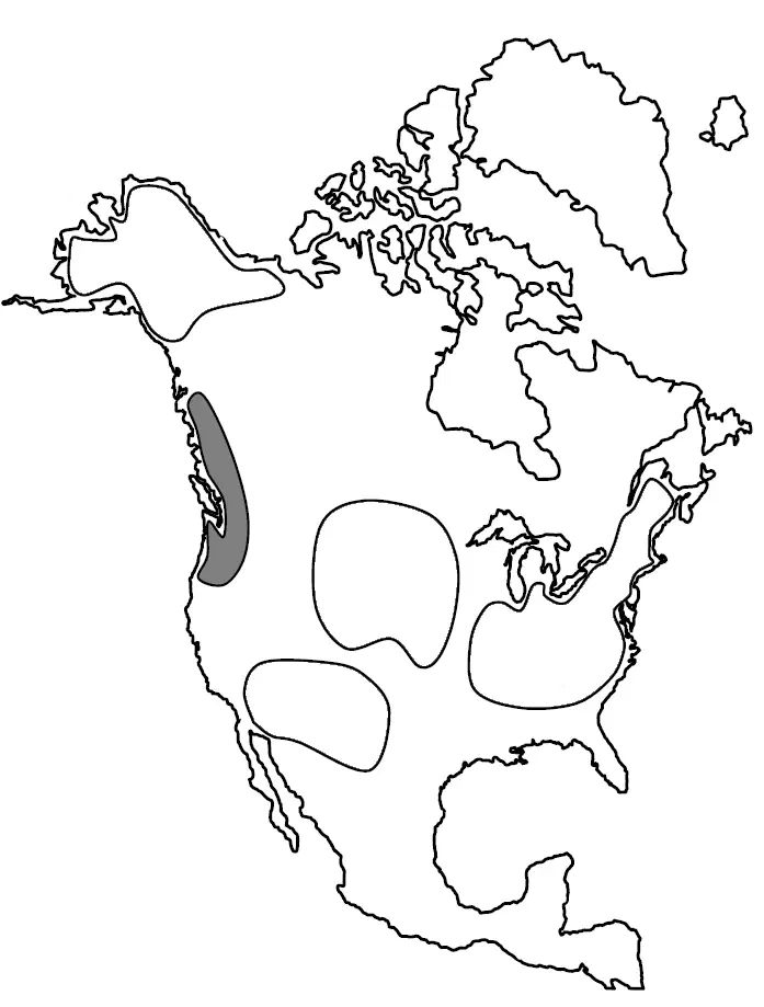
Which tribal region is shaded in grey on the map?
Arctic
Eastern Woodlands
Pacific Northwest Coast
Great Plains
Southwest
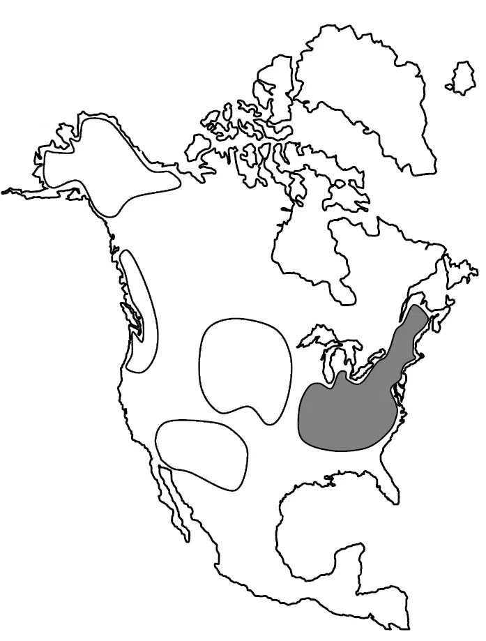
Which tribal region is shaded in grey on the map?
Arctic
Eastern Woodlands
Pacific Northwest Coast
Great Plains
Southwest
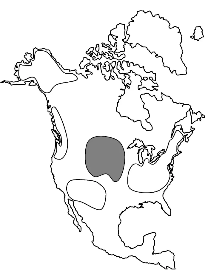
Which tribal region is shaded in grey on the map?
Arctic
Eastern Woodlands
Pacific Northwest Coast
Great Plains
Southwest
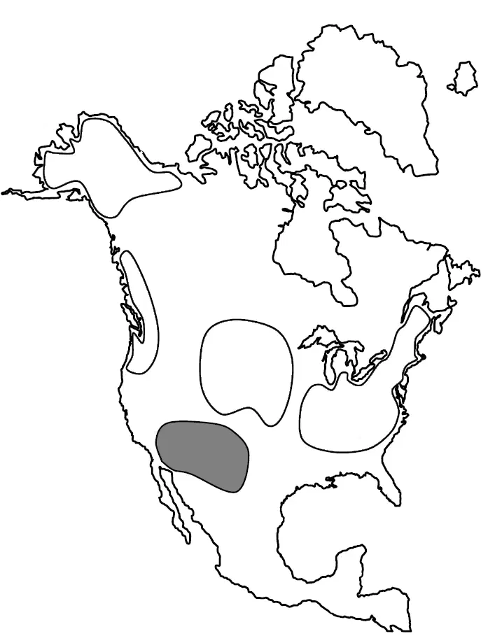
Which tribal region is shaded in grey on the map?
Arctic
Eastern Woodlands
Pacific Northwest Coast
Great Plains
Southwest
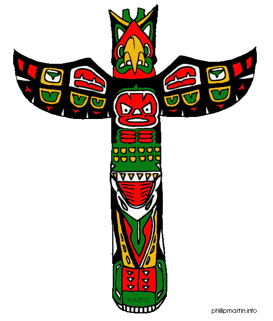
Tribes from the _____ would have used cedar trees from their environment to make totem poles.
Arctic
Pacific Northwest
Great Plains
Southwest
Eastern Woodlands
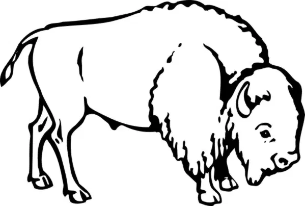
Tribes from the _____ would have used bison from their environment for food, clothing, and shelter.
Arctic
Pacific Northwest
Great Plains
Southwest
Eastern Woodlands
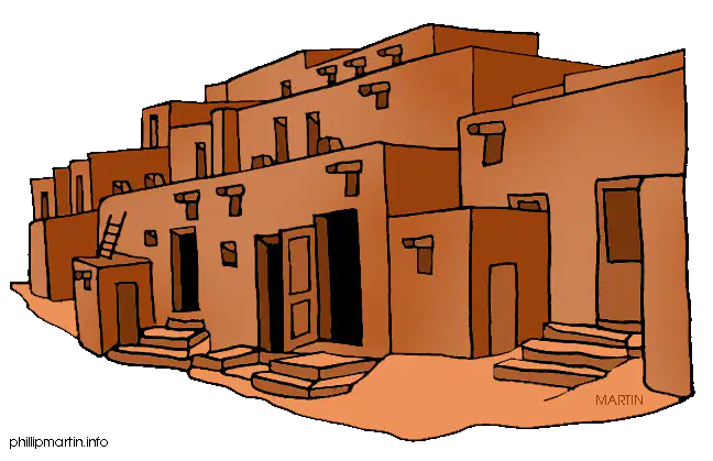
Tribes from the _____ would have used clay from their environment to make pottery and build adobe homes.
Arctic
Pacific Northwest
Great Plains
Southwest
Eastern Woodlands
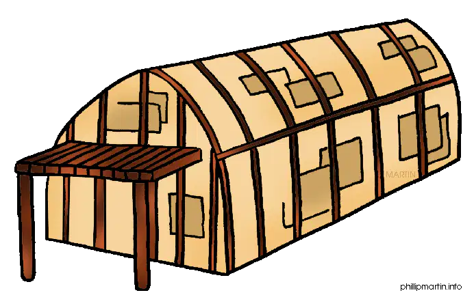
Tribes from the _____ would have used trees from their environment to build longhouses out of tree bark.
Arctic
Pacific Northwest
Great Plains
Southwest
Eastern Woodlands
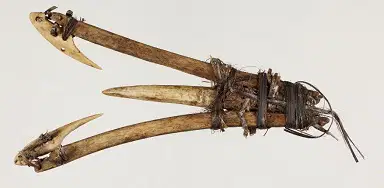
Tribes from the _____ would have used whale bone and walrus ivory from their environment to make fishing spears.
Arctic
Pacific Northwest
Great Plains
Southwest
Eastern Woodlands

