
 Worksheets
North American Geography
Total questions: 15
Worksheet time: 43mins

What country or territory is this?
Canada
Mexico
United States
Brazil

What country or territory is this?
United States
Greenland
Canada
Mexico

What country or territory is this?
United States
Greenland
Mexico
Canada

An area that is known by certain features
region
boundary
border
urban

Name the region in blue.
West
East
South
Midwest
The term that best describes moving to a new location to better your life
migration
globalization
modify
transforming
Is the example describing a push or pull factor?
Cameron is moving TO Toronto FROM Los Angeles, because LA has such high crime rates.
push factor
pull factor
If you fear that your government will oppress you and is a dictatorship, you would be moving for which push factor?
economic conditions
political instability
civil war
environmental conditions
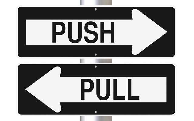
Pull factors are....
good things that draw a person to another country
reasons people can't leave their city
reasons that drive a person out of their country

Political maps show
country borders
rivers
population
all of these

Which United States region does Missouri belong to?
Northeast
Southeast
West
Midwest

The imaginary line that divides the Earth into northern and southern hemispheres is called...
Climate Zones
Prime Meridian
Equator
Valley

