
 Worksheets
geography 7
Total questions: 29
Worksheet time: 15mins
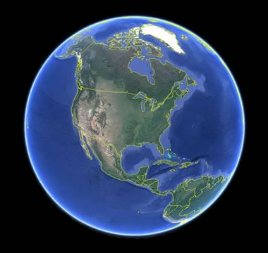
How many continents are there in the world?
6
7
10
1 Giant Continent
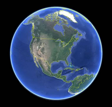
How many oceans are there on the Earth?
4
2
7
5
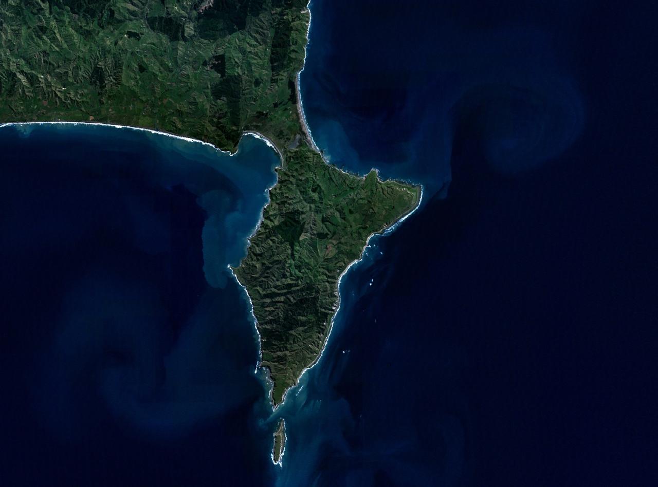
What do you call land surrounded by water on 3 sides?
island
continent
tributary
peninsula
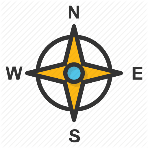
The directions North, South, East, and West are called the
Reverse directions
Intermediate directions
Cardinal directions
Compass directions
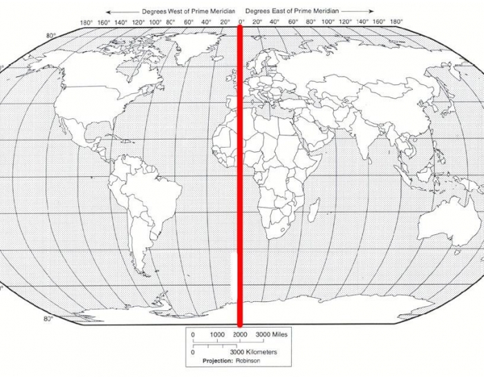
What is the imaginary line that divides the Earth East and West?
Equator
Dividing Line
Prime Meridian
Axis

What is the capital of the USA?
Washington
Trenton
Washington, D.C.
America
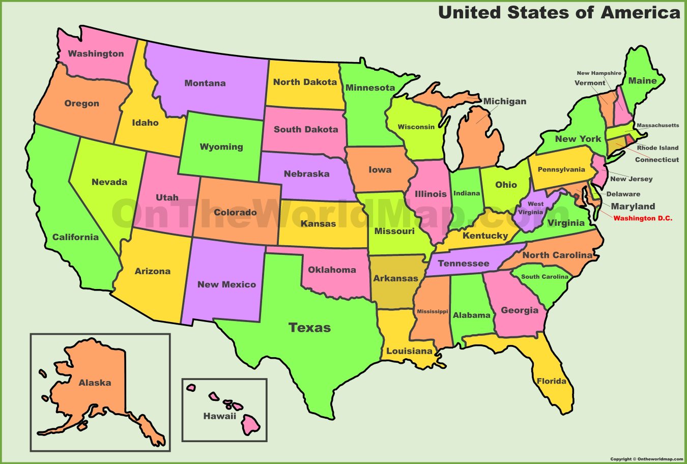
What were the last 2 states admitted to the USA?
Alaska and Montana
Alaska and Hawaii
Hawaii and Montana
Hawaii and Idaho
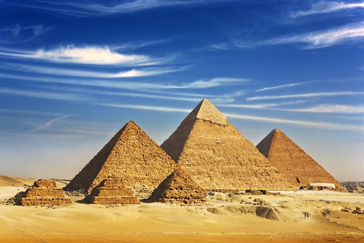
On what continent would you find the country of Egypt?
Asia
Africa
North America
South America
What is the largest ocean?
Pacific
Atlantic
Indian
Arctic
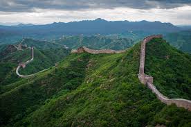
Which continent is the largest?
Africa
Asia
Antarctica
Russia
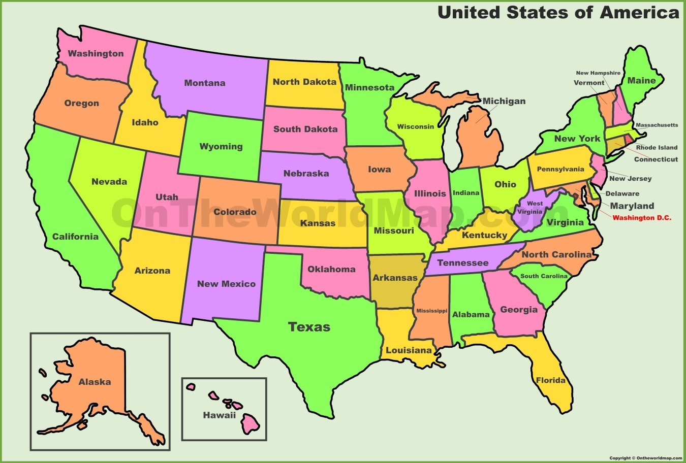
What continent would you find the United States on?
Asia
North America
South America
Africa
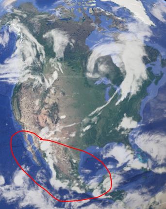
Who is America's neighbor to the South?
America
Canada
England
Mexico
The movement of people from the countryside to cities is known as
Deforestation
Desertification
Urbanization
The process by which land that can be farmed or lived on turns into the desert is known as
Deforestation
Desertification
Urbanization
Which continent is also a country?
Africa
Antarctica
Asia
Australia
Europe

People can affect the environment in which they live. What does this picture show?
Deforestation
Desertification
Urbanization

People can affect the environment in which they live. What does this picture show?
Deforestation
Desertification
Urbanization
____________ is a large, flat area of land that is higher than the surrounding land.
Plain
Plateau
Fjord
Estuary
weather
globe

What is the circled ocean?
Pacific Ocean
Alantic Ocean
Black Sea
English Channel
What is the largest country (by population)?
Russia
Brazil
USA
China

What continent is circled?
Brazil
Africa
South America
Iceland
What is the largest body of water?
Pacific Ocean
Atlantic Ocean
North Sea
Black Sea


What geographical feature is this?
River
Desert
Mountain Range
Peninsula

What geographical Feature is this?
Desert
River
Mountain Range
Peninsula

