
 Worksheets
Landforms Check
Total questions: 15
Worksheet time: 1hrs 15mins
Name
Class
Date
1.
This is a low place in between two hills or mountains.
a)
Canyon
b)
Valley
c)
Desert
d)
Lake
2.
A landmass with an elevation higher than a hill. (steep on both sides)
a)
Hill
b)
Valley
c)
Mountain
d)
Valley
3.
A flat area of land.
a)
Ocean
b)
Mountain
c)
River
d)
Plain
4.
A large body of fresh water that flows into other bodies of water.
a)
River
b)
Valley
c)
Plain
d)
Lake
5.
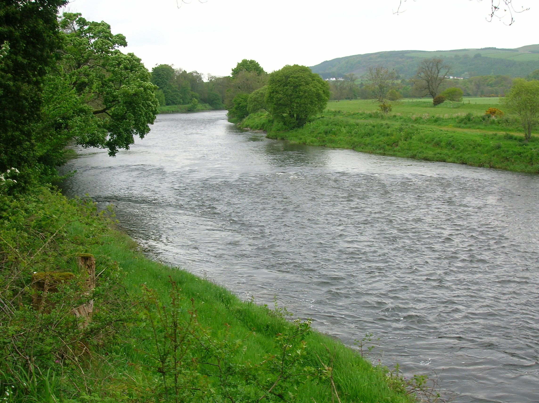
Name this body of water
a)
plain
b)
canyon
c)
valley
d)
river
6.

Name this landform
a)
lake
b)
hill
c)
mountain
d)
island
7.

What is this symbol?
a)
scale
b)
key
c)
compass rose
d)
map
8.

What direction is indicated by the number 2?
a)
north
b)
east
c)
south
d)
west
9.

What direction is indicated by the number 3?
a)
northeast
b)
northwest
c)
southeast
d)
southwest
10.
What is a plateau?
a)
High and steep land
b)
High and flat land
c)
Water that flows into a lake
d)
A narrow strip of land
11.
What is a ridge?
a)
Water that flows into a lake
b)
High and flat land
c)
High and narrow (thin) land
d)
The land between two mountains
12.

What river is #1?
a)
Chattahooche
b)
Savannah
c)
Flint
13.

What river is #2?
a)
Chattahoochee
b)
Flint
c)
Savannah
14.

What river is #3?
a)
Savannah
b)
Flint
c)
Chattahoochee
15.
a map feature that explains the meaning of colors and symbols used on a map
a)
map conents
b)
map glossary
c)
Map key
d)
map index
100 %

