
 Worksheets
Map Skills 3rd Grade
Total questions: 30
Worksheet time: 18mins


What is the name of this red imaginary line?
Prime Meridian
Equator
North Pole
South Pole


What does the yellow line represent?
Equator
meridian line
Prime Meridian
dateline

Which hemisphere is on the left?
Western
Eastern
Southern
Northern
Which hemisphere is on the right?
Western
Eastern
Southern
Northern

A map showing boundaries of countries, states, and cities is what type of map?
Political
Physical
Thematic
Nothing

What is the part of the map that explains what the symbols and colors on a map mean?
cardinal directions
compass rose
legend/key
map scale

Why do we use grid maps?
To learn about nature.
To locate places on a map.
To see the size of a map.

What object is located at C3?
star
moon
heart
smiley face
You live in what country right now?
Mexico
Canada
Brazil
United States

What is north east of the picnic area?
Swimming pool
Soccer field
Ice-cream stand

What are the intermediate directions?
north, south, east and west
northeast, southeast, northwest, southwest
up, down, left, and right

What direction do you need to travel to go from the ferris wheel to the Food Market?
South
North
Northwest
East


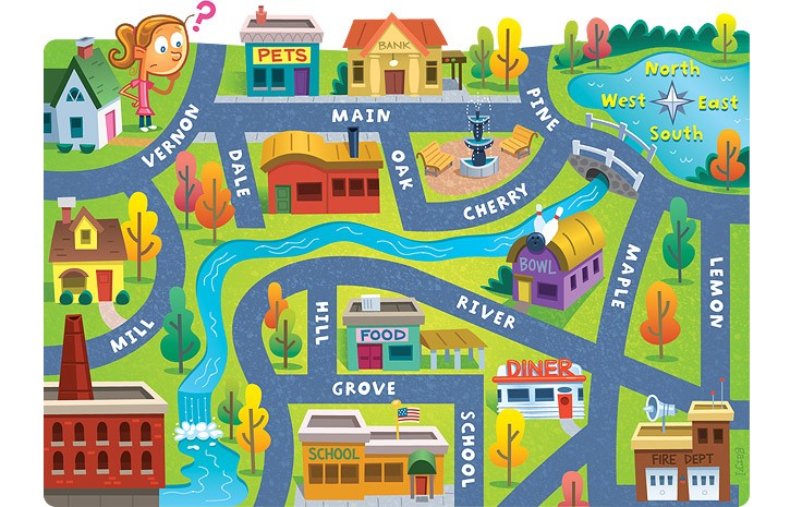

What are the largest areas of land on Earth called?
mountain
plain
continent
country
What state do you live in?
United States
Kentucky
Ohio
North America
The imaginary line that divides the earth into the eastern and western hemispheres is the ________________________.
equator
prime meridian
grid map
hemispheres
A large body of salt water on Earth is called a/an_______________.
pond
ocean
lake
continent
A __________________________ is a set of pointers that shows directions on a map or globe.
compass rose
map key/legend
grid map
globe
A ______________is flat representation of a location on Earth.
globe
map
hemispheres
cardinal directions
A ____________________is any half of the earth.
cardinal directions
globe
map
hemispheres
______________________are north, east south, west
Cardinal directions
Globe
Ocean
Equator
A ________________is a 3-dimensional representation of Earth.
map
globe
cardinal directions
grid map
You live closest to what city?
New York City
Los Angeles
West Liberty
Frankfort

