
NEW
Font size
 Worksheets
3rd - Understanding the Geography of the World
Total questions: 15
Worksheet time: 8mins

the city where the government of a country or state meets
village
capital
state
continent

an area of land that has its own government
culture
land mass
continent
country

the imaginary line that divides Earth into the Northern and Southern hemispheres
equator
prime meridian
latitude
borderline

the line where one place, such as a state or country, ends and another begins
border
section
prime meridian
fence

one of the seven large bodies of land on Earth
oceans
county
continent
country

the study of Earth—its spaces, land, water, air, and people
geography
biology
chemistry
mapology

one of the five largest bodies of water on Earth
lakes
ocean
rivers
continents

the imaginary line that divides Earth into the Eastern and Western hemispheres
Equator
Prime Number
Prime Meridian
Prime Rib

one of the 50 main areas with their own governments that make up the United States
territories
provinces
counties
states
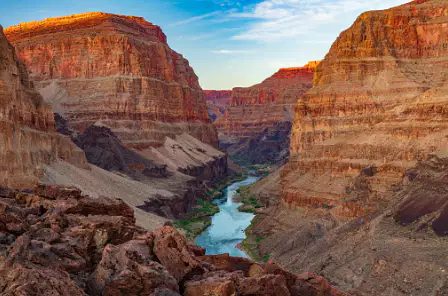
a deep, narrow valley with steep sides
legend
cliff
stream
canyon
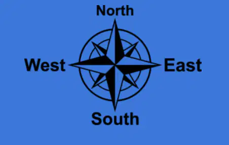
one of the four main directions: north, east, south, and west
dolphin direction
cardinal direction
one direction
dubious direction
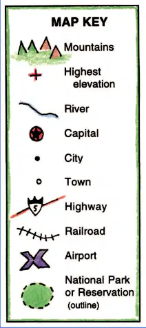
a feature that explains what the symbols on a map stand for
capital
compass
map key
scale
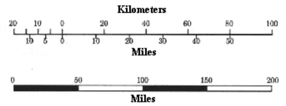
a feature used to figure out distances on a map
ruler
scale
legend
key
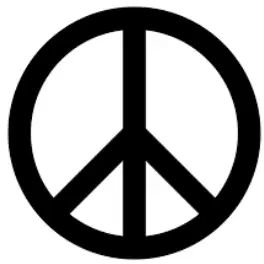
an object that stands for something else (for example, the Liberty Bell is a symbol of freedom)
sign
legend
map
symbol
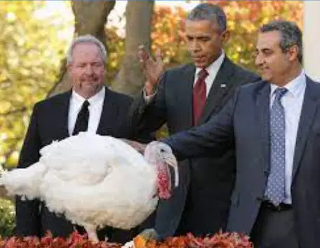
something that people do together year after year
turkey
tradition
legend
key

