
 Worksheets
Unit 1 World Geography Review
Total questions: 48
Worksheet time: 31mins

Letter A represents which continent?
Africa
North America
Asia
South America

Letter B represents which continent?
North America
South America
Europe
Asia

Letter C represents which continent?
Australia
Asia
Antarctica
Europe

Letter E represents which continent?
North America
Africa
Antarctica
ASia

Letter G represents which continent?
North America
South America
Antarctica
Europe

Letter D represents which continent?
Asia
Antarctica
Australia
North America

Letter F represents which continent?
South America
Europe
Asia
Australia
The latitude line that divides the Earth into northern and southern halves is called the...
Hemisphere
latitude
Equator
Prime Meridian
The longitude line that divides the Earth into eastern and western halves is called the ...
hemisphere
longitude
Equator
Prime Meridian

Which continent is at 30 S. , 60 W?
South America
Africa
Australia
Antarctica

Letter K represents which ocean?
Atlantic
Pacific
Indian
Arctic

Letter H represents which ocean?
Atlantic
Indian
Southern
Pacific

Letter I represents which ocean?
Atlantic
Arctic
Southern
Indian

Letter J represents which ocean?
Pacific
Arctic
Southern
Indian

Letter L represents which ocean?
Indian
Southern
Pacific
Arctic
A representation of the curved Earth on a flat surface is known as a--
globe
topographic map
map projection
stratigraphic map
Another name for lines of longitude is--
meridians
poles
primers
parallels


Where is Mazatlán?
It is northwest of Mexico City.
It is northeast of Mexico City.
It is south of Mexico City.
It is southeast of Mexico City.

What are the continents at the following coordinates?
40*N, 100*W
South America
Europe
North America
Asia


if you cross a time zone line going east you must.....
subtract an hour from your watch
add an hour to your watch

Approximately how wide is each time zone, in degrees?
5o
10o
15o
20o

Why aren't time zone boundaries completely straight?
to keep the same country in in the same time zone
to allow for travel time
for train and airplane schedules
because of landforms

When you head west across the International Date Line, it becomes the next day.
True
False

The international dateline measures _____________ degrees
100
90
180
360

London is six hours ahead of Mexico. When it’s 3.00 pm in London, what time is it in Mexico?
12:00pm
9:00pm
12:00am
9:00am

How many time zones in Canada
4
5
6
7

Which city would you find the earliest time of day in Canada?
Vancouver
Calgary
Ottawa
St. John's

Which province has the latest time zone?
Quebec
New Brunswick
NFLD and Labrador
PEI
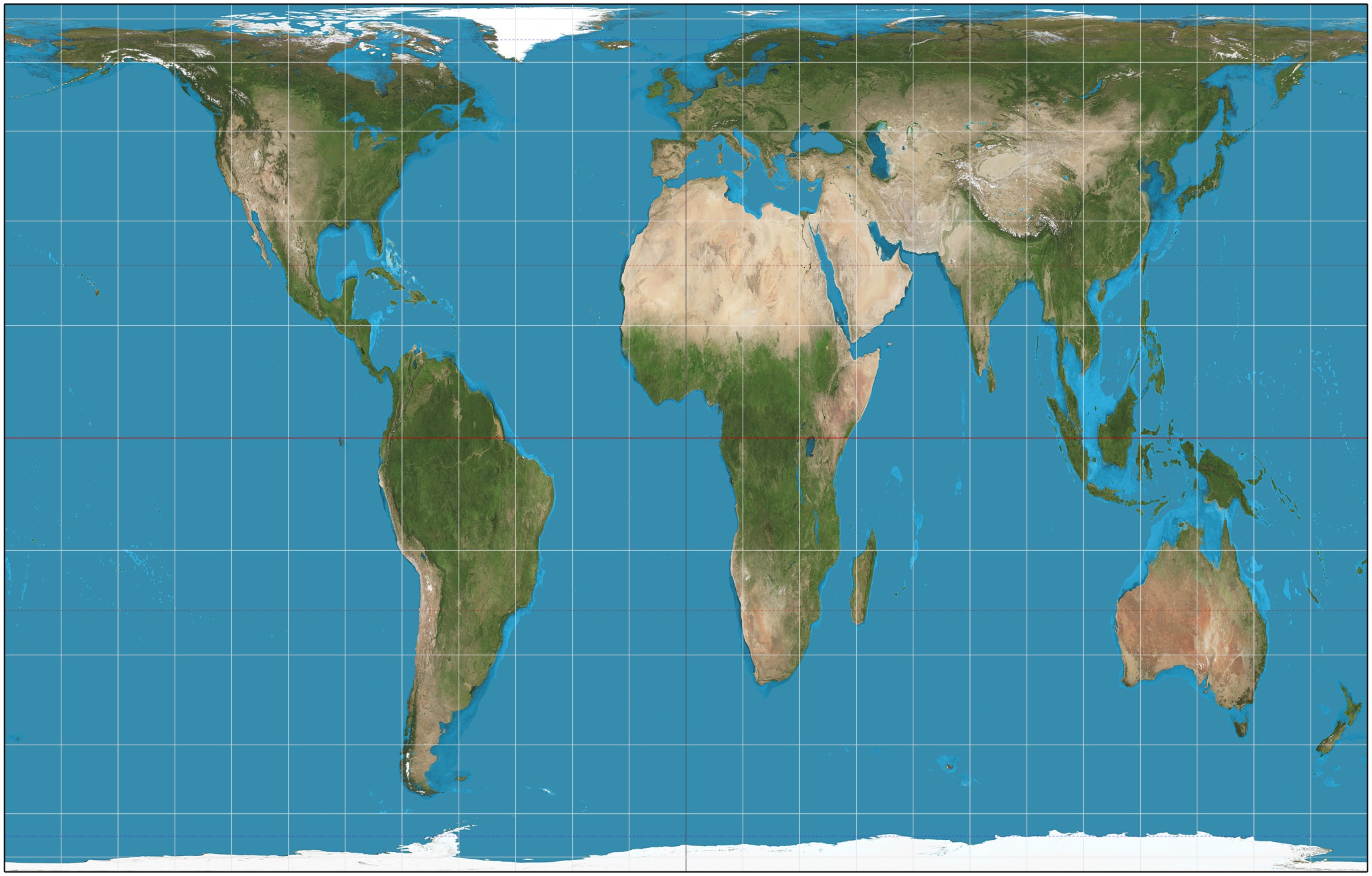


A __________________ projection is a map that represents size correctly. Shapes are disfigured.
map
conformal map
equivalent map
latitude
A ______________ map projection represents the shape of areas correctly. All meridians and parallels cross each other at right angles.
equivalent
conformal
latitude
longitude

