
 Worksheets
The sea pt 2
Total questions: 12
Worksheet time: 6mins
Select the landforms that have been created by erosion.
Headlands
Beaches
Spits
Wave cut platform
Caves, arches, stacks and stumps

What method of coastal management does this image show?
Groynes
Boulder riprap
Gabions
Sea wall

What is the coastal land use in this image?
Agriculture
Sport
Tourism
Trade
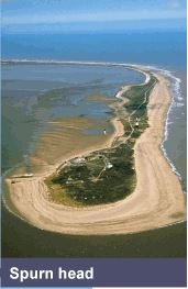
Identify this coastal landform.
Spit
Tombolo
Headland
Sandbar
Which of these is created by deposition?
cave
Sea stack
bay
beach
Which of these is not created by deposition?
cave
spit
dune
beach
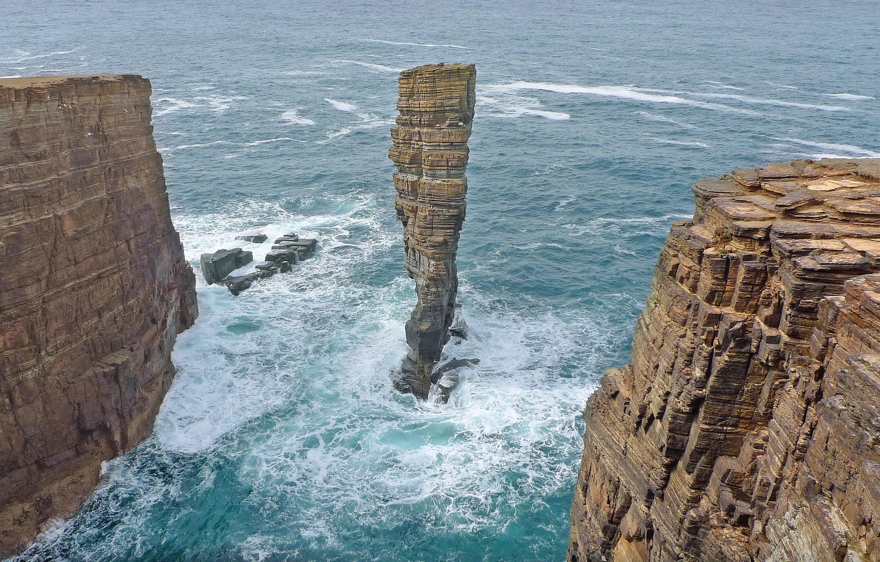
Identify the landform type.
Sea Stack
Sea Stump
Arch
Bay
True or false? Sea Stacks are created by erosion and weathering.
True
False

How do groynes work to protect the coastline?
They trap sediment by slowing down longshore drift, thereby building up a wide beach
They absorb wave energy so that the cliffs behind are protected
They act as a hard rock barrier at foot of cliff to provide a buffer again the sea
They allow rapid longshore drift along the coastline


