
 Worksheets
Grade 5 -Social Science Quiz Bee- Final Round
Total questions: 70
Worksheet time: 38mins

What continent is this?
Africa
South America
Australia
Eurasia
How many countries are on the continent of North America?
50
3
7
21
How many states are in the United States?
3
50
47
5
Continents are divided into what?
states
oceans
countries
provinces

What ocean lies directly north of Europe?
Arctic
Pacific
What ocean lies directly north of Europe?
Arctic
Pacific

Which compass direction is highlighted in the picture?
North
South
East
West

Which compass direction is highlighted in the picture?
North
South
East
West


What continent is this?
Africa
South America
Australia
Antarctica

Which ocean is this?
Arctic
Pacific
Indian
Atlantic



Kangaroos are unique to this Continent
Europe
Austria
United Kingdom
Australia

In geography what is the definition of the equator?
The imaginary line the divides the world into east and west
The vertical and horizontal lines around the world
The combination of lines around the world
The imaginary east-west line encircling the Earth midway between the North and South poles
What is a landform?
Man made structures
Landforms are natural features located on the surface
of the earth.
Rivers and bays
small fuzzy critters
Mountains are...
-large hill with step sides
-low spaces between two hills or mountains
-large area of tall land with a mostly flat top
-a mountain that when erupts allows molten earth "lava" to flow out
-land areas where more water evaporates into the air than comes back through precipitation
atoll
Which of these are mountains?
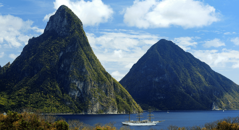
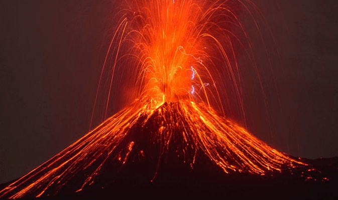
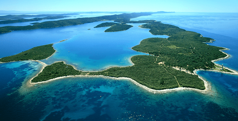
A triangular landform where a river empties into another body of water.
Landform
Canyon
Delta
Valley
A deep gorge in the surface of Earth formed by the erosion of moving water and sediment.
Valley
Delta
Canyon
Landform
The build up of land by the settlement of sediments and soil in a new location.
Weathering
Erosion
Deposition
River
The movement of sediment down a fast-moving river.
Weathering
Erosion
Deposition
River

What was the name of the Alfred Wagner's continent in his theory
Earth
Tera
Pangea
Mars
This landform has a severe lack of water.


Which ocean is NOT connected to a North American Drainage Basin?
Atlantic
Pacific
Arctic
Indian

What is the name of this type of drainage pattern?
Trellis Drainage Pattern
Dendritic Drainage Pattern
Which of these are Natural Landform Changes?
Deposition
Glaciation
Land Reclamation
Plate Tectonics (Earthquakes)
Mining

This landform change is the process of taking land to create new land.
Plate Tectonics
Volcanos
Mountains
Land Reclamation
Is caused by changes in water temperature.
Deep water currents
Surface water currents
This landform is responsible for both the destruction and creation of land.


While hiking in the mountains, Tanya observed a narrow and steep valley with running water at the bottom of it. What most likely caused the valley to first form? SC.6.E.6.1
an earthquake
weathering by water
a rock landslide
erosion by wind
In what ways are rocks eroded and sand deposited? SC.6.E.6.1
Rocks are eroded by the wind as sand. Sand is deposited by abrasion.
Rocks are eroded by abrasion. Sand is deposited by the wind as dunes.
Rocks are eroded by tiny particles moving downward. Sand is deposited by erosion as dunes.
Rocks are eroded by water and wind. Sand is deposited by more water and wind.
The mountains differ from the hills in terms of ___________.
Elevation
Slope
Aspect
None of the above
Glaciers are found in:
The mountains
The plains
The plateaus
The hills
The River Yangzte flows in:
Australia
Japan
Brazil
China


What is the green continent?
North America
South America
Europe
Asia
What is the gold continent?
North America
South America
Europe
Asia
Where is Russia?
Africa
South America
North America
Asia
Where is Thailand?
Asia
Europe
Africa
South America

What are the natural shapes that make up the Earth's surface called?
earthquakes
volcanoes
landforms
erosion
Many animals make their homes inside this landform. It may be a deep hole in the ground or in the side of a mountain.
plain
canyon
hill
cave
A piece of flat land with rich soil is called
hillside
valley
plain

What is a harbor?
a long body of water that flows across land
a large body of salt water
a sheltered area where ships can anchor safely
a very high piece of land

