
Font size
 Worksheets
Contours are fun
Total questions: 23
Worksheet time: 12mins

If contour lines are close together, then the slope is
gentle
steep
flat
going up and down

On a topographic map of a mountain, you walk a longer distance to get to the top when the contour lines are
spread out
close together
going down
going up

What are the curved lines on a topographic map called?
contour lines
contour intervals
slope
elevation

The height above sea level is called
topographic
contour
elevation
depth

A feature of the land, such as a mountain, canyon, or beach, is called a(n)
elevation
topographic map
landform
volcano

What do topographic maps represent?
fossils in a large region of land
how different rocks were formed
geographical features of a region
different elevations in Earth's atmosphere
The ______________ tells you the elevation change from one contour line to the next.
index
contour focus line
number of hills
contour interval
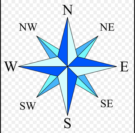

What map would you use to locate the largest body of fresh water in the world?
Political
Physical
Resource
Road
What type of map would you use if you wanted to find the countries bordering Egypt?
Political
Physical
Road
Topographic
What lines are drawn from the North Pole to the South Pole on a globe? Choose all that apply.
Longitude
Latitude
Meridians
Parallels

A CONICAL HILL IS SHOWN BY ....... CONTOURS
Widely spaced
Closely spaced
Concentric
Elliptical
A low lying area between two hills or ridges,often occupied by a river
Plateau
A valley
Plain
Desert
The exact height of a spot or a place above the mean sea level ,as shown on a toposheet
Bench mark
Height
Spot height
Place height
What is the symbol for Permanent Settelment



