
 Worksheets
Maps, Coordinates and Sources
Total questions: 45
Worksheet time: 2hrs 37mins

The red triangle seen on this map can be measured as _____° N (latitude) & _____° E (longitude).
80° N, 120° E
60° N, 120° E
30° N, 100° E
The orange circle seen on this map can be measured as _____° N (latitude) & _____° E (longitude).
20° N, 0° E
60° N, 120° E
10° N, 180° E
The yellow star seen on this map can be measured as _____° N (latitude) & _____° W (longitude).
30° N, 120° W
0° N, 160° W
40° N, 60° W
The pink heart seen on this map can be measured as _____° S (latitude) & _____° W (longitude).
40° S, 100° W
0° S, 160° W
100° S, 0° W
The green diamond seen on this map can be measured as _____° S (latitude) & _____° W (longitude).
180° S, 100° W
20° S, 160° W
0° S, 0° W
The blue square seen on this map can be measured as _____° S (latitude) & _____° E (longitude).
100° S, 10° W
120° S, 80° E
60° S, 140° E
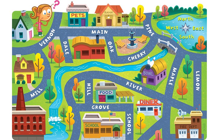

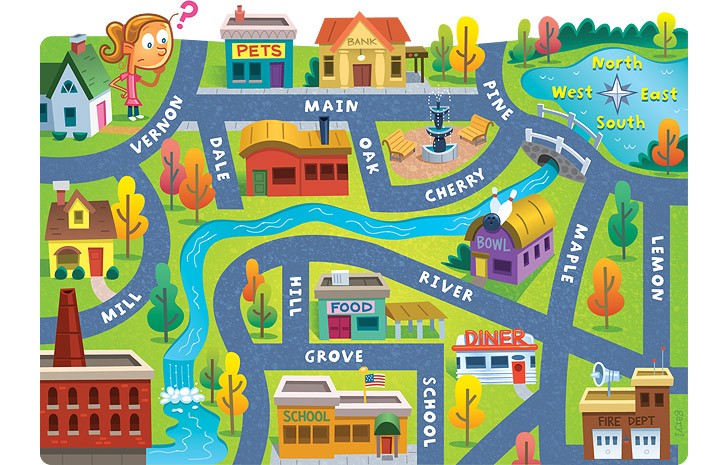
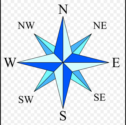
Imaginary lines that run up and down on a globe are called what?
Latitude
Longitude
Place
Region
Imaginary lines that run from left to right are an example of what?
Latitude
Longitude
Region
Coordinates
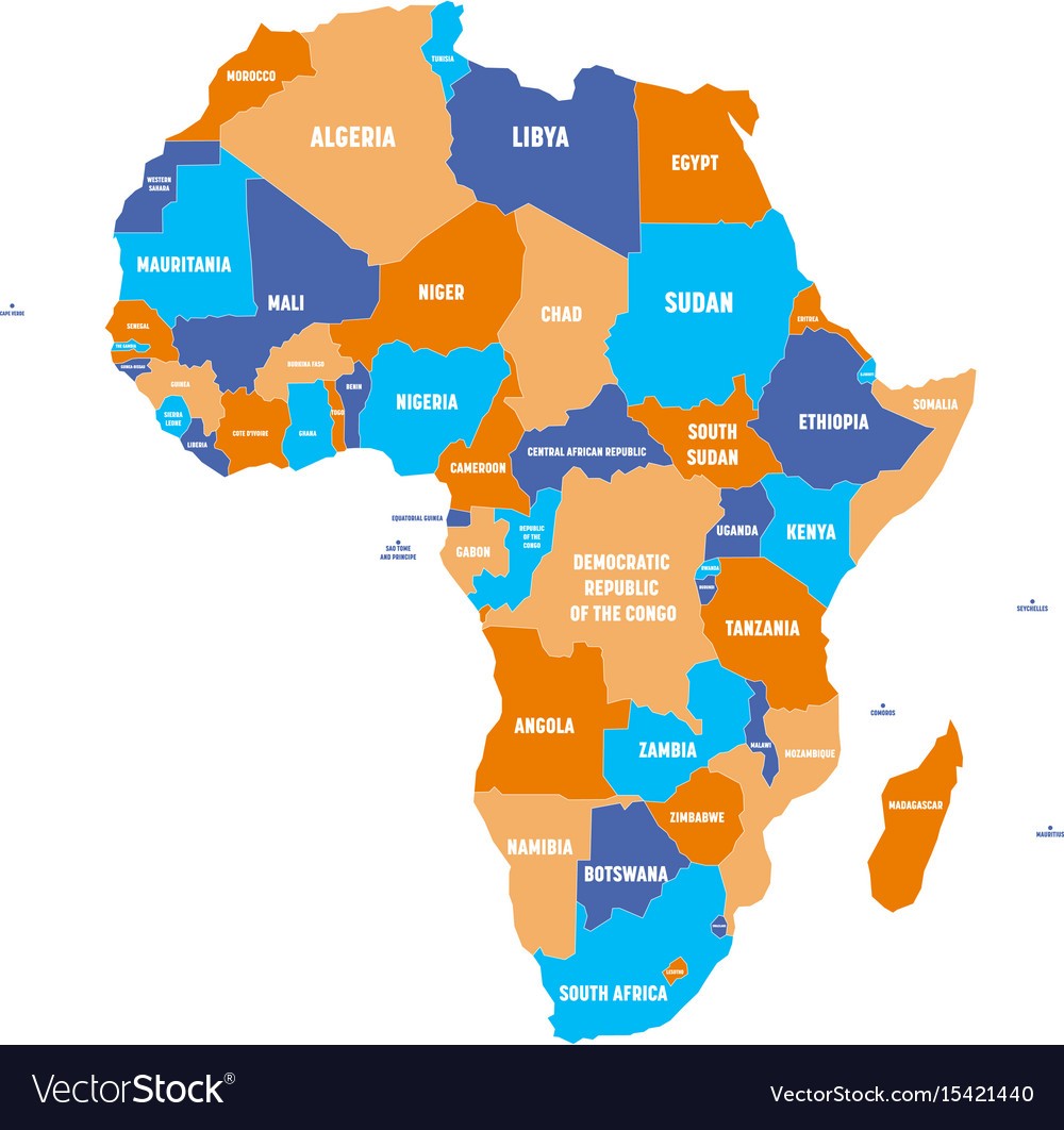
What type of map is this?
climate map
economic resource map
physical map
political map
topographic map

What type of map is this?
climate map
economic resource map
physical map
political map
topographic map
What type of map shows borders of countries, states, and locations of cities
climate map
economic resource map
physical map
political map
topographic map
What type of map shows geographic features such as bodies of water and mountains?
climate map
economic resource map
physical map
political map
topographic map

This map is an example of a . . .
Population Map
Political Map
Climate Map
Physical Map
A map showing mountains, rivers, oceans, valleys, and deserts is what type of map?
Political
Physical
Population
Climate
A map showing boundaries of countries is what type of map?
Political
Physical
Population
Climate

________________ maps show information like the capital cities.
Political
Physical
Thematic
Globe

_____________ maps show information like the mountains and rivers.
Political
Physical
Thematic
Globe

_________ show the Earth as a SPHERE.
Maps
Globes
Compass rose


100°W, 48°N

120°W, 45°N


a textbook chapter on the Middle Ages
primary
secondary
an autobiography of Miss. Hagerhjelm
primary
secondary
an artifact from ancient Egypt
primary
secondary
a movie about the American Revolution
primary
seconday
an interview with Principal Ajibola
primary
secondary
a photo of Justin Beiber
primary
secondary
A primary source is a source that was created later by someone who did not experience first-hand events.
True
False
a letter from Mrs. Ramsey to Miss. Hagerhjelm
primary
secondary
an encyclopedia article about World War 1
primary
secondary
pottery from ancient Rome
primary
secondary
A secondary source is a source that was created later by someone who did not experience the events first-hand.
True
False
youtube video about westward expansion
primary
secondary

