
 Worksheets
Continents, Oceans, & Map Skills Review
Total questions: 20
Worksheet time: 15mins
Earth has SEVEN great bodies of land. They are called _____
global grids
hemispheres
continents
equator
An explanation of what the symbols on a map represent
symbols
compass rose
map key (legend)
scale
An imaginary line that lies halfway between the Northern and Southern Hemisphere, at 0 degrees LATITUDE
prime meridian
latitude
equator
longitude
An imaginary line that lies between the Eastern and Western Hemispheres, at 0 degrees LONGITUDE
prime meridian
equator
global grid
longitude


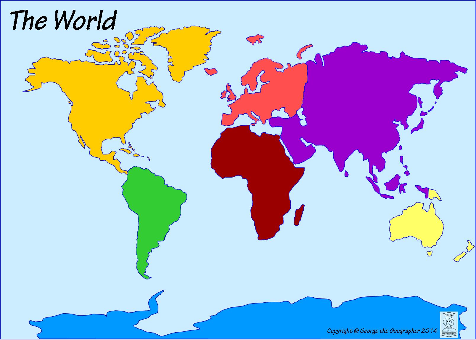
The United States of America is a country located on which continent?
South America
Europe
Africa
North America

North, South, East, and West are which kind of directions?
Intermediate
Normal
Cardinal
Basic
What type of map shows divisions of countries or regions?
physical
political
climate
land use
What type of map shows natural features?
physical
political
climate
historical
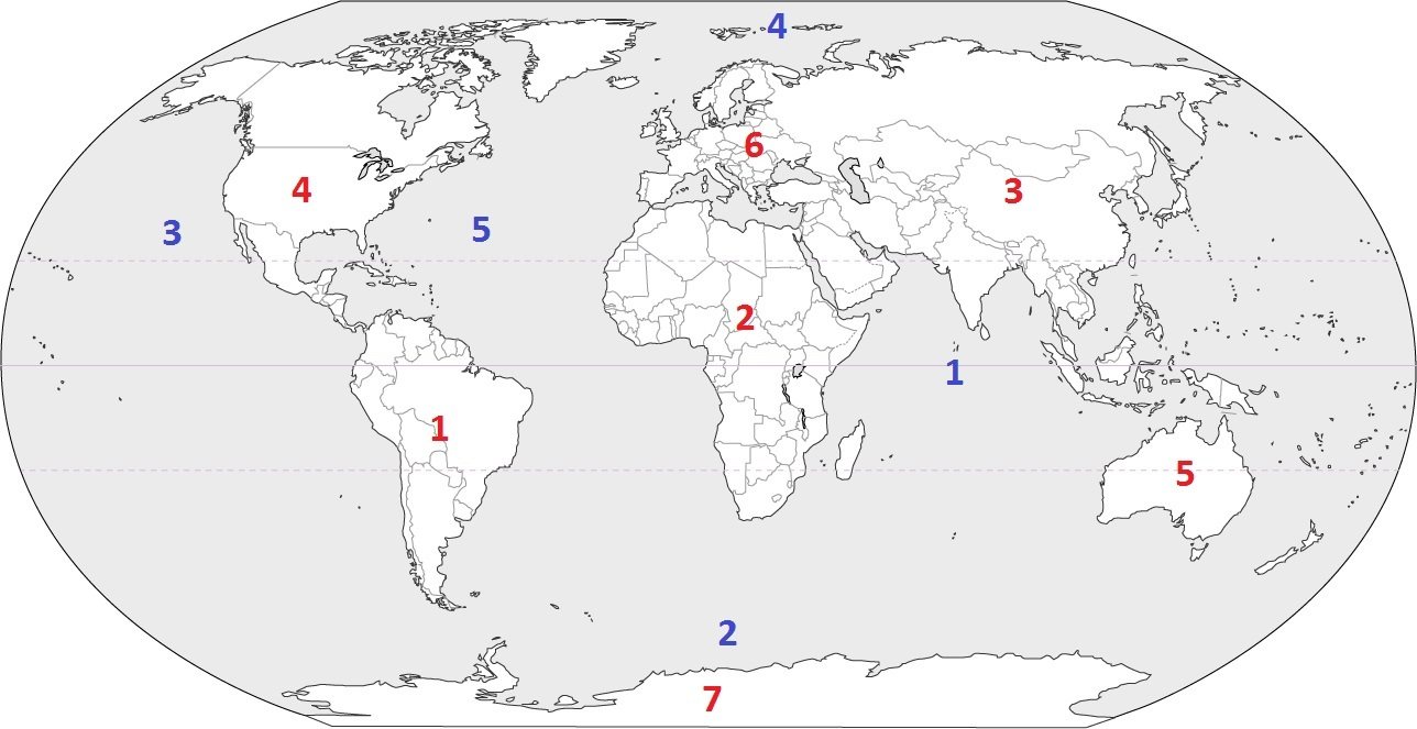
The largest ocean on Earth is the ___ Ocean.
Pacific
Atlantic
Indian
Artic

The Rocky Mountains are what direction from the Great Plains?
North
South
East
West

According to the map, if you are in Salt Lake City what direction is Provo?
West
East
South
North

