
Font size
 Worksheets
Daily Geo Week 2 and Parts of a Map
Total questions: 25
Worksheet time: 2hrs 43mins
What are the points called that are on each end of the prime meridian?
North Pole and South Pole
Western Hemisphere and Eastern Hemisphere
North Pole and Western Hemisphere
South Pole and Southern Hemisphere
What is the name of the imaginary line on which the Earth rotates?
equator
North and South Pole
axis
Western and Southern Hemispheres
How many times does the Earth rotate every 24 hours?
1
2
3
4
Rotation of the Earth is (Select 2 answers)
When the Earth spins on its axis.
When the Earth spins around the sun.
When the Earth changes from day to night.
When the Earths seasons change.

What is the name of the imaginary line that divides the Earth in half?
equator
latitude
border
longitude
What is the name of the imaginary line found at zero degrees longitude?
Prime Meridian
Equator
Longitude
Latitude
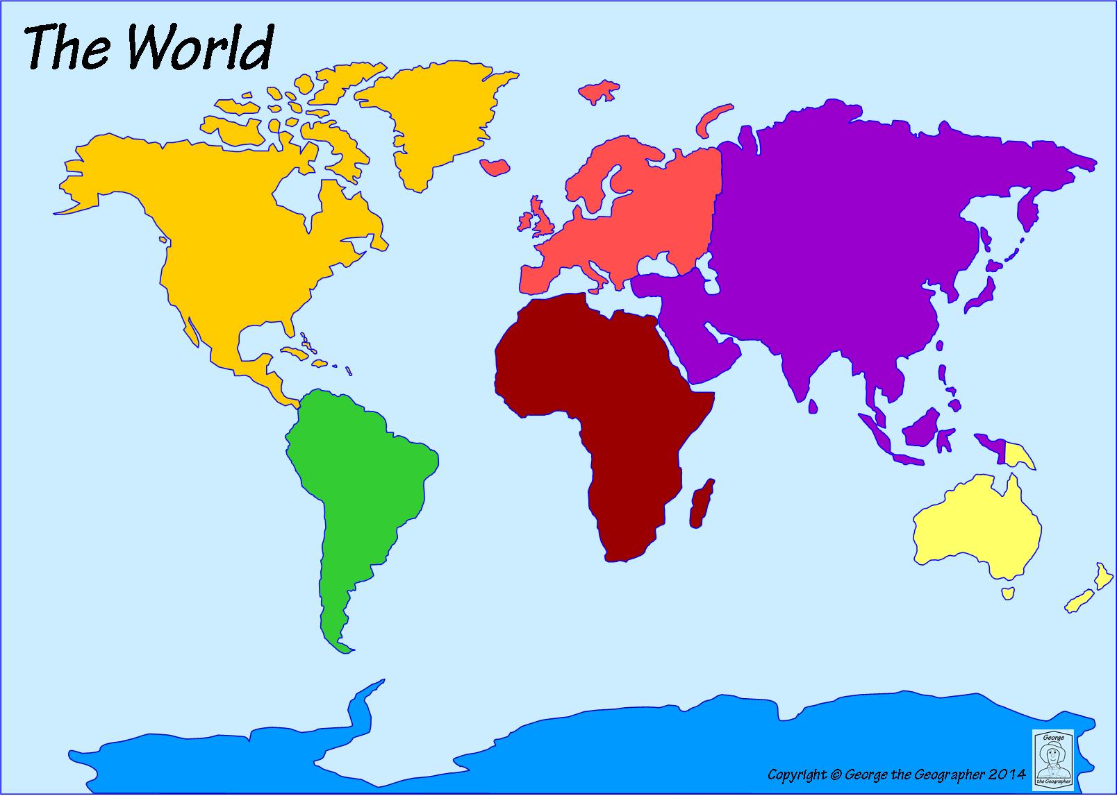
What is the name of the dark yellow continent?
South America
North America
Asia
Africa
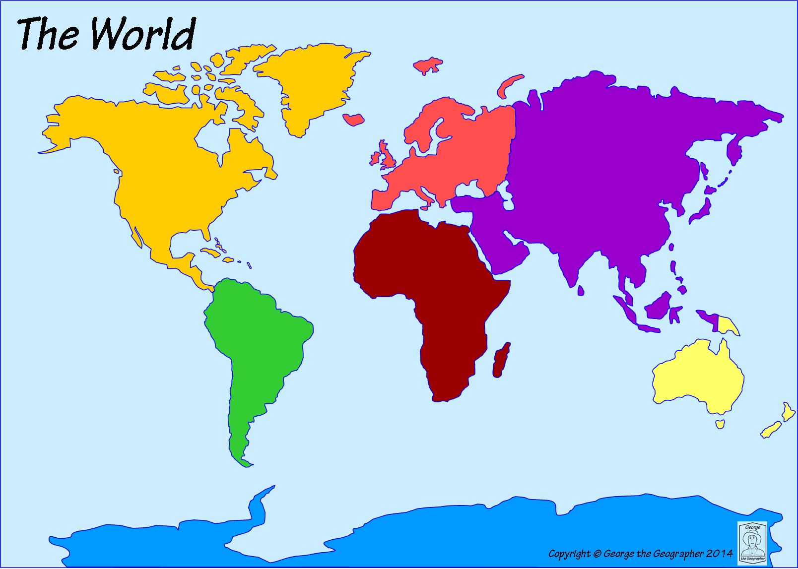
What continent is directly south of North America?
Australia
Europe
Africa
South America
What part of a map is a series of symbols or colors that help locate landmarks and infrastructure?
Scale Bar
Map Key
Compass Rose
What part of a map is used to find relative location using Cardinal and Intermediate Directions?
Map Key
Compass Rose
Scale Bar

What does the "N" on the compass rose stand for?
North
Napa
Norway
Nevada


What direction does the red X represent?
Northeast
Northwest
Southeast
Southwest


What is this?
A beautiful picture
A map key
Fire, trees, dots, hills
What is the purpose of a map scale?
to show the distance between places
to show where the next lake is
to tell you what the symbols on a map mean
to help you find south
Northwest, Southwest, Northeast, Southeast
Intermediate directions
cardinal directions
glossary
map key

BC is an abbreviation for ____.
Before Christ
Before Christmas
Before Church
Before Centuries
What is another name for 1600 C.E.?
1800 C.E.
600 B.C.
1600 B.C.E
1600 A.D.
Which year happened first?
1800 B.C.
765 B.C.E.
Which year happened most recently?
2005 C.E.
2005 B.C.E.

