
 Worksheets
Geo 9 Interactions With The Physical Environment
Total questions: 30
Worksheet time: 10mins
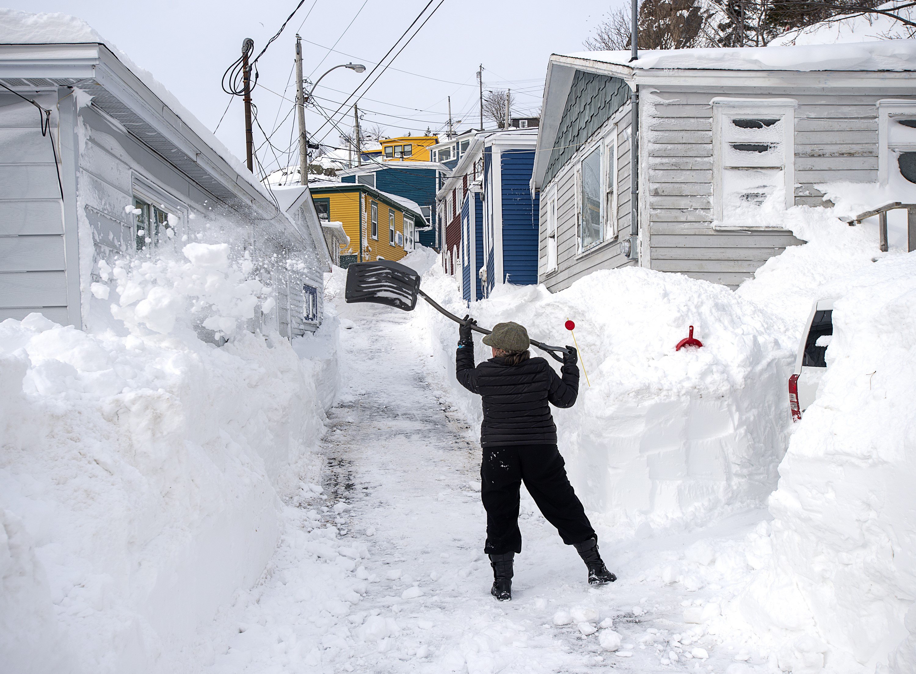
Which of the following cities is likely to have the most precipitation?
Toronto, Ontario
Calgary, Alberta
Vancouver, British Columbia
Iqaluit, Nunavut
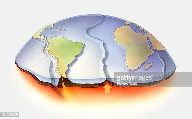
The Earth's crust is broken up into many large and small pieces that move, known as:
continental crusts
continental plates
tectonic plates
tectonic crusts
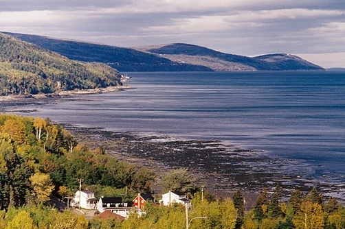
How were the St. Lawrence Lowlands formed?
The receding of Lake Sinclair
The faulting of tectonic plates
volcanic activity
The collapse of dome mountains
About 20% of the world's fresh water and 50% of Canada's population is in what region?
Interior Plains
Canadian Shield
Great Lakes-St. Lawrence Lowlands
Appalachians
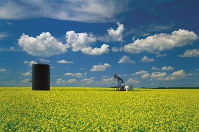
The Interior Plains have what kind of climate?
continental
maritime
modified continental
modified maritime
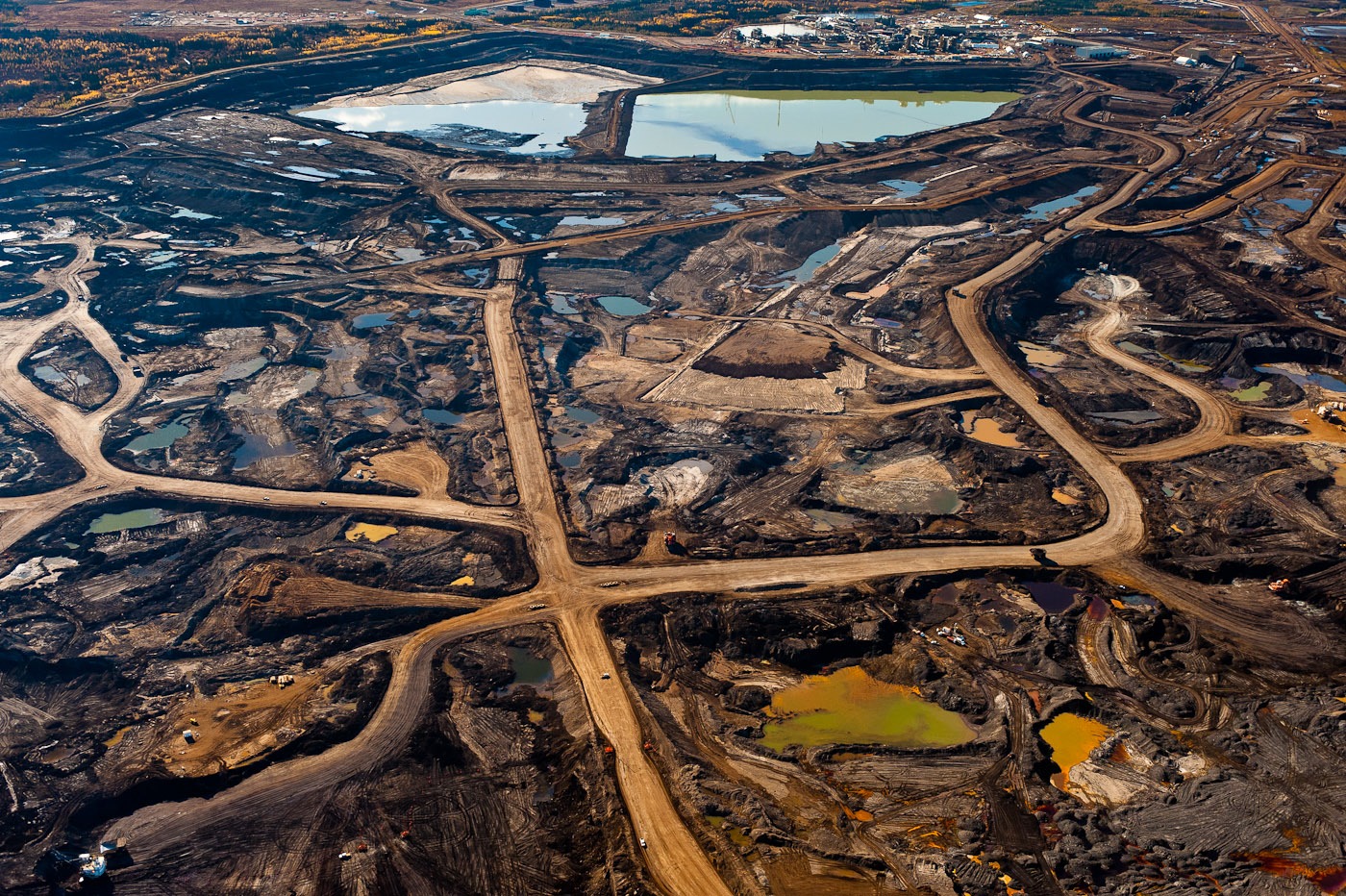
In which of these regions are fossil fuels most likely to be found?
Interior Plains
Canadian Shield
Appalachians
Innuitian Mountains
Which region has both mountain and maritime climates and is abundant in minerals and timber?
The Arctic
The Canadian Shield
The Western Cordillera
Hudson Bay Lowlands
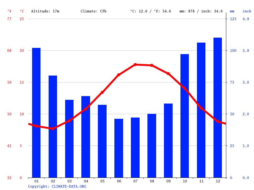
If a city gets most of it precipitation in the winter, we would classify its climate as:
continental
modified continental
modified maritime
maritime

The strength of the sun on a region is determined by which factor?
Elevation
Wind Systems
Latitude
Relief
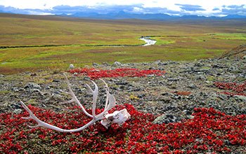
Tundra vegetation is found mainly in what physical region of Canada?
Appalachian Highlands
Arctic Lowlands
Western Cordillera
Interior Plains
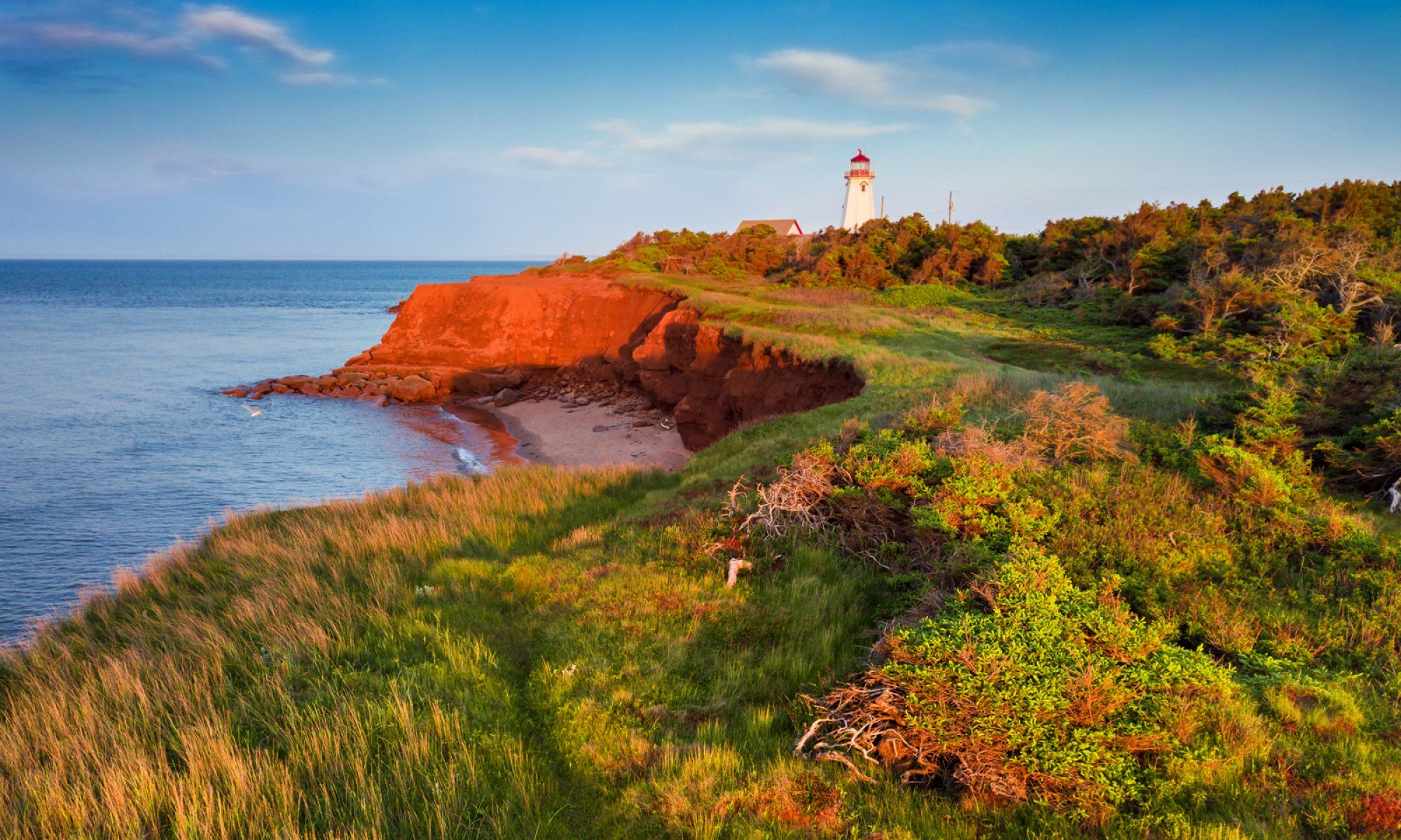
In what landform region is Prince Edward Island located?
Canadian Shield
Appalachian Mountains
Hudson Bay Lowlands
Western Cordillera
What factor is most responsible for cooling the west coast (BC) during the summer?
Pacific Ocean Currents
High Elevation
Rocky Mountain Relief
Northern Latitude
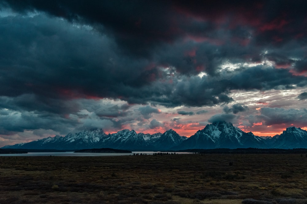
Mountains cause which type of precipitation?
Relief
Elevational
Convectional
Mountainous
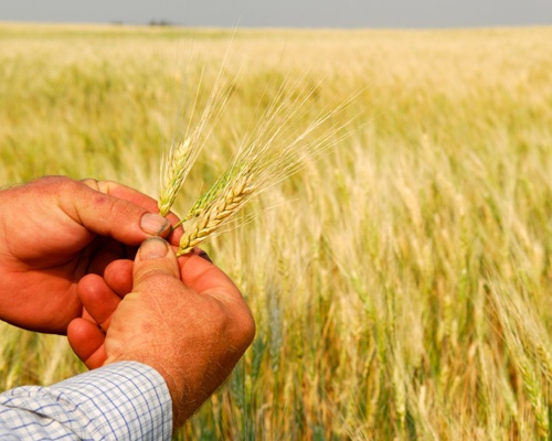
What region is known as "Canada's breadbasket"?
The Canadian Shield
The Appalachian Mountains
The Western Cordillera
The Interior Plains
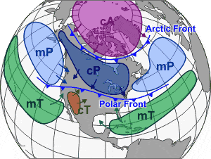
An air mass that is labelled as MT would be:
Mountain Tropical
Maritime Tropical
Mountain Temperature
Maritime Temperature
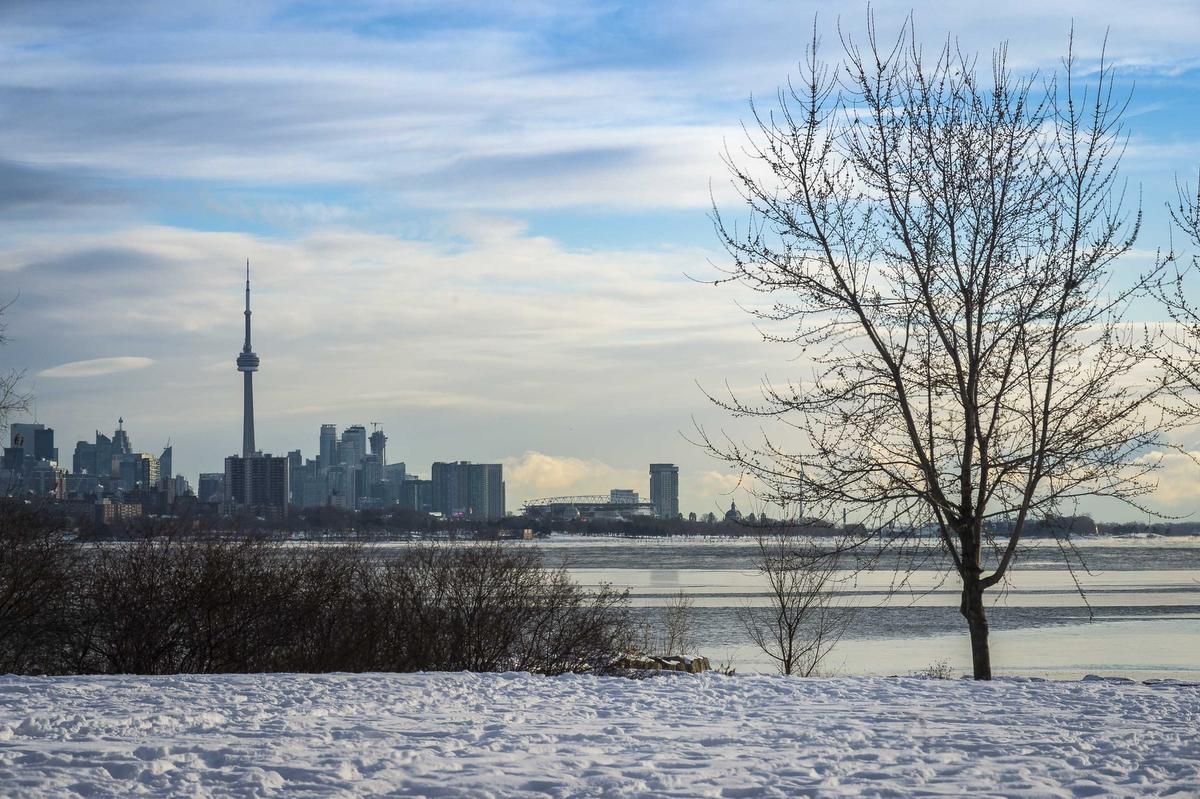
Unfrozen water does what to the surrounding air?
Cools it in the winter and warms it in the summer
Warms it in the winter and cools it in the summer
Cools it both in the summer and winter
Warms it both in the summer and winter
The continental climate zone is characterized by:
hot summers and cold winters
heavy precipitation
warm summers and mild winters
cool summers and warm winters
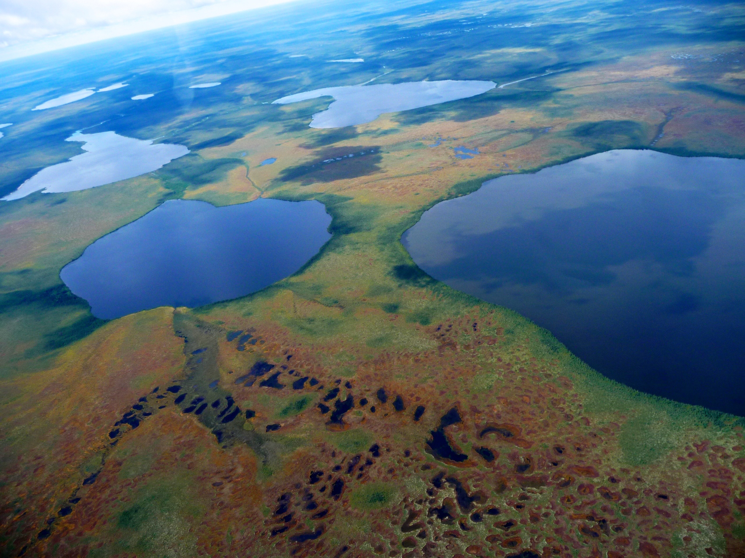
Which region consists of flat lowlands, a mix of tundra, and swamp forests?
Hudson Bay Lowlands
Arctic Lowlands
Appalachian Mountains
Great Lakes - St. Lawrence Lowlands
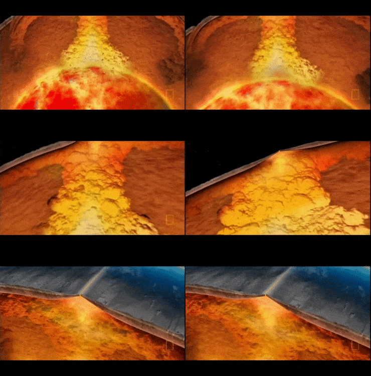
The entire cycle of heating occurring in the mantle which drives plate movements are called
compound currents
convection currents
high pressure fronts
fault lines
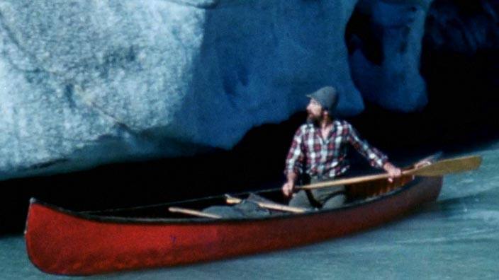
The Great Lakes are the result of
glaciation
folding
volcanic activity
differential erosion
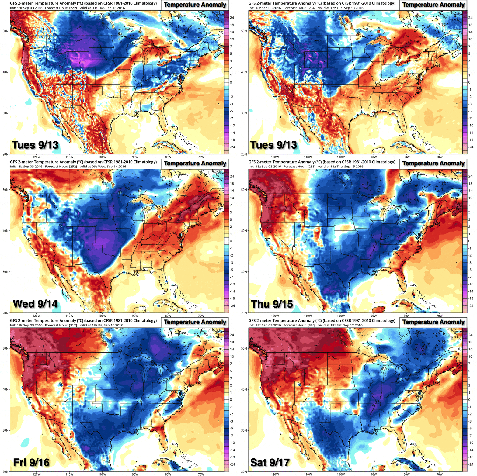
What is an Air Mass?
body of air with the same moisture & temperature conditions
Weight of air
Horizontal movement of air over Earth's surface, driven by pressure differences
The side of a mountain range that faces the prevailing wind
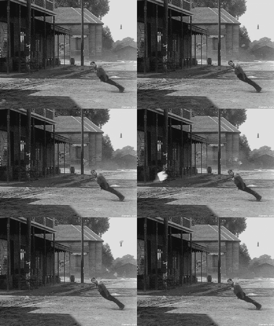
What are the prevailing winds called in Canada?
southerlies
northerlies
westerlies
easterlies
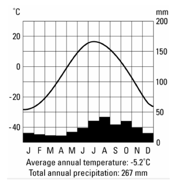
This climate graph is most likely to represent what city?
Halifax
Toronto
Vancouver
Yellowknife
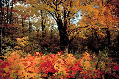
The area between two vegetation regions is called the
Tree Line
Transition Zone
Cut-Off Point
Modified Vegetation Region
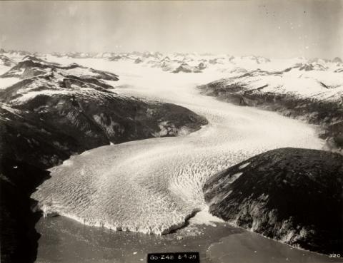
Glaciers eroded the coastal valleys in this landform region to create fjords
Appalachian mountains
Hudson Bay and Arctic Lowlands
Canadian Shield
Western Cordillera
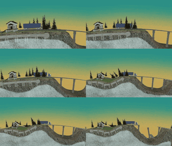
The ground layer of the Tundra that thaws in the warmer months is called the
Active Layer
Soil Horizon
Permafrost Zone
Thaw Layer
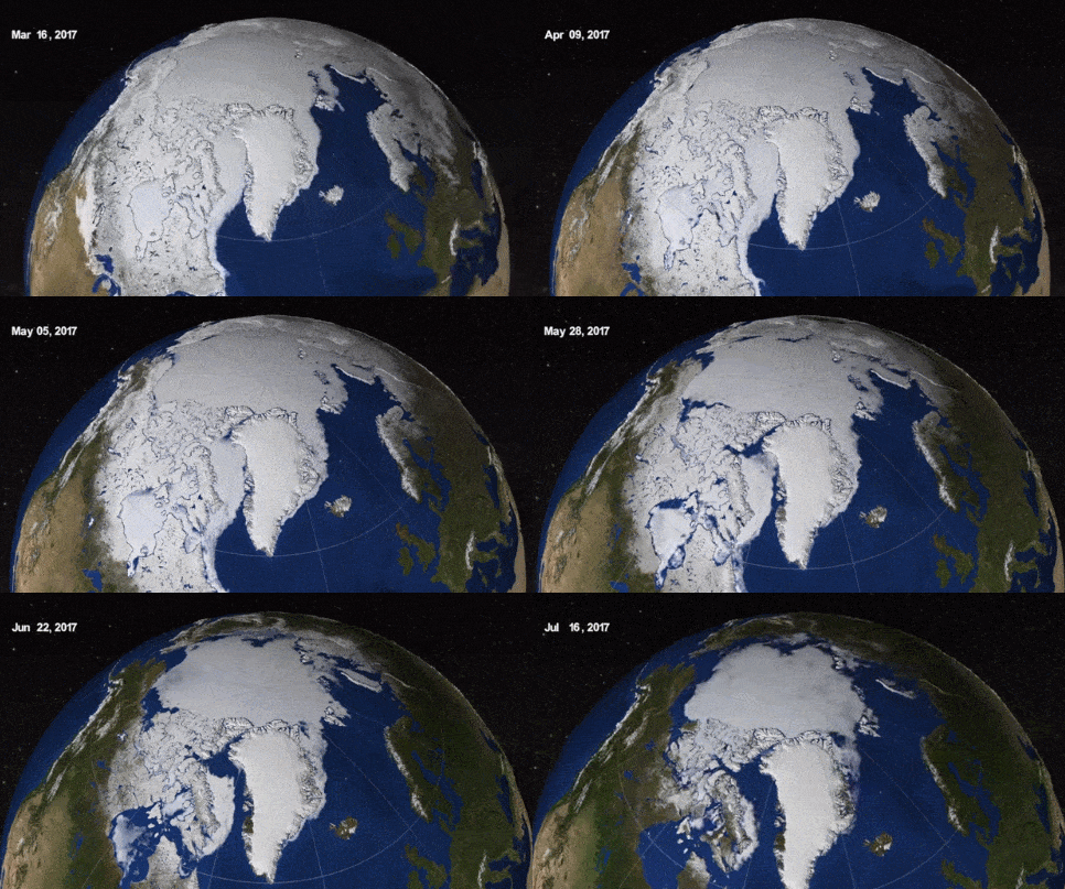
Tundra soils drain poorly and are waterlogged because
of air that is missing from the soil’s profile
the cool growing season limits plant growth
of the slow breakdown of organic materials into humus
the permafrost does not allow water to drain downward
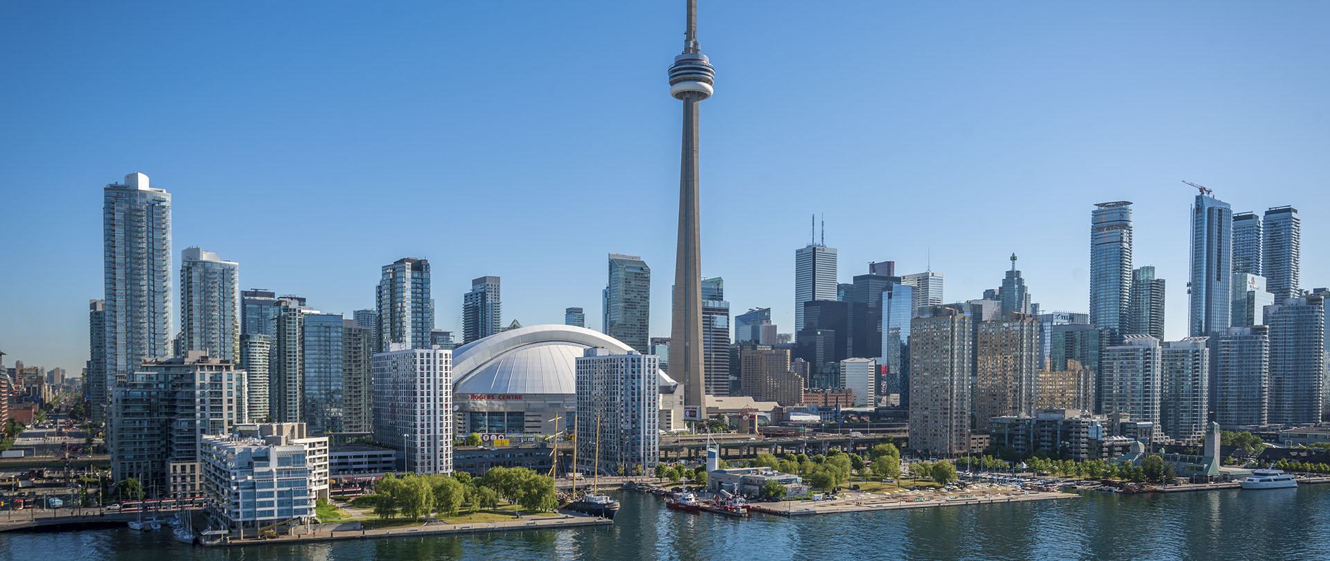
Toronto's climate is moderated due to
Nearness to water
Elevation
Latitude
Ocean currents
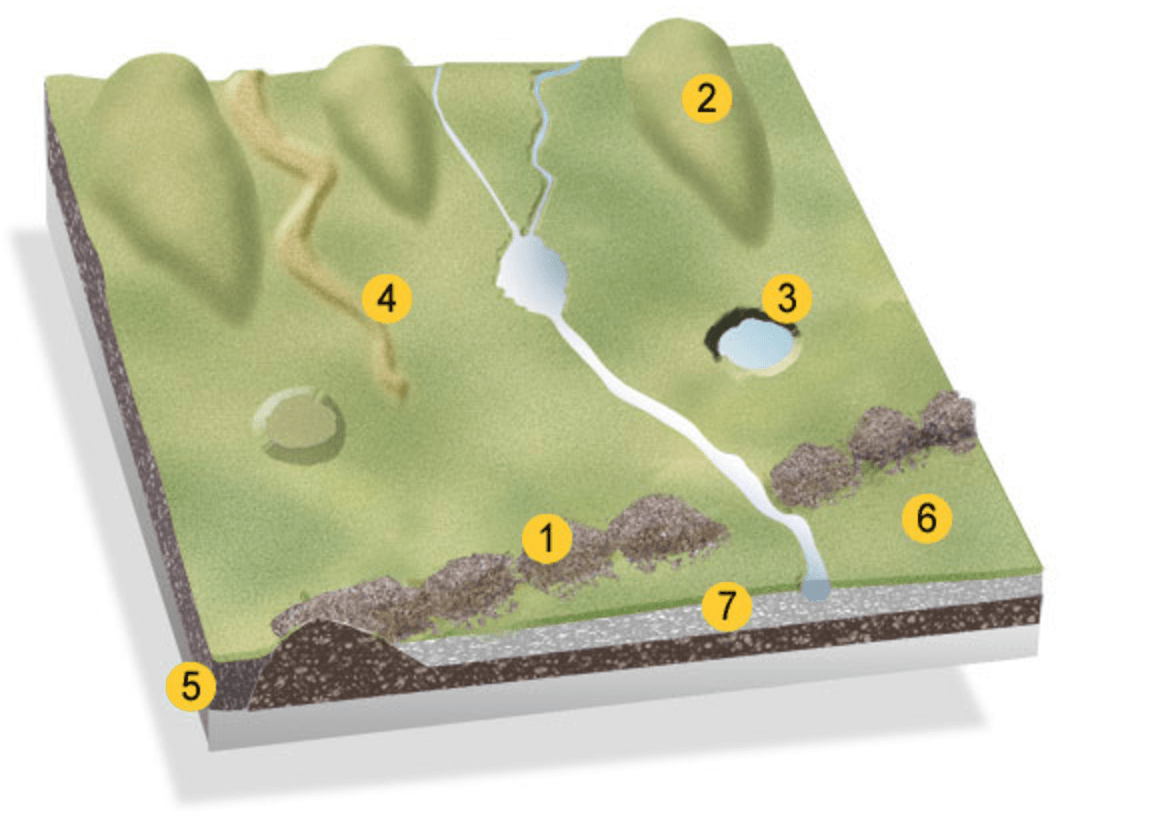
Identify the glacial feature on the landscape: #2
esker
kettle lake
drumlin
end moraine
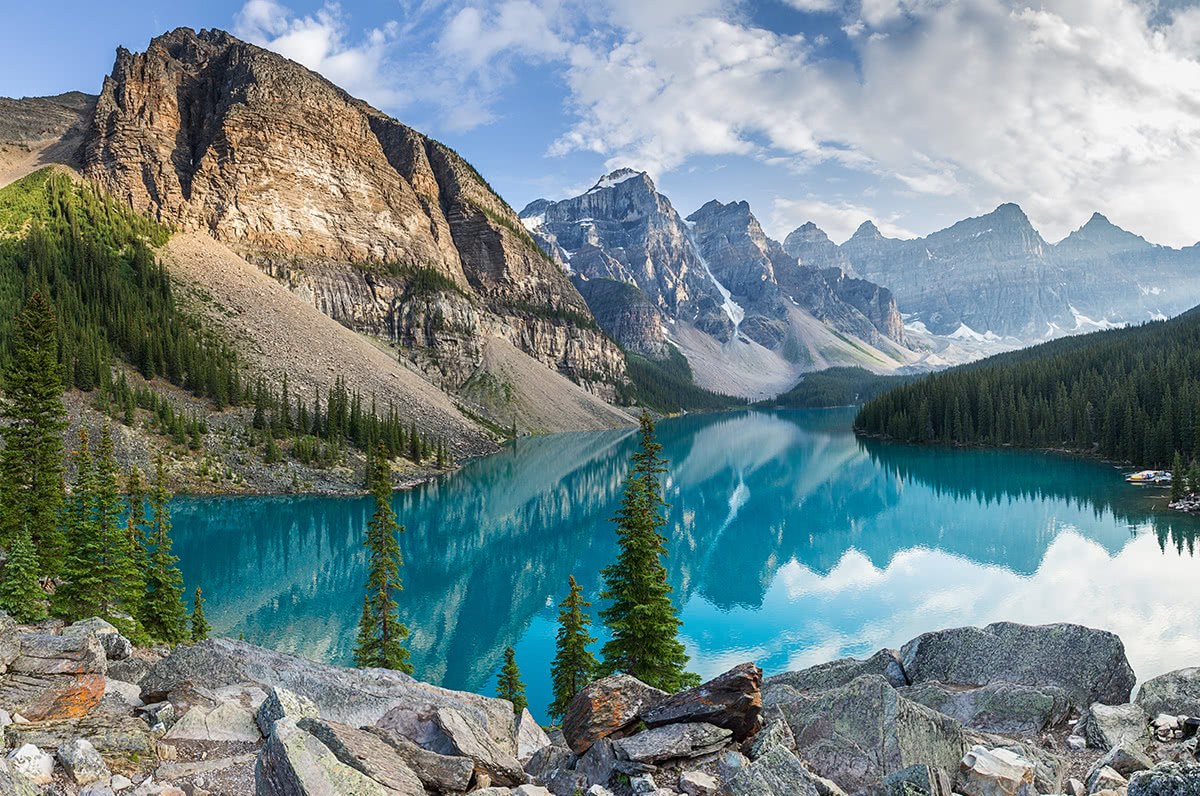
The physical regions of Canada were formed and shaped by:
glaciation
volcanic activity
plates pushing together to create fold mountains
All 3 processes

