
 Worksheets
Unit 3 Review: The World in Spatial Terms
Total questions: 12
Worksheet time: 9mins
Even the best maps have__________, or inaccuracies because it is hard to show something round on a flat surface.
Distortion
Dessert
Dinosaur
Geography

Major cities and capital cities noted on map
Click on the image on enlarge.
Physical Map
Political Map

What is the name of the object by number 4?
Click on the image on enlarge.

What is the arrow pointing to?
A compass rose
A map scale
A ruler
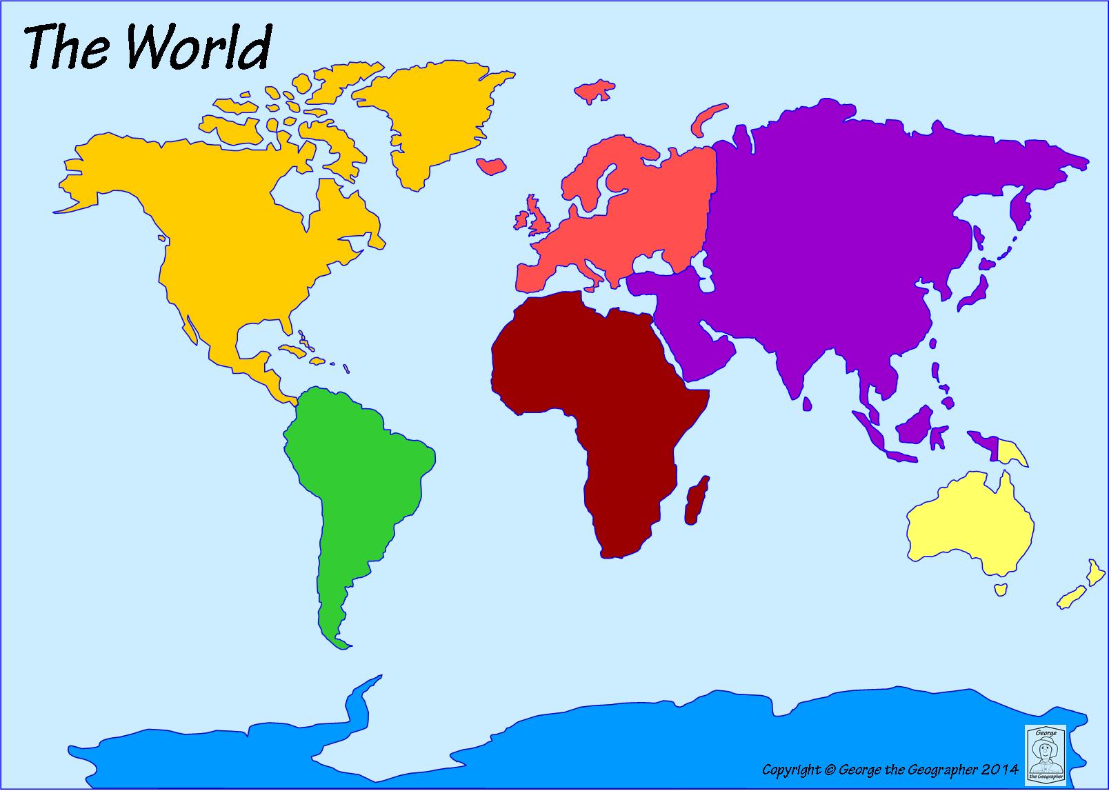
What is the name of the dark yellow continent?
Click on the image on enlarge.
South America
North America
Asia
Africa
What do we use map scales for?
To show how much a map weighs.
To measure distances on a map.
To show how much a state weighs.
To give someone directions.

If I wanted to travel from West Palm to Fort Lauderdale, which direction would I need to go?
Click on the image on enlarge.
North
East
West
South

This type of map shows landforms and bodies of water.
Click on the image on enlarge.
Physical Map
Political Map
Using the map below, circle the Central Region of the United States and put
a square around the Western Region.


According to the map, what is Florida most known for?
Click on the image on enlarge.
citrus
oil/gas
fishing
tourism
when something looks different than its real size and shape
political
distortion
physical
location

What is the region in red?
Click on the image on enlarge.
Midwest
Northeast
Southwest
West
Southeast

