
 Worksheets
Grade 6 Geography
Total questions: 32
Worksheet time: 17mins

What country is #1?
Colombia
Ecuador
Peru
Venezuela
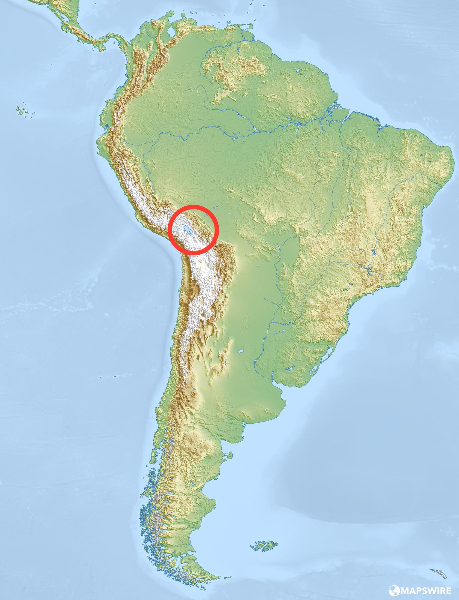
The large mountain range that runs through South America is called the...
Rocky Mountains
Appalachian Mountains
Andes Mountains
Alps
This South American landscape is called the Llanos.
mountains
marshlands
desert
grasslands
Angel Falls is the highest waterfall in the world. What country is it in?
Brazil
Venezuela
Bolivia
Colombia
What kind of activity are the Pampas ideal for?
Mountain Hiking
Skiing
Surfing
Farming

What is the major tropical rainforest in South America?
The Amazon Rainforest
The Tama Kinabalu Rainforest
The Valdivian Rainforest
The Hana Rainforest
El Yunque Rainforest

What river in South America is the world's 2nd longest and carries 20% of Earth's river water?
The Amazon River
The Orinoco River
El Rio de la Plata
The Parana River
The Paraguay River

What desert in South America is the world's driest hot desert?
The Atacama Desert
The McMurdo Dry Valleys
The Sonoran Desert
The Gobi Desert
The Sahara Desert

What sea borders South America to the north?
The Caribbean Sea
The Mediterranean Sea
The Gulf of Mexico
The Black Sea
The Dead Sea

What Ocean borders South America to the west?
The Pacific Ocean
The Atlantic Ocean
The Arctic Ocean
The Indian Ocean
The Southern Ocean
What Ocean borders South America to the east?
The Pacific Ocean
The Atlantic Ocean
The Arctic Ocean
The Indian Ocean
The Southern Ocean

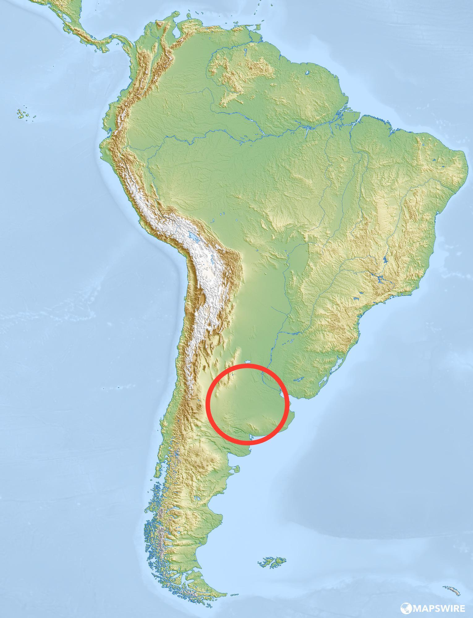
What warm, rainy, subtropical temperate plain in eastern Argentina, Uruguay, and southern Brazil is good for ranching cattle and farming crops?
Patagonia
Pampas
Altiplano
Llanos
Guyana

What major river flows through Venezuela?
The Orinoco
The Parana
The Amazon
El Rio da la Plata

What major peak of the Andes, at 22,837 feet above sea level, is the highest peak in South America, the Andes, the Western Hemisphere, the Southern Hemisphere, and anywhere outside of Asia?
Aconcagua
Denali
Sagarmatha
Pikes Peak

True of False
Angel Falls is located in Colombia.
True
False
What is the climate like over most of the Amazon River Basin?
hot and humid
hot and windy
hot and dry
humid and cold

What is the name of this physical feature?
Patagonia Highlands
Andes Mountains
Rocky Mountains
Brazilian Highlands
Which (native) group has been in the Amazon Rainforest the longest?
Settlers
Loggers
Indigenous
Politicians
South America is located between which 2 oceans?
Arctic and Atlantic
Indian and Pacific
Arctic and Indian
Atlantic and Pacific
The Andes Mountains are located on the ______________ side of South America
West
East
North
South

What modern, interior city is the capital of Brazil?
Brasilia
Buenos Aires
Montevideo
Sao Paula

Ecuador has islands that are known for all of the different animals living there called
Jalapagos Island
Malapagos Island
Galapagos Island
Shalapagos Island

Where does the Amazon River begin?
Pacific Ocean
Atlantic Ocean
A huge Lake
Mountains of Peru

What percent of the Earth's oxygen comes from the amazon rainforest?
5%
50%
20%
65%

What is marked by the blue line on this map?
Venezuela
Andes Mountains
Amazon River
Falkand Islands

What type of short term farming clears land by destroying and burning all the trees and plants on it?
Slash and Mash
Smash and Burn
Slash and Burn
Clear and Burn

