
 Worksheets
Gr 9 Grid Reference
Total questions: 35
Worksheet time: 17mins
Grid references are all of the following EXCEPT
Light Brown Lines found on a map used to show the height and shape of the land?
Numbered lines that run vertically [North/South] and horizontally [East West] on a map?
Used to find specific locations on a map?
Usually given as a 4-fig or 6-fig grid references?
Four-figure grid reference is found in the:
top left corner of a square
bottom left corner of a square
top right corner of a square
bottom right corner of a square
The horizontal lines in a grid are known as...
Eastings
Northings
What are the reference numbers that appear first in a grid reference?
Northings
Eastlings
Northlings
Eastings
The lines that run north to south in a grid are known as...
Eastings
Northings
Six-figured grid references should be divided into ___ parts.
10
5
7
12

What is the 4-figure Grid Reference (GR) for the caravan?
1632
1631
3116
1531

What is the 4-figure GR for the letter B?
1531
1432
1530
1431

What is the 4-figure GR for the letter D?
3117
173317
1731
1832

There are __basic elements of a map.
Two
Five
Six
Help in calculating the distance between two places on the map.
Title
North line
Scale
Explains signs ,symbols and colours used In the map.
Legend or key
Title
Grid
The true model of the earth.
Map
Atlas
Globe
A ___________ tells the reader what the map is illustrating.
title
symbols
labels
colors
On a compass rose, N, S, E, W are called the _____________
cardinal directions
intermediate directions
latitude
longitude
__________________ lines run parallel to the equator.
latitude
longitude
don't pick this one
wrong answer
Which of the following is a TRUE statement?
There are different kinds of globes depending on its purpose.
A map and globe are tools used to locate places on Earth.
A globe is a flat surface that represents the whole world.
Which of the following statement is TRUE about a map?
A map is the exact model of the world.
There is only one map - a political map.
A map is a flat representation of the world or a particular place.


What do we call the largest areas of land?
Islands
Peninsulas
Countries
Continents
The equator and the prime meridian are used to create the
Four Hemispheres
Regions
Continents
Oceans
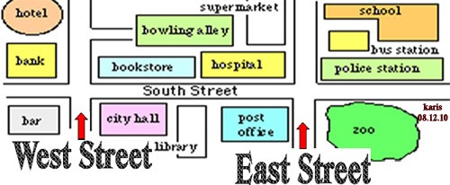



A grid can help us reproduce a simple drawing of a place.
TRUE
FALSE


What tool would you use to measure the distance between two places on a map?
key
legend
scale
grid

