
 Worksheets
Physical Geography of the U.S
Total questions: 20
Worksheet time: 10mins


What mountain range is located in the image?
Appalachian Mountains
Rocky Mountains
Sierra Nevada
Pacific Ranges

The red arrow is pointing towards which of the following physical features?
Mount McKinley
Alaska Range
Rocky Mountains
Appalachian Mountains

The red arrow is pointing to which of the following physical features?
Appalachian Mountains
Mississippi River
Rio Grande River
Rocky Mountains

What river is located in the image?
The Rio Grande River
The Missouri River
The Mississippi River
Yukon River

What physical feature is shown in the image?
The Great Plains
The Rocky Mountains
The Great Lakes
Dead Valley
What is the most northern country in North America?
Russia
United States
Canada
Greenland
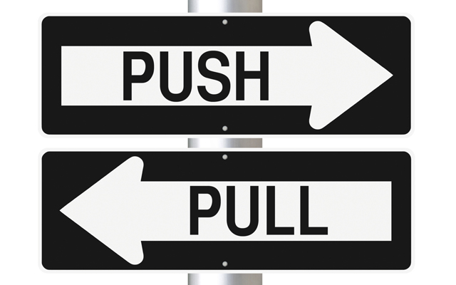
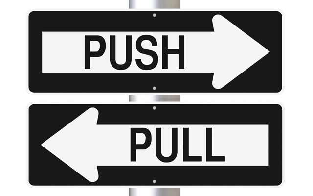
Which of the following is not a PULL Factor?
Entertainment/ Leisure
Freedom
Wealth
Poverty
Which two physical features do the United States and Canada share?
Appalachian Mountains and Mississippi River
Mississippi River and Rocky Mountains
Mississippi River and the Great Lakes
Rocky Mountains and the Great Lakes

Which number on the map is the Great Lakes?
7
8
9
10

Which number on the map is the Great Plains?
2
3
4
5

Which number on the map is the Rocky Mountains?
1
4
5
6
The Great Lakes border the United States and Mexico
True
False
Which body of water borders the United States and Canada?
Bering Straits
Hudson Bay
Rio Grande River
The Great Lakes
Canada has 10 provinces and three territories
True
False

Which area of land is showing in the picture?
(a)

Which area of land is showing in the picture?
(a)
Most cities in Canada are located near
Arctic Circle
United States
Atlantic Ocean
St. Lawrence Seaway

