wayground logo

Free Printable Worksheets

NEW

Font size

S
M
L
XL
Worksheets

World Geography Unit 1 Test

Total questions: 20

Worksheet time: 44mins

Name
Class
Date
1.

What is this symbol called?

a)

Compass

b)

Compass Rose

c)

Map

d)

Map Scale

2.

What is this called?

a)

Compass Rose

b)

Map Key

c)

Map Scale

d)

Compass

3.
What is a map scale?
a)
a tool to measure distance
b)
a tool to tell direction
c)
a tool to start a fire
d)
a tool to build a house
4.

What city is located closest to 70'W and 40'N?

a)

Denver

b)

Niagra Fallas

c)

Boston

d)

Houston

5.

What is the name of the imaginary line that runs from east to west, and separates the Northern and Southern Hemispheres?

a)

Equator

b)

Prime Meridian

c)

Longitude

d)

Latitude

6.

What is the name of the imaginary line on the globe that runs north to south, and separates the Eastern and Western Hemispheres?

a)

Equator

b)

Prime Meridian

c)

Latitude

d)

Longitude

7.

Identify this map

a)

Population map

b)

Elevation Map

c)

Physical Map

d)

Political Map

8.

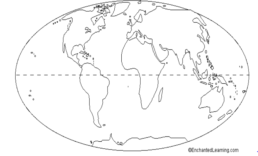
This map is an example of a . . .

a)

Political Map

b)

Physical Map

9.
Measures distance from the equator. These lines run east and west and measure north and south.
a)
Cardinal Directions
b)
Latitude Lines
c)
Longitude Lines
d)
Intermediate Directions
10.
__________ directions are northeast, southeast, southwest, and northwest.
a)
Latitude
b)
Cardinal
c)
Intermediate
d)
Longitudinal
11.
__________ measures distance from the Prime Meridian.  These imaginary lines run from the north pole to the south pole.  These lines run north and south and measure east or wes
a)
Latitude 
b)
Longitude
c)
Lines
d)
Equator
12.
The __________ directions are north, east, south, and west.
a)
cardinal
b)
intermediate
c)
map
d)
most imprtant
13.
 This type of map shows governmental boundaries of countries, states, and/or counties.  It sometimes includes cities, roads, and significant bodies of water.
a)
Physical
b)
Political
c)
Product
d)
Map
14.

The equator breaks the Earth into what two hemispheres?

a)

Eastern and Southern

b)

Northern and Southern

15.

The Prime Meridian separates the Earth into what two hemispheres?

a)

Northern and Southern

b)

Western and Eastern

16.

Hemisphere is ...

a)

The study of the earth and how we, the people who live there, interact with it.

b)

A region created when the Earth is divided in half.

c)

An imaginary line going across the center of the earth.

17.

Geography is...

a)

The study of Earth and how we, the people who live there, interact with it.

b)

The study of Earth and its atmosphere.

c)

The study of rocks, minerals, and all physical attributes of Earth

18.

Earth has SEVEN great bodies of land. They are called _____

a)

global grids

b)

hemispheres

c)

continents

d)

equator

19.
Using lines of latitude and longitude to find an exact location is...
a)
Absolute Location
b)
Relative Location
c)
Prime Meridian
d)
Place
20.
Relative location is...
a)
how to get to a place
b)
finding the location of a place by describing its location from another place
c)
not a real thing
d)
exactly where something is located