
 Worksheets
Central America & the Caribbean Quiz
Total questions: 15
Worksheet time: 8mins

peninsula
isthmus
archipelago
plateau

Central Plateau
Ring of Fire
Southern Highlands
Yucatán Peninsula

True
False
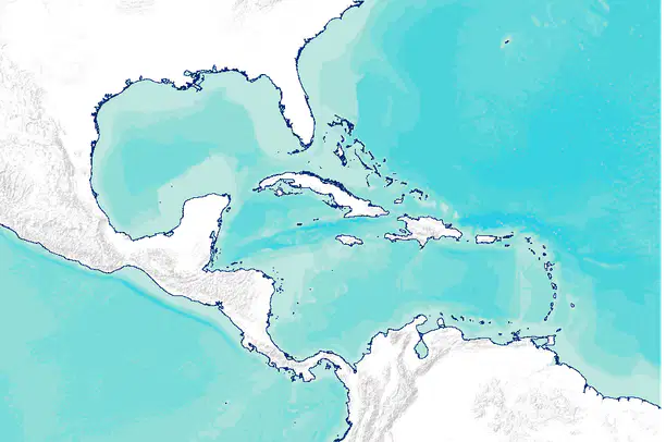
Rio Bravo del Norte and the Caribbean Sea
Gulf of Mexico and the Caribbean Sea
Lake Nicaragua and the Rio Grande
Rio Grande and the Gulf of Mexico
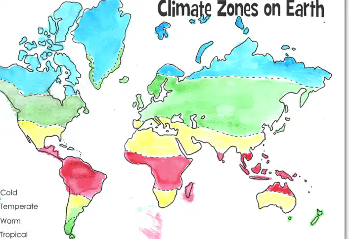
In which climate zone does most of Central America, and the Caribbean lie?
high mountain
humid temperate
desert
tropical
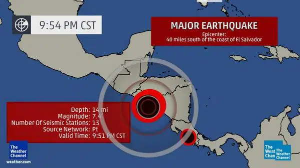
its location between two large continents
the movement of tectonic plates
a tropical hot and humid climate
poor soil within the rain forest

a volcanic mountain strip
a narrow strip connecting two large land areas
a chain of islands
a landform that supports the region's economy

What effect does Central America's location on top of moving tectonic plates have on the region?
a warm tropical climate
many earthquakes and volcanoes
high ocean waves
erosion of beaches on islands

rich soil in mountains
rare birds in the rain forests
beautiful beaches
tourism to witness eruptions

selling plants from the rain forest
making furniture and metal goods
growing crops and hosting tourists
manufacturing boats and catching fish
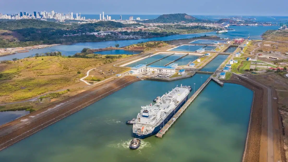
to help Panama gain independence
to provide work and money for Panama's citizens
to wipe out mosquitoes in the area
to shorten the trip from the Atlantic to the Pacific
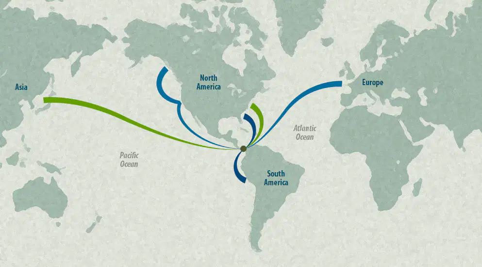
up the Amazon River
through the Suez Canal
around South America
across the Great Lakes

Sierra Madre Occidental
Yucatán Peninsula
Central Plateau
Sierra Madre Oriental
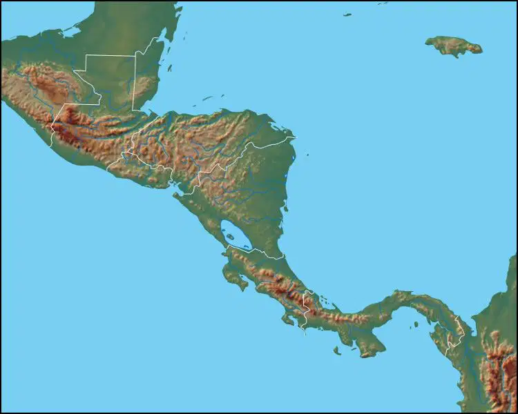
plateaus, coastal plains, hills
mountains, coastal plains, rainforest
valleys, deserts, rainforest
deserts, mountains, coastal plains
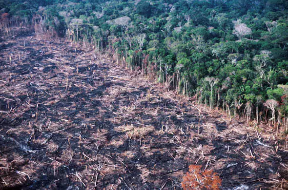
What causes deforestation of the rain forests in the region?
Tourists pollute the rain forests
People clear areas for farmland and use trees for wood
Loose farm animals damage the trees
Ash from volcanic eruptions covers and destroys the forest.

