
 Worksheets
Meso & South America Map Review
Total questions: 31
Worksheet time: 15mins

Which of the following is the world's largest river AND is located in South America?
Nile River in Egypt
Mississippi River in the United States
Amazon River in Brazil
St Lawrence River in the United States

Which of the following is one of the driest places on earth AND is located in South America?
Atacama Desert in Chile
Sahara Desert in Egypt
Sonoran Desert in the United States
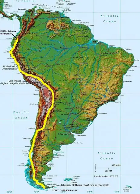
Which of the following is the earth's longest mountain range on land AND is located in South America?
Rocky Mountains in the United States
Andes Mountains in Chile and Argentina
The Alps in Germany and Switzerland
The Himalayas in India and China
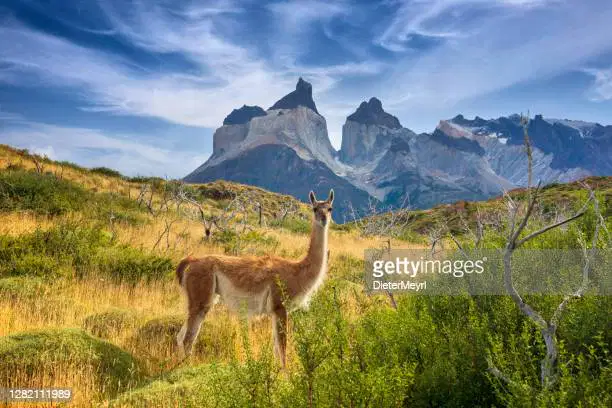
Which of the following is a COLD desert/scrubland in South America.
Atacama Desert in Chile
Patagonian Desert in Argentina
Sonoran Desert in the United States
The Sahara Desert in Egypt
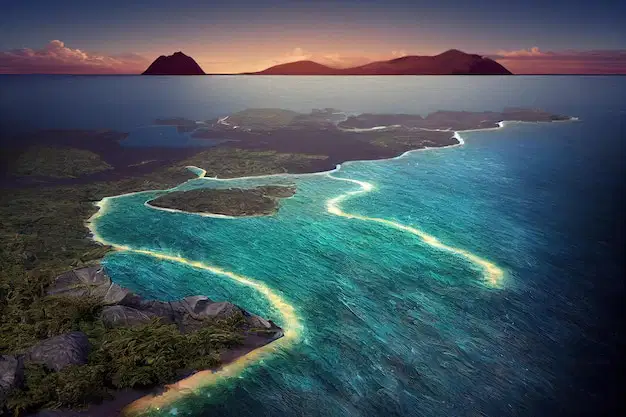
Which of the following is a group of islands that inspired Charles Darwin to come up with the theory of evolution AND is located near South America?
Galapagos Islands
Hawaiian Islands
Caribbean Islands

Which of the following is the largest tropical rainforest in the world AND is located in South America?
Everglades in Florida
Amazon Rainforest in Brazil
Big Island Rainforest in Hawaii

Which two oceans is the continent of South America between?
Indian and Atlantic
Arctic and Atlantic
Pacific and Atlantic

What water body is letter A?
Pacific Ocean
Arctic Ocean
Atlantic Ocean
Indian Ocian

What water body is E?
Pacific Ocean
Arctic Ocean
Atlantic Ocean
Indian Ocean

Which water body is D?
Caribbean Sea
Mediterranean Sea
Hudson Bay
Gulf of Mexico
What country in South America is closest to the Galapagos Islands?
Spain
South America
Ecuador
North America

What physical feature does A represent?
Amazon River
Andes
Paraguay River
Tierra de Fuego

Lake Titicaca borders Peru and which other country?
Brazil
Chile
Bolivia
Argentina
What physical feature does B represent?
Amazon River
Andes
Paraguay River
Tierra de Fuego

What is the country in red?
Peru
Brazil
Suriname
Venezuela

What is the country in red?
Brazil
Spain
Ecuador
Argentina

What is the country in red?
Haiti
Suriname
Brazil
Peru

What is the country in red?
Ecuador
Guyana
Argentina
Belize

GULF OF MEXICO
PAMPAS
AMAZON RIVER
ISTHMUS OF PANAMA

BRAZILIAN HIGHLANDS
LAKE TITICACA
PAMPAS
YUCATAN PENINSULA

ISTHMUS OF PANAMA
YUCATAN PENINSULA
ATACAMA DESERT
RIO GRANDE

BRAZILIAN HIGHLANDS
GULF OF MEXICO
SIERRA MADRE OCCIDENTAL
ANDES MOUNTAINS

PAMPAS
ISTHMUS OF PANAMA
BRAZILIAN HIGHLANDS
CAPE HORN

YUCATAN PENINSULA
BRAZILIAN HIGHLANDS
MEXICAN PLATEAU
ISTHMUS OF PANAMA

What is the name of the island chain that Argentina and Chile split control over?
Falkland Islands
Tierra del Fuego
Galapagos Islands

What country is this?
Canada
Greenland
Mexico
United States

The world's largest wetland
Pampas
Pantanal
Patagonia

The world's tallest waterfall (cateract)
Angel Falls
Victoria Falls
Niagra Falls

(Click to hide text)

(Click to hide text)

Which country is located at 1?
Brazil
Venezuela
Peru
Argentina

