Worksheets
Physical map of America
Total questions: 28
Worksheet time: 20mins

St. Lawrence River
Mississippi River
Ohio River

Great Lakes
Appalachian Mountains
Gulf of Mexico

Missouri River
Ohio River
Red River

Mississippi River
Arkansas River

St. Lawrence River
Appalachian Mountains

Brazos River
Rio Grande River
Arkansas River

Appalachian Mountains
Yukon River
Columbia River

A major river of the western United States and northwest Mexico. In North America it flows through the Grand Canyon.
Colorado River
Columbia River
Missouri River
Rio Grande River

Hudson Bay
St. Lawrence River
Ohio River

United States of America
Mexico

What is the name of the body of water labeled number 1?
Gulf of Mexico
Hudson Bay
Mississippi River
Great Lakes

Which feature is this?
Colorado River
Missouri River
Columbia River
Yukon River

Highest mountain range in South America
Rocky Mountains
Andes
Appalachian Mountains
Sierra Madre

What is location 16 on the map?
Atlantic Ocean
Caribbean Sea
Gulf of Mexico
Pacific Ocean
What is location 19 on the map?
Atlantic Ocean
Caribbean Sea
Gulf of Mexico
Pacific Ocean


What the waterway near the southern tip of South America called?
Panama Canal
Tierra del Fuego
Strait of Magellan
Cape Horn
What is location 1 on the map?
Andes Mountains
Baja Peninsula/California
Amazon Basin/Rainforest
Yucatan Peninsula
What is location 5 on the map?
Atacama Desert
Baja Peninsula/California
Amazon Basin/Rainforest
Yucatan Peninsula


What Is The Area Between Mexico And The Peninsula?
Gulf Of California
Patagonia
Orinoco River
Atlantic Ocean

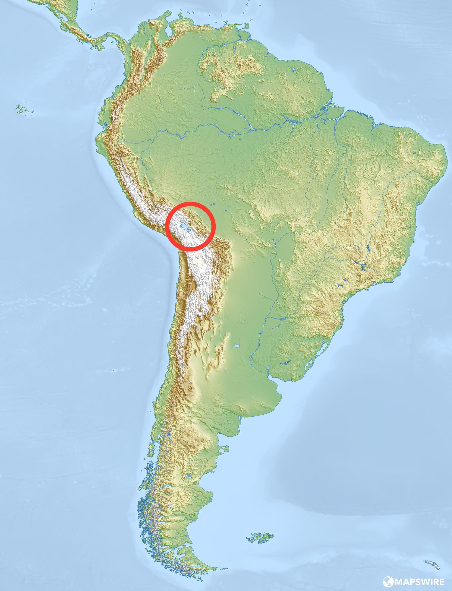
What is the following Latin America Physical Feature?
Caribbean Sea
Amazon River
Atlantic Ocean
Andes Mountains

What is the following Latin America Physical Feature?
Caribbean Sea
Pampas
Sierra Madre Mountains
Andes Mountains