
 Worksheets
Maps
Total questions: 7
Worksheet time: 4mins
Name
Class
Date
1.
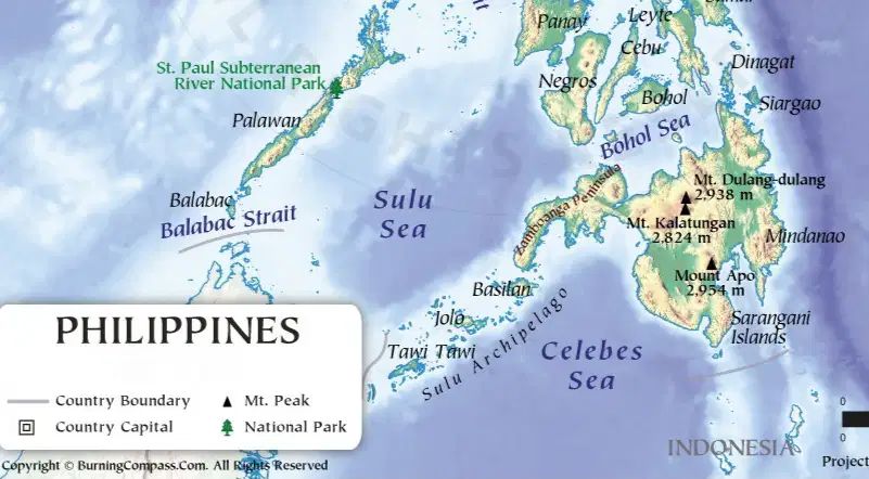
It shows features of a place or country, like rivers, mountains, forests, and lakes.
a)
Political
b)
Physical
c)
Topographic
d)
Climatic
2.

It shows the state and national boundaries of a place.
a)
Political
b)
Economic
c)
Road
d)
Climatic
3.

It shows the information about the climate of different areas.
a)
Scale
b)
Topographic
c)
Hydrology
d)
Climatic
4.
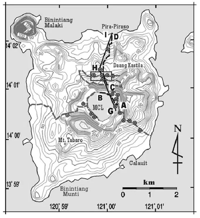
It shows elevation and changes in landscape are shown with the help of contour lines and colors.
a)
Contour
b)
Environmental
c)
Topographic
d)
Scale
5.
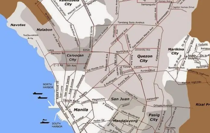
It is the most widely used map which shows different roads, highways or railways present in the area.
a)
Transportation
b)
Road
c)
Infrastructure
d)
Navigation
6.
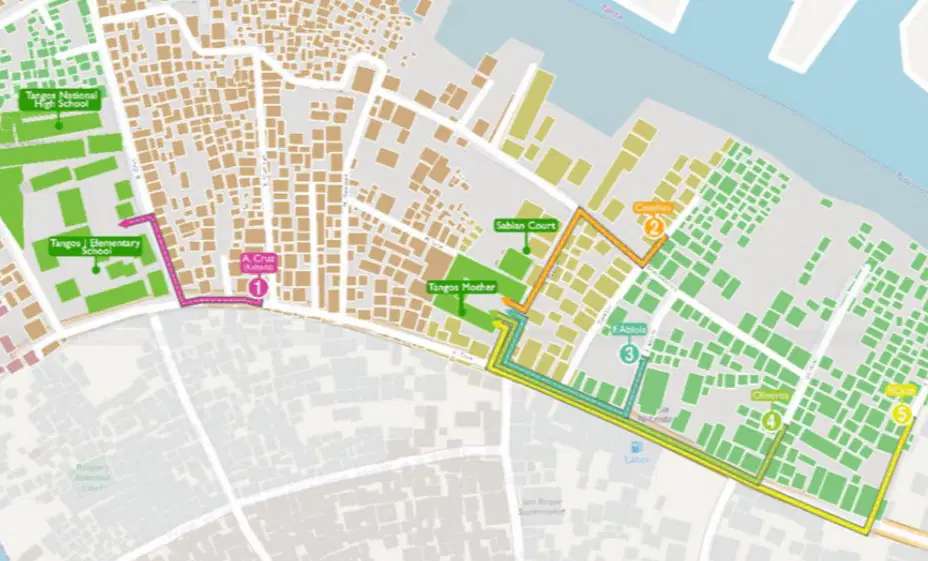
It shows show the different location of evacuation sites and routes.
a)
Land use
b)
Evacuation sites
c)
Evacuation Path
d)
Route
7.

What are these?
a)
Longitude
b)
Latitude
c)
Equator
d)
Prime meridian
100 %

