
 Worksheets
World Geo Unit 1 Review
Total questions: 25
Worksheet time: 49mins

The line in red is on the -
Tropic Cancer
Equator
Tropic Capircorn
Arctic Circle

What is the farthest distance you can get from the equator? (North and South)
600 miles
14000 kilometers
180 degrees
90 degrees

North America is located entirely in the -
Northwest Hemisphere
Northeast Hemisphere
Southwest Hemisphere
Southeast Hemisphere

33.2 degrees N, 97.1 degrees W would be an example of Denton's
Absolute Place
Physical Place
Relative Location
Absolute Location
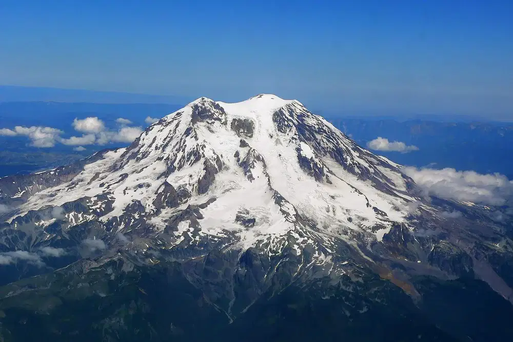
Mt. Rainier is 14,411 feet above sea level. This is an example of -
Absolute Place
Human Environment Interaction
Elevation Map
Physical place
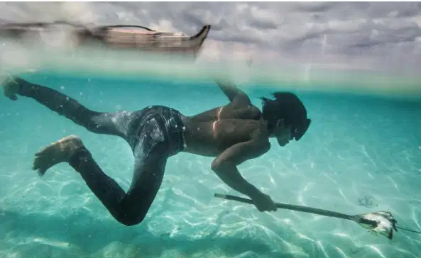
A group of people in the Philippines can hold their breath for 10+ minutes. This is an example of -
Humans adapting to their environment.
Humans changing the environment.
Humans depending on the environment.
None of the above
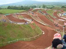
This motocross track is an example of -
Humans adapting to their environment.
Humans changing the environment.
Humans depending on the environment.
None of the above

Infrastructure is an important component of a -
Perceptual Region
Formal Region
Functional Region
Stereotype

The stereotypes about a region are part of the region's -
Perceptual Region
Functional Region
Formal Region
None of the above
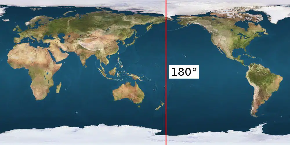
The furthest you can get from the prime meridian is -
90 degrees
120 degrees
180 degrees
525600 miles
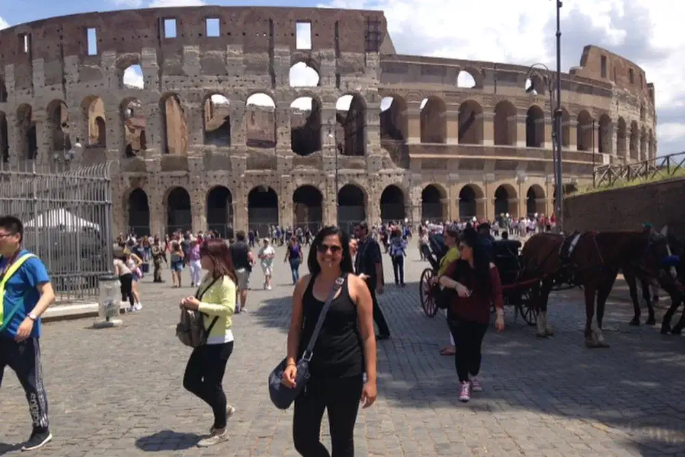
The Roman Coliseum is an example of -
Cultural Place
Human environment interactions.
Physical Place
Formal Region
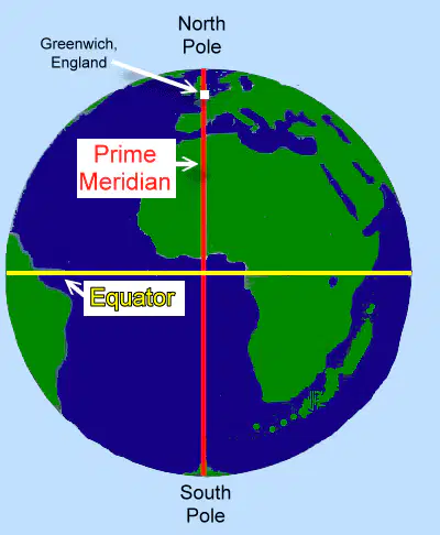
The Prime Meridian runs through -
Chicago, Illinois
Greenwich, England
Paris, France
Manila, Philippines

The pup is waiting for adoption at the shelter. The time it takes for this to circulate and get her adopted is -
Linear Distance
Temporal Distance
Physical Movement
Environment Movement

The map to the left is an example of a -
Political Map
Resource Map
Thematic Map
Physical Map

This is an example of a -
Resource Map
Historical Map
Thematic Map
Physical Map
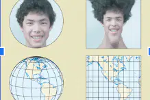
This distortion shows you the distortion of -
The Globe
The Mercator Projection
The Gall Peters Projection
The Robinson Projection
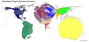
A map in which information has been substituted for land area or distance is called a -
Political map
Resource Map
Cartogram
Elevation Map
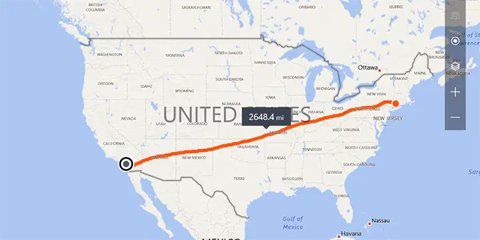
The image to the left shows an example of -
Linear Movement
Temporal Movement
Physical Movement
Temporal Distance

The red line to the left represents the -
Tropic of Capricorn
Arctic Circle
Antarctic Circle
Tropic of Cancer
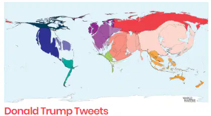
According to this image, which nation does Donald Trump tweet about the least?
Mexico
Russia
Australia
China

On a Mercator Map Projection, the countries become more distorted closer to the -
Equator
Prime Meridian
North Pole
Tropic of Cancer
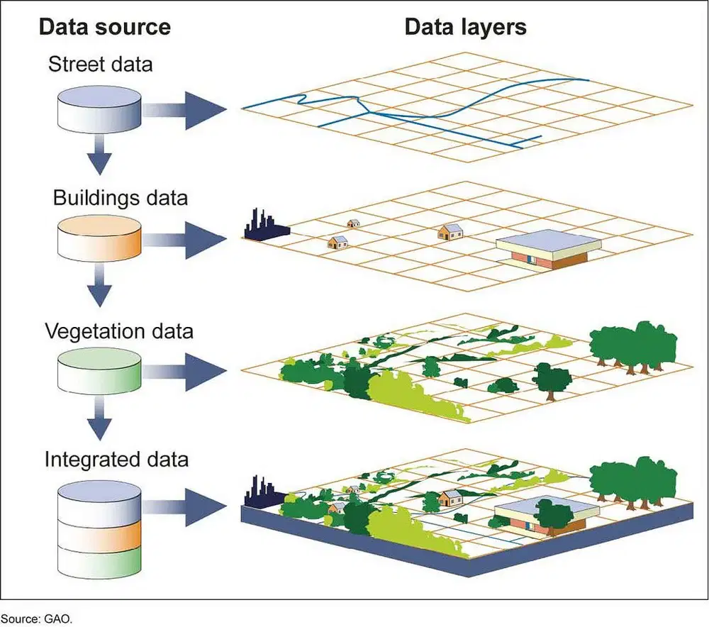
Geographic Information systems are useful for all of the following except -
Gathering Data
Managing Data
Changing Data
Analyzing Data
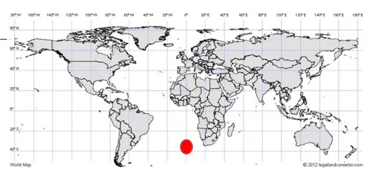
The red dot is located on -
The Equator
The Prime Meridian
The Antarctic Circle
The Tropic of Canceer

The map to the left is an example of a -
Political Map
Physical Map
Elevation map
Thematic Map

Natural barriers like mountains and oceans most likely cause -
Humans act similarly on both sides of the land form.
Humans to develop separate customs.
Humans to develop the same languages on both sides of the land form.
None of the above

