
 Worksheets
Unit 2 United States and Canada
Total questions: 12
Worksheet time: 23mins

What major mountain range in located in the Western part of North America?
Great Smoky Mountains
Rocky Mountains
Appalachian Mountains
Franklin Mountains
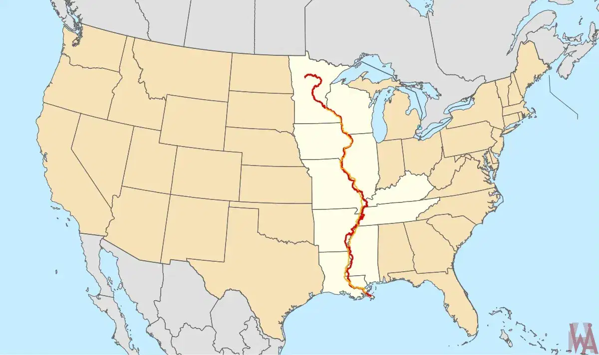
What is the second longest river in North America?
Rio Grande
Mississippi River
Missouri River
Colorado River
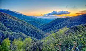
What major mountain range is located in the Eastern side of North America?
Rocky Mountains
Sandia Mountains
Sierra Nevada Mountains
Appalachian Mountains

What type of map is this?
Topographical map
U.S. map
Political map
World map

Which of these tells you how to measure distances on a map?
Symbol
Scale
Key
Compass

Which mountain range is shown here?
Rocky mountains
Appalachian mountains
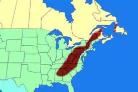
What mountain range is show here?
Appalachians
Rockys
The Rio Grande River is on the boundary of the United States and _______.
Russia
Mexico
Canada
China

What bodies of water are shown here:
Great Hudson bay
Gulf of Canada
Great lakes
Bear pools
Canada has:
A President and governor
A chancellor and emperor
King Charles III and prime minister
Draw me a mental map of U.S. and Canada

While the United States of America has states, Canada also has states.
True
False

