
 Worksheets
Map Skills Review
Total questions: 54
Worksheet time: 1hrs 4mins
What type of map focuses on landforms such as rivers, mountains, and deserts?
political
physical
What type of map shows different elevations in water and on land?
political
physical
What type of map focuses on borders between states?
political
physical
What type of map shows cities and towns within a certain state?
political
physical

This map is an example of a _____ map.
political
physical

This map is an example of a ____ map.
political
physical

This map is an example of a ___ map.
political
physical

This map is an example of a ____ map.
political
physical
Vocabulary Matching
map scale
shows distance on map VS real life
compass rose
shows the cardinal directions on a map
Dylan wants to find out what countries are located in Asia. What type of map should Dylan use?
political
physical
Ava wants to find the highest mountain range in North America. Which type of map should Ava use?
political
physical

Shows the directions on a map.
compass rose
scale
key

Shows the distances.
compass rose
key
scale

Explains the pictures on a map.
border
scale
key
Which answer shows all of
the Intermediate Directions?
Southwest
Which answer is not a Cardinal
direction?
get lost, to help us get from one
place to another, and so we know
where we are.
use for cardinal and intermediate
directions?

United States.
direction?
Northeast.


What direction is indicated by the number 6?
north
east
south
west

Vocabulary Matching
latitude
imaginary line that runs east and west
longitude
imaginary line that runs north and south
global grid
crisscrossing lines on a map
prime meridian
line that runs north and south at 0°
equator
line that runs east and west at 0°
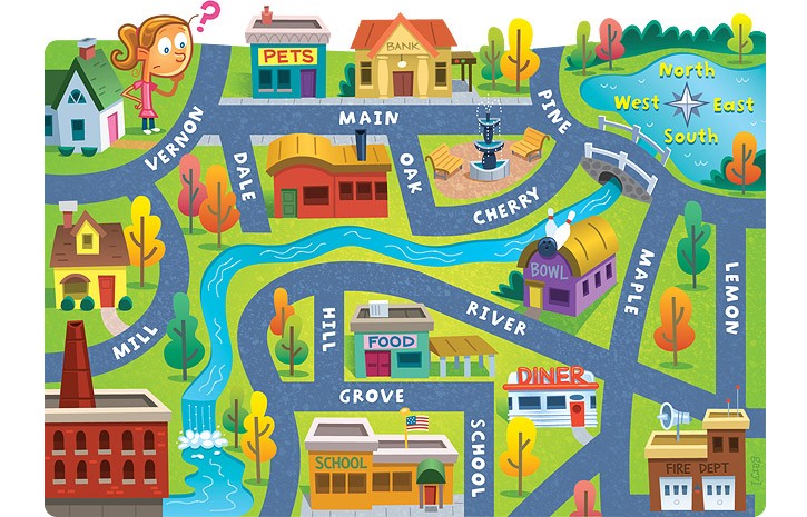


What does a map key show?
directions
things that are located on a map by symbols.
how far places are from one another

Using the map, key, and cardinal directions... The library is _______ of the school.
North
East
South
West
Using the map, key, and cardinal directions... The farm is _______ of the park on Great Circle.
Northeast
Southwest
Southeast
Northwest

On the following map, what do the grey triangles represent?
Sources of fuel
Gold mines
Areas where precious gems can be found
Areas where nonmetals can be found

On the map the circles, triangles, and squares are all examples of:
Legends
Keys
Roses
Symbols

Map scales are used to measure _____________.
direction
distance
symbols
decimals
What is the best way to measure the distance between two places on a map?
a straight line, the shortest distance
a curvy line, a longer distance

What is the name for the imaginary lines that run east to west, like you see in this picture?
latitude
longitude

What is the name for the imaginary lines that run north to south, like you see in this picture?
latitude
longitude
What unit are latitude/longitude coordinates measured in?
feet
miles
degrees
centimeters

Find the red dot. What are its lat/long coordinates?
40° N, 100° W
80° N, 50° E
100° N, 40° W
60°S, 120° E

Find the red dot. What are its lat/long coordinates?
40° S, 60° W
40° N, 60° E
60° N, 40° E
0°, 80° E

Which hemisphere is highlighted in blue?
Western
Eastern
Southern

Which hemisphere is highlighted in blue?
Southern
Northern
Western

Which hemisphere is highlighted in blue?
Northern
Southern
Western

Which hemisphere is shown above the equator?
Eastern Hemisphere
Western Hemisphere
Northern Hemisphere


Southwest

According to this map, what is the capital of Texas?
Austin
Dallas
Waco
Houston

Is this statement true or false? The red arrow is pointing to the map key.
True
False
a picture that shows the features of an area of the Earth or sky
map
picture
land
symbol

What is this?
a compass
a compass rose
a map key
a map scale
Match the vocabulary words
map
a drawing of all or part of the Earth
political map
a map that shows boundaries
physical map
a map that shows the earth’s features
Match the vocabulary words
compass rose
symbol that displays directions
cardinal directions
the four main directions on a compass
intermediate directions
the four directions halfway between

