
NEW
Font size
 Worksheets
Carto Quiz No 4
Total questions: 13
Worksheet time: 5mins

Who is the person credited with introducing visual variables in the context of visual perception and cartographic design?
Donald Trump
Rafizi Ramli
Kenneth Field
Jacques Bertin
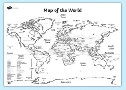
What is the primary reason for using different font sizes in map labels?
Aesthetic appeal
Representing the importance or hierarchy of features
To save space
Random variation
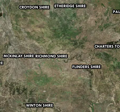
What is the primary purpose of using the halo technique in map labeling?
To decorate the map with colorful text outlines.
To make labels stand out against complex or busy backgrounds.
To group labels by their geographic region.
To highlight the labels of major cities only.
What is the preferred color model for screen viewing
RGB
HSV
DSV
CMYK
Which color scheme is most appropriate for representing population density on a choropleth map?
Diverging
Qualitative
l
Sequential
Categorical
What is the purpose of using a grid system in map design?
To provide a reference for locating features
To enhance the artistic quality of the map
To simplify the color palette used
To reduce the overall size of the map
What is the most effective thematic mapping technique for representing the spatial distribution of COVID-19 cases?
Choropleth
Dot Density
Graduated Proportional Symbol
Quantiles
The purpose of a basemap in a web map is to:
Provide spatial context
Store attribute data
Display charts and graphs
Show legend information
“I decide whether a hospital is blue, red, big or small on the map.”
Basemap
Symbology
Legend
Pan button
Which element allows users to switch map layers on and off?
Title
Scale bar
Layer control
North arrow

Can you name the location marked as X on the map?
Teluk Cempedak
Teluk Intan
Teluk Kemang
Teluk Batik
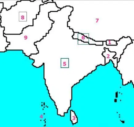
Which country is the number "9"?
Bhutan
Nepal
Pakistan
Afghanistan

