
NEW
Font size
 Worksheets
WORLD AXIS MARITIME
Total questions: 25
Worksheet time: 13mins
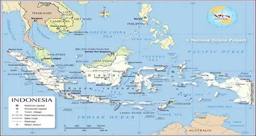
Indonesia in astronomical position especially Latitude expand from ...
Indonesia, based on astronomical position, located from .......... to ......... longitude
The northest island of Indonesia teritory is ....
Indonesian teritorial sea expands ..... from baseline
Which statement is true regarding to ALKI (Alur Laut Kepulauan Indonesia) or Indonesia Archipelagos Sea Lane?
Which ALKI route that serve the transportation in Sunda strait?

ALKI 2 serves the route of this following strait :
Strait of Sunda
Strait of Malacca
Strait of Karimata
Strait of Bali
Strait of Makassar

Economic Exclusive Zone (ZEE) on the picture is marked with ......
A
B
C
D
E

Underwater National Park which located in the yellow area is ...
Ujung kulon
Meru betiri
Way Kambas
Wakatobi
Bunaken
Maritime agriculture is a huge potential resources for Indonesia. Below is the example of maritime agriculture product ....


A narrow sea between two islands is called ...
gulf
swamp
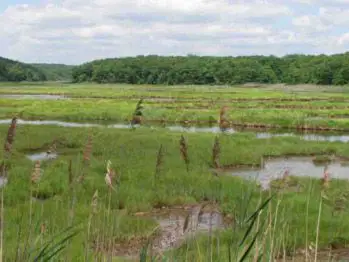
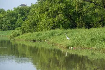
Prevent the tsunami, filtering the water, bio-habitat, carbon dioxide absorber are functions of ...


Tol Laut (Sea Toll) is a lane for ....
Train and Ship
Plane and Ship
Car and Ship
Pedicab and Ship
Bicycle and Ship
Raja Ampat is known for its beautiful sea and scenery. It is recognized as the home of the largest coral reef biodiversity in the world. With more than 550 distinct varieties of coral, 700 different kinds of mollusks, and 1427 different species of fish, it is a significant center for marine biodiversity. Seventy-five percent of all known coral species may be found in the seas around the Raja Ampat Islands, which are home to some of the world's most diverse species. Where is the location of Raja Ampat?
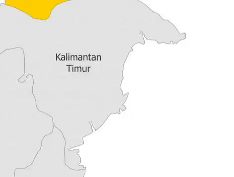
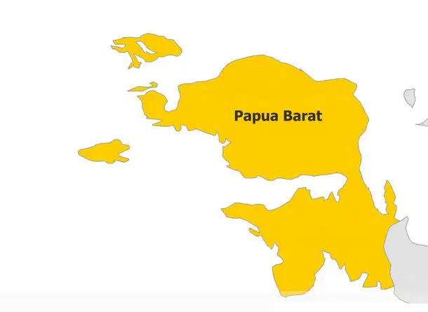
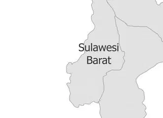

Energy resources from the ocean are ....
Coal
Radioactive
Solar
Geothermal
Waves and current
In Indonesia history, there was a maritime empire ruled the South East Asia in 7th century.
This mineral is found in the ocean and one of the main important raw material for development of Singapore reclamation.
Seasand
Coral
This Minister used to be famous in the law enforcement in Indonesia regarding to the illegal fishing by drowning the thief ship by explosion.
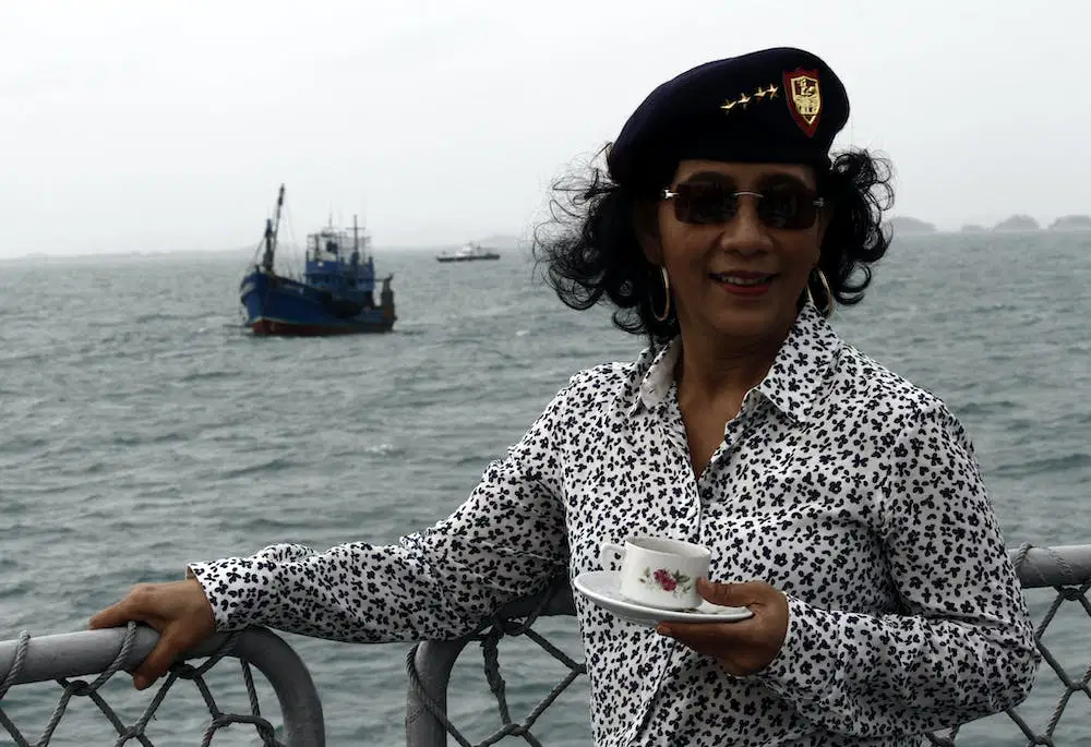



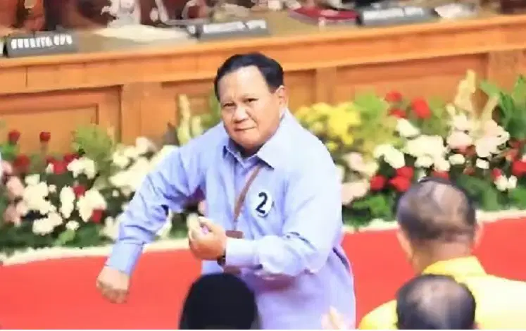
Government Department or Ministry in Indonesia which managing the Ocean and Fisheries subject is


Indonesia is on the cross road of world most busy route which connecting two large oceans:
Indian and Pacific
Pacific and Atlantic
Arctic and Atlantic
Arctic and Antartica
Indian and Atlantic
An international agreement that establishes a legal framework for all marine and maritime activities under the United Nation is....
In 1957, Indonesia Government proposed the law in defining the teritory of Indonesia from outer Island, inisiated by ....
Ir. H. Juanda
Ir. Soekarno
Ir. Joko Widodo
Ir. Soetami
Ir. Soelardi
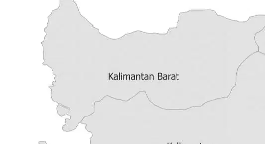
Between Kalimantan and Sumatra we find ....... strait
Lombok
Natuna
Bali
Karimata
Sunda
Indonesia is located between two major tectonic plates, the Australian Plate and the newly-separated Sunda Plate. This statement is based on ....... position.
geological location
Which technology is most efficient to manage and surveillance Indonesian Maritime teritory?

