
Font size
 Worksheets
GIS Training Day Intro Questions
Total questions: 11
Worksheet time: 5mins
What does GIS stand for?
Geographic Input Software
Gosh I'm Stumped
Geometric Information Systems
Geographic Information Systems
In one or two words, what do you think GIS analysts do? Do not say Google Maps! Tony if you say Google Maps, I swear you will not be allowed to talk for the rest of this session.
What field do GIS professionals work in?
Planning
Emergency Operations
Aviation
Environmental Research
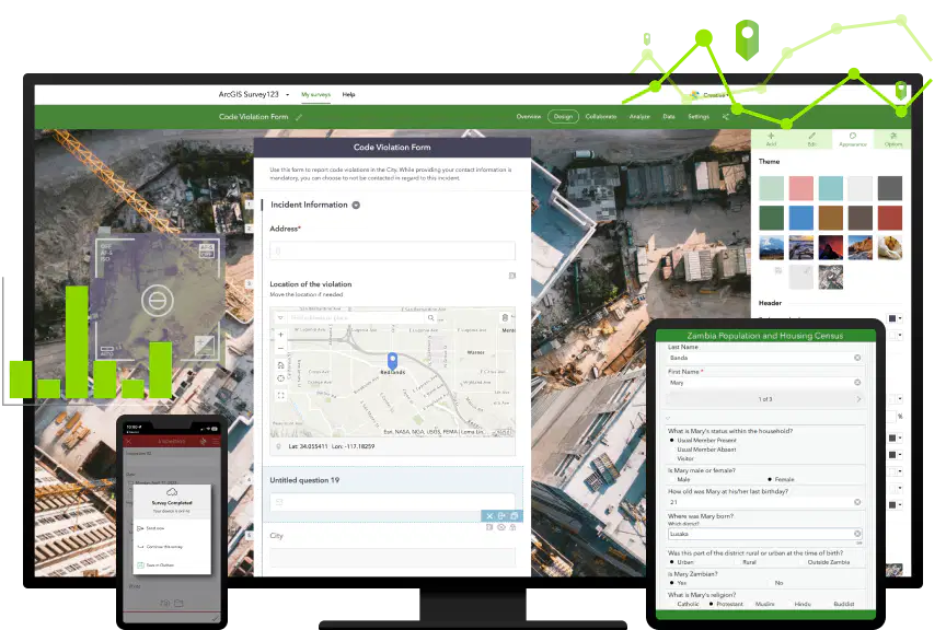
Who is most likely to use ArcGIS Survey123 on a regular/daily basis?
City Executives
Field Crews
IT Help Desk
GIS Analysts

What GIS jobs does Bobby have a major role in?
Addressing
CIPACE
Stormwater Management
ArcGIS Server Management
Who can get an ArcGIS Online account?
GIS analysts only
Field crew workers and GIS analysts only
Any city employee with an active city email address
Any resident of the city
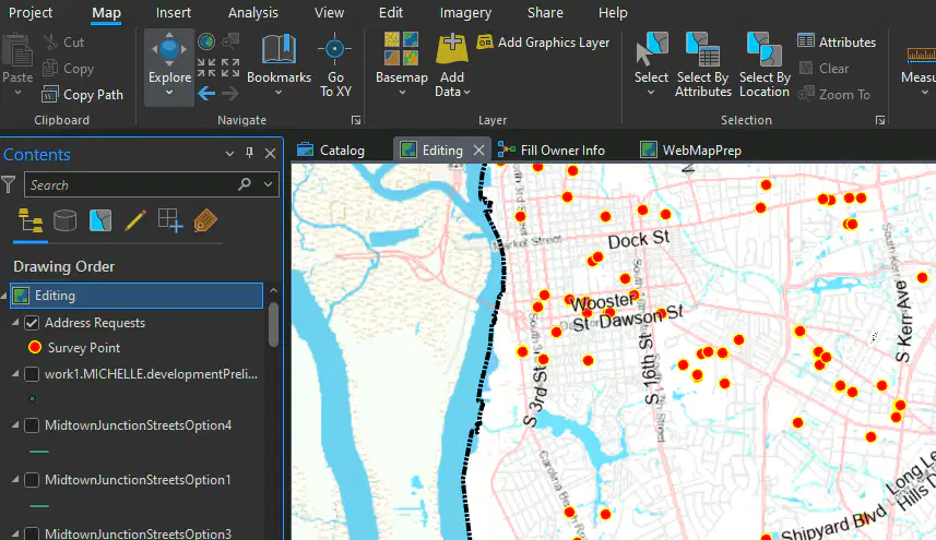
What GIS tool is being used in the picture?
ArcGIS Pro
ArcGIS Survey123
ArcGIS Dashboard
ArcGIS Field Maps
Point, line, and polygon data such as addresses, roads, and boundaries is classified as ____. Continuous/pixelated data such as imagery is referred to as ____.
raster data; vector data
shape data; blended data
vector data; raster data
blended data; shape data
Which of these is NOT an essential item in a map?
North Arrow
Map Author
Legend
Scale Bar
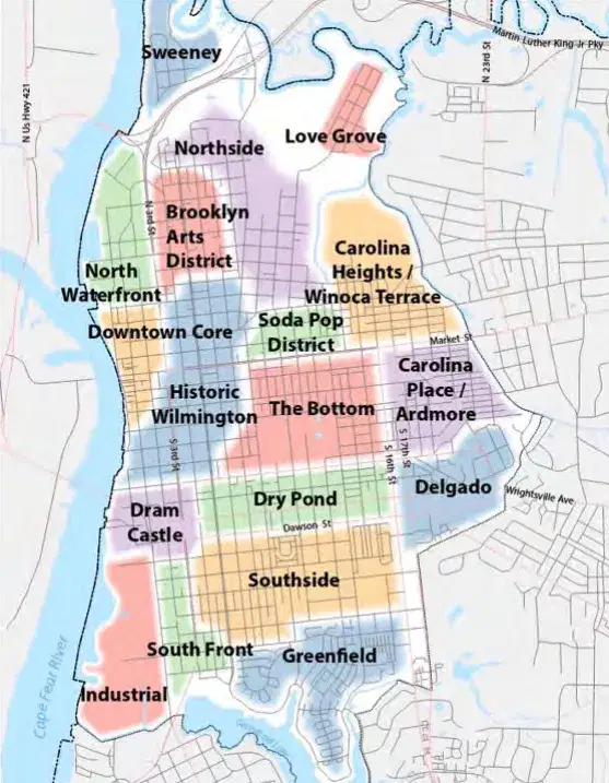
What is your favorite area of downtown Wilmington?

What is your favorite fictional map?
Middle Earth
Westeros & Essos
Star Wars Galaxy
Narnia

