
 Worksheets
Social Studies Unit 1 TEST
Total questions: 20
Worksheet time: 20mins
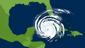
Which region of Texas could be most affected by hurricanes?
Mountains and Basins
Great Plains
Central Plains
Coastal Plains
All of the following are ways that Texans make a living EXCEPT:
ranching/farming
commercial fishing
snow skiing
oil industry
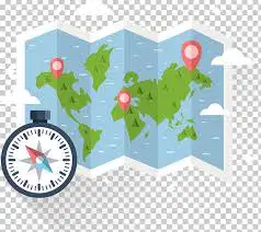
This is a map feature that displays the cardinal (N,S,E,W) and intermediate directions.
line of longitude
line of latitude
compass rose
scale
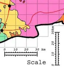
This item shows the relationship between distance on a map and the actual distance.
map scale
compass rose
line of latitude
line of longitude

In which Texas region is Big Bend National Park located?
Coastal Plains
North Central Plains
Great Plains
Mountains & Basins
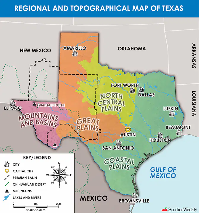
According to this map of Texas, which region has the greatest amount of larger communities or major cities?
Mountains & Basins
Great Plains
Central Plains
Coastal Plains

Using all the map skills from the map of Texas, which city is southwest of Austin?
Amarillo
Houston
Dallas
San Antonio
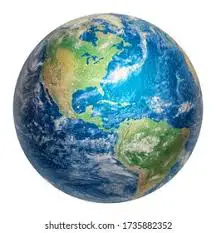
The study of the Earth and its people is called (a) .
Chose between the 2 words below and TYPE YOUR ANSWER BELOW
geography OR astronomy
TRUE or FALSE
All people must have their basic needs of food, shelter, and clothing met in order to survive.
TRUE
FALSE
The (a) is a movement from one region to another.
Chose between the 2 words below and TYPE YOUR ANSWER BELOW
climate OR migration
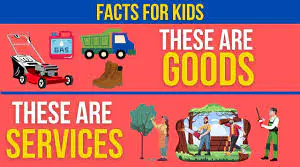
Which word below is another word for industries and businesses
created to make and distribute goods and services.
climate
economy
basic needs
settlement patterns
________________ _________________ show the places where people live.
Physical feature
Settlement pattern
Map scale
Basic needs
Abilene is located in a ___________ that has a dry climate with various types of plants and animals.
migration
region
economy
climate
TRUE or FALSE
Settlement patterns is the study of people’s interaction with the Earth’s surface.
TRUE
FALSE
A _________________ is a natural physical feature on the Earth’s surface.
landform
basic needs
economy
migration
The weather of a particular area over time is called ___________________.
economy
climate
basic needs
migration
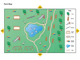
This feature on a map explains what the symbols, pictures, and colors on the map represent.
map scale
legend/key
compass rose
Equator
TRUE or FALSE
Each region of Texas has FARMING as one of its major resources.
TRUE
FALSE

Which city is located in the largest oil field in Texas?
Odessa
Lubbock
San Antonio
El Paso

The region of Texas that is the color YELLOW
on this map represents which region?
Mountains & Basins
Great Plains
Central Plains
Coastal Plains

