
Font size
 Worksheets
Basic Geography Intro
Total questions: 35
Worksheet time: 22mins


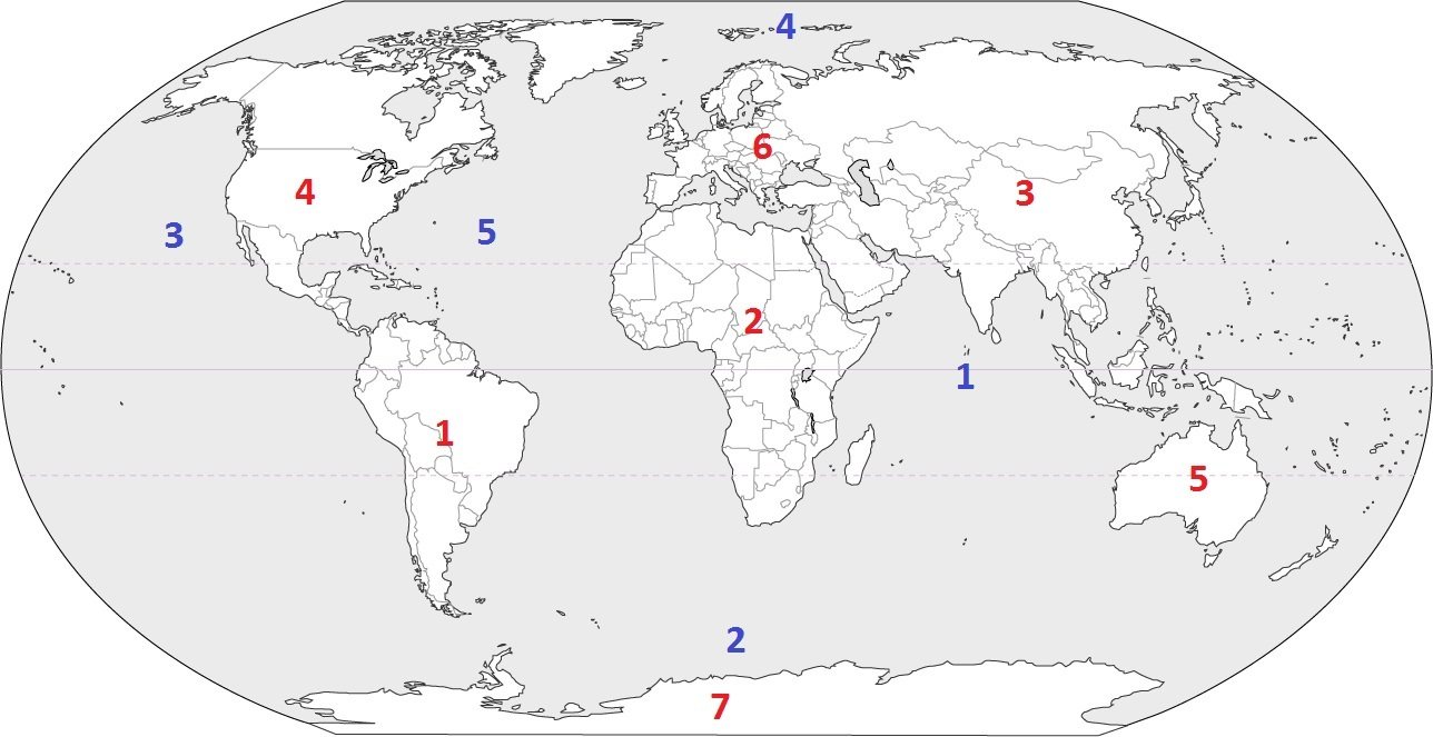
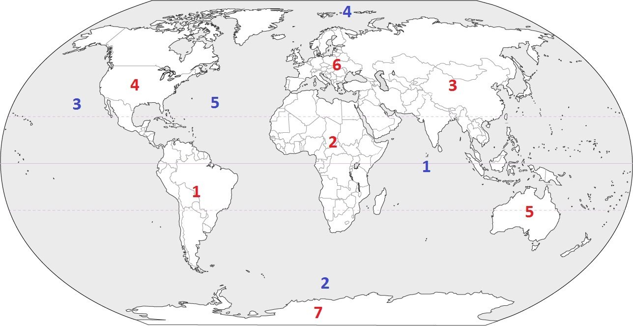
What continent is this?
Africa
South America
Australia
Eurasia

What continent is this?
Africa
South America
Australia
Antarctica

What continent is this?
Eurasia
North America
South America
Australia

What continent is this?
Eurasia
North America
South America
Australia

What continent is this?
Eurasia
North America
South America
Australia
England is located in Europe
True
False

Where is the Amazon rainforest?
In Africa
In South America
In Asia
In Europe
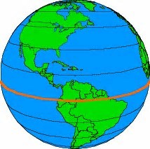
The imaginary line that divides the Earth into two parts is called the ________.
Equator
Hemisphere
Prime Meridian
North Pole
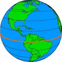
The world is divided between the Northern and Southern ___________.
Equator
Hemispheres
Continents
Oceans

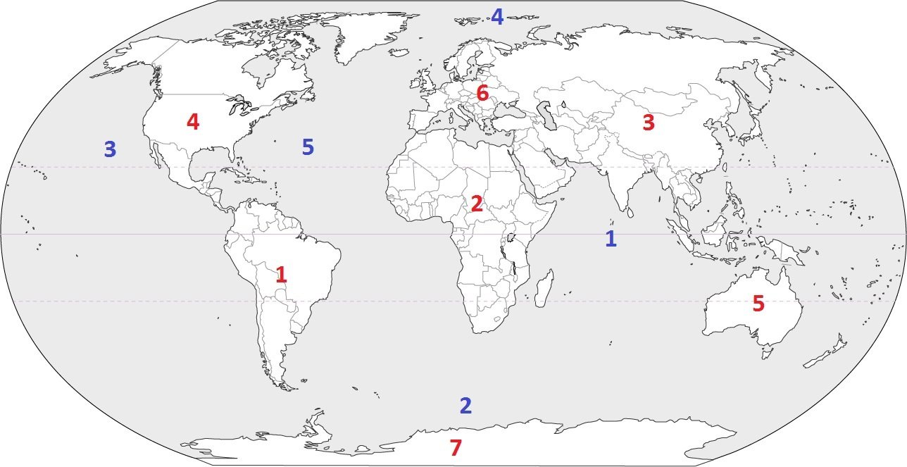
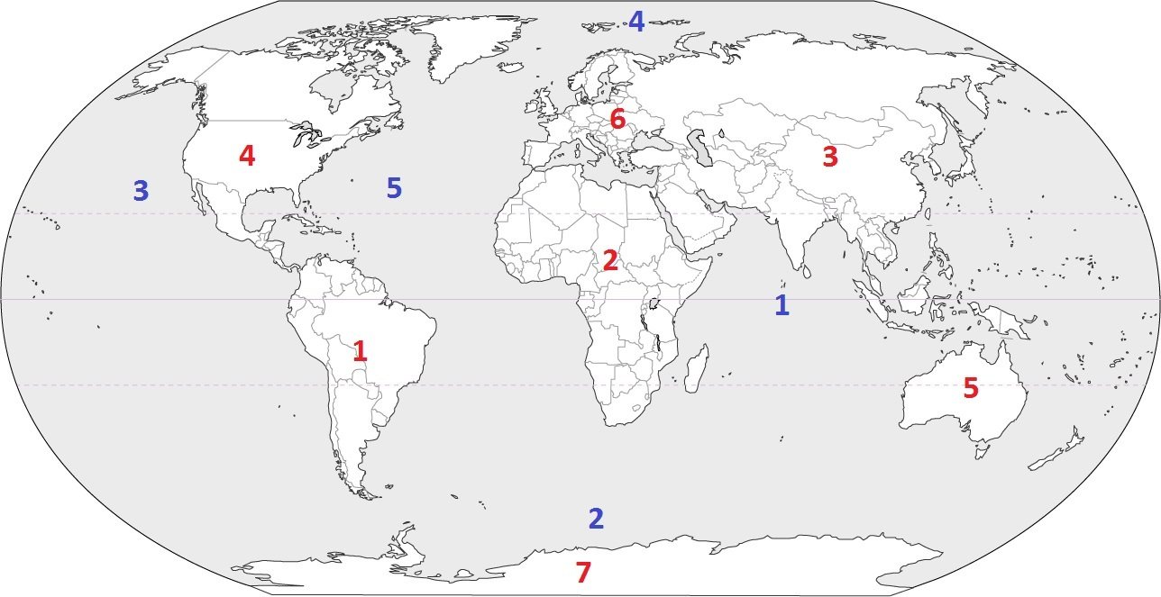

What river is highlighted?
Mississippi
Missouri
Minnesota
Ohio

Longest mountain range in the world
Andes
Himalayas
Rockys
Ural

Mountain range that separates Europe and Asia
Alps
Ural Mountains
Atlas
Great Dividing Range

Mountain range in Europe
Ural Mountains
Alps
Andes
Atlas

Mountain range in Nepal, Bhutan, India, China, Afghanistan, and Pakistan
Alps
Great Dividing Range
Ural Mountains
Himalayas

Mountain range in North America
Rockies
Himalayas
Alps
Ural Mountains

Long river starting in the Himalayas and flowing through Bangladesh.
Ganges River
Volga
Amazon
Yangtze

This is the longest river in China.
Nile
Volga
Yangtze
Lena


9
(a)

Which feature is located at the letter K on the map?
Mediterranean Sea
English Channel
European Plain
Iberian Peninsula

Which mountain range is located at the letter M on the map?
Pyrenees Mountains
Iberian Peninsula
The Alps
Ural Mountains

Which letter on the map identifies the continent of Asia?
G
B
J
A

What city is in the country colored in red?
Beijing
London
Rome
Timbuktu
Which map contains Tokyo?


Which city is located at the letter E on the map?
Moscow
Rome
London
Istanbul

What does location 4 represent?
Cordoba
Mecca
Tripoli
Cairo
Timbuktu
What does location 13 represent?
Cordoba
Mecca
Istanbul
Baghdad
Granada
Which river is being described by these statements?
· Generally considered the longest river in the world.
· Flows north and discharges into the Mediterranean Sea.
· Flows through ten different countries.
· Is made up of two main tributaries that converge near Khartoum.
Nile
Niger
Congo
Zambezi

