
 Worksheets
1st-9 6W WEBWORK: Social Studies
Total questions: 20
Worksheet time: 18mins

What does a compass rose do?
a tool that shows details about an area
a tool that shows north, south, east, and west on a map
a chart that explains what symbols mean on a map
compares distance on a map to distance on Earth

What does a map scale do?
a tool that shows details about an area
a tool that shows north, south, east, and west on a map
a chart that explains what symbols mean on a map
compares distance on a map to distance on Earth

Which direction do you need to go to get to the City Hall from the School?
north
south
east
west

Which direction do you need to go to get to the hospital from city hall?
northwest
southwest
northeast
southeast

Which direction do you need to go to get to the library from the post office?
northwest
southwest
northeast
southeast

Looking at the map legend, which symbol means lake?


What is east of the ice-cream stand?
woods

How were the Native Americans of the Mississippian culture able to create large cities?
Advanced agricultural techniques, surplus food production, trade networks
Where on the map did the Pueblo People live?
Which area did the Tlingit people live

The map shows lines of longitude.
The map shows lines of latitude.

Equator
Prime Meridian
International Date Line
North Pole

What Native Americans used teepees?
The Plain Native Americans
The Southwest Native Americans
The Northwest Native Americans
The Eastern Woodlands Native Americans

If you have lots of streams and rivers, which food are you more likely to gather?
Bear meat
Leaves
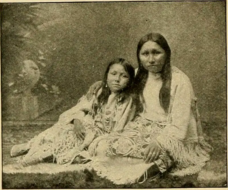
What were the houses of the Iroquois, the Eastland Native Americans, called?

Why did the people of the Southeast Woodlands wear clothing that could be adjusted?
Where do you live?
Where on the map did the Cahuilla, Tlingit, and the Miwok live
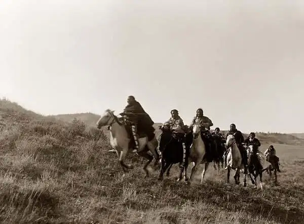
What is a nomad?

What did the Pueblo people build their home with?
Stone pebbles
Wood sticks
Adobe bricks
Grass patches
Metal rods

