
 Worksheets
Latitude and Longitude
Total questions: 23
Worksheet time: 3hrs 31mins
_____________ and ______________ are used to locate a place.
Latitudes and Longitudes
Longitudes and Equator
Equator and Latitudes
Latitudes are the imaginary lines drawn to the __________
Tropic of Cancer
Tropic of Capicron
Equator
Northern Hemisphere
Southern Hemisphere
The latitudes and longitudes are measured in
Miles
Kilometers
Percentage
Degrees
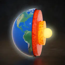
Around (a) June, the sun it overhead the tropic of Capricorn
When does the beginning of summer marked in the northern hemisphere?
When the sun is directly overhead the tropic of capricorn on 21 December
When the sun is directly overhead the tropic of cancer on 21 December
When the sun is directly overhead the tropic of capricorn on 21 June.
When the sun is directly overhead the tropic of cancer on 21 June.
Find the word written after north and south. Hint: Its a type of thing which handles any flag.
(a)
What is the significance of the Tropic of Cancer?
It marks the northernmost point where the sun can be directly overhead.
It is the line of zero longitude.
It divides the Earth into the Northern and Southern Hemispheres.
It is the southernmost point where the sun can be directly overhead.
Which of the following best describes longitudes?
They are horizontal lines that run parallel to the Equator.
They are vertical lines that run from the North Pole to the South Pole.
They measure the distance between the Tropic of Cancer and the Equator.
They are used to measure time zones across the globe.
Can we touch the longitudes and latitudes? If not, why not, and how did the scientists learn about them? Think wisely before answering.
15 minutes are given for some reason for this question. :) (Hint: there are 2 correct answers.)
Because Earth is Sphere that is why scientists came to know that earth has longitudes and latitudes
Because Earth is Oval that is why scientists came to know that earth is curved equally.
Because of the curve in Earth, the longitudes and latitudes are formed by an imaginary lines which are horizontally and vertically.
Since the longitudes start at 0 (degrees) at the Prime Meridian that is why the earth is curved and due to the curve, earth has Longitude.
No. We can't touch the longitudes and latitudes, but the scientists can.
The longitudes west of ___________ will be measured from 0(degrees) West to 180(degrees) West
Prime Meridian
Greenwich Meridian
IDL (International Date Line)
Geography
Earth
Which line of latitude is located at 0(degrees)?
Equator
Tropic of Cancer
Tropic of Capricorn
Prime Meridian
What is the purpose of the International Date Line?
To mark the boundary between two time zones
To indicate the equator
To measure latitude
To divide the Earth into hemispheres
The main city of Meridian where longitude imaginary line starts:
London
Greenwich
Canterbury
Berlin
Paris
International Date Line is an imaginary line that lies in _________________ Ocean.
Atlantic Ocean
Pacific Ocean
Indian Ocean
Arctic Ocean
Antarctic Ocean
The date in Eastern hemisphere is always 1 day ahead of the date in the ________________
Northern Hemisphere
Southern Hemisphere
Western Hemisphere
North and South Poles
Middle Eastern Coutries
Which of the following lines of latitude is located at 23.5 degrees North?
Tropic of Cancer
Equator
Tropic of Capricorn
Arctic Circle
What is the significance of the Prime Meridian?
It divides the Earth into Eastern and Western Hemispheres.
It marks the southernmost point where the sun can be directly overhead.
It is the line of zero latitude.
It indicates the boundary between two time zones.
Which of the following best describes the Equator?
It is the longest line of latitude.
It is the line of zero longitude.
It divides the Earth into Northern and Southern Hemispheres.
It is located at 90 degrees North.
What is the term used for an imaginary line which cuts the earth in between.
(a)
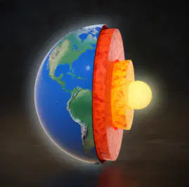
BONUS REVIEW QUESTION: Earth _________ around ____.
What is the main function of the Equator?
To divide the Earth into Eastern and Western Hemispheres
To mark the boundary between the Northern and Southern Hemispheres
To indicate the International Date Line
To measure time zones
What is the significance of the International Date Line?
It is the line of zero latitude
It helps in determining the time zones
It marks the boundary between the Northern and Southern Hemispheres
It is the longest line of longitude
This Quiz was __________________
Easy
Hard
Extreme
Easy and Hard
Simple

