
Font size
 Worksheets
Remote Sensing & GPS (Unit-I)
Total questions: 20
Worksheet time: 7mins
Who Coined the term Remote Sensing?
Roger Tomlinson
Arthur Batut
Evelyn Pruitt
Gaspard Felix Tournachon
_____ is the collection of data that does not involve physical contact.
GIS
Fieldwork
Remote-sensing
None of the Above
Who took first permanent image by using camera?
Joseph Nicéphore Niépce
James Clerk Maxwell
Gaspard-Félix Tournachon
Evelyn Pruitt
Remote sensing is used for ______________.
Detecting plant health
Measuring snowpack
Monitoring Urban Sprawl
All of the above
When light is reflected off a surface, it is detected by sensor mounted in satellite and produces a ________________, which we use to identify different features.
Rainbow
Pulsar
Spectral Signatures
Awe inspiring moment
Two types of remote sensing are ________& ________on the basis of energy used.
IRS & Landsat
Color & Panchromatic
Passive & Active
Sputnik & GOES
Remote sensing can be used to monitor changes on the Earth's surface over time.
True
False
Not Sure
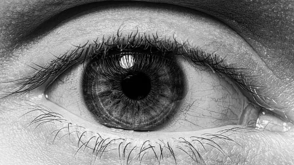
Is human organ shown in image a remote sensor?
(a)
Passive remote sensing is where instruments emit a signal and the sensor measures what is reflected back.
True
False
When was the first aerial photograph taken?
1880
1870
1858
1850
What is the definition of remote sensing?
The science and art of obtaining information about an object, area, or phenomenon through the analysis of data acquired by a device that is in direct contact with the object, area, or phenomenon under investigation.
The science and art of obtaining information about an object, area, or phenomenon through the analysis of data acquired by a device that is not in contact with the object, area, or phenomenon under investigation.
The science and art of obtaining information about an object, area, or phenomenon through the analysis of data acquired by a device that is in contact with the object, area, or phenomenon under investigation.
None of these
Which form of remote sensing uses the Sun as the source of electromagnetic radiation?
Radar & Lidar
Active Remote Sensing
None of these
Passive Remote Sensing
Pick up the correct statement from the following:
In remote sensing technique, the observation place where camera or sensor is mounted is called a platform
Platforms may be either stationary or mobile
Spatial resolution of the images or photographs becomes poorer with increase of platform height
All of these
The light which our eyes (natural remote sensors) can detect is part of the------------------.
Ultraviolet
Visible spectrum
Infrared
Microwave
The distinct advantages of satellite remote sensing are?
Synoptic view
Multi-dimensional
Repeatability
All of the above
Which is the first essential component of Remote Sensing?
Source of Energy
Satellite & Sensor
Atmosphere
Earth Receiving Station
Remote Sensing is both art and science.
True
False
Not Sure
Which country invented Radar?
USA
USSR
Germany
Britain
First text book on Aerial Photography was written by-------------------------.
Evelyn Pruitt
Gaspard Felix Tournachon
Captain John Moore-Brabazon
Arthur Batut
Name the first Indian satellite.
Aryabhatta
Bhaskra
Not Sure
None of these

