
 Worksheets
APHG Unit 1 Review
Total questions: 55
Worksheet time: 46mins
In descriptions of interaction between people and the environment, the term “environmental determinism” implies that
the physical environment exclusively shapes humans and their actions
humans by their actions and technologies alter the physical environment to suit their needs
determination of environmental limitations is a primary task of geographers
capitalist economies do not contribute to global environmental degradation
there exists no interacting relationship between people and their surrounding physical environment
Every map projection has some degree of distortion because
a curved surface cannot be represented on a flat surface without distortion
parallels and meridians never cross at right angles on a globe
the grid system is two-dimensional, while the real world is three-dimensional
Earth is not a perfect sphere
latitude lines are shorter than meridian lines
Absolute Distance
describing how far a distance is quantitative units of distance
describing the distance between locations using qualitative terms
Describing where something is using the exact site or an objective coordinate system
Describing the position of a place as compared to another landmark
Relative Location
describing the distance between locations using qualitative terms or non-traditional measurements of distance (one hour north of Walmart)
describing how far a distance is quantitative units of distance (miles, kilometers, etc.)
describing where something is using the exact site on an objective coordinate system (Long. & Lat.)
describing the position of a place as compared to (or relative to!) another landmark (near the beach)
An area where everyone shares 1 or more distinctive characteristics (Texas and their set of laws)
Formal Region
Functional Region
Vernacular Region
An area organized around a node or focal point with a strong charateristic in the center
Formal Region
Functional Region
Vernacular Region
An area people believe exist as part of their culutral idenity and their informal sense of place
answer choices
Formal Region
Functional Region
Vernacular Region
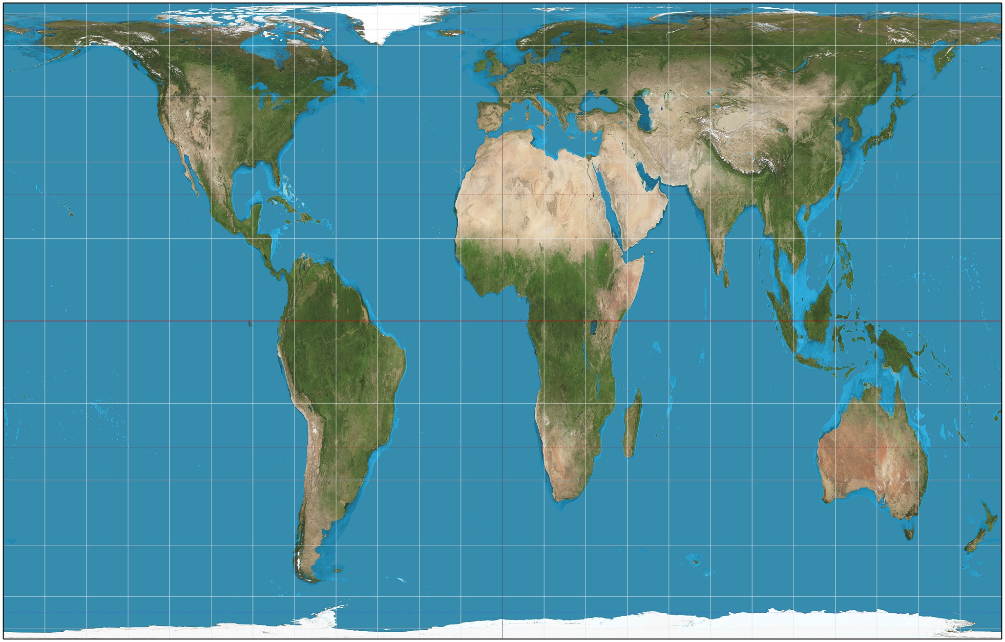


The science of making maps
Cartography
Geography
Biology
Historiography
Distance east or west of the prime meridian, measured in degrees
Longitude
Latitude
Distance north or south of the equator
Latitude
Longitude
Number of something in a specifically defined area
Scale
Density
Diffusion
Maps designed for people to refer to for general information about places
Thematic
Reference
Dot distribution

What scale of analysis is this map?
Global
Regional
National
State
City

Name the scale of analysis.
Province
National Scale
Regional Scale
Global Scale
City
What does "scale of analysis" refer to in geography?
The level at which data is collected, analyzed, and displayed
The representation of geographical features on a map
The precision of geographic coordinates
The distortion of map projections

What scale of analysis is this map?
Global
Regional
National
State
County

What scale of analysis is this map?
State
Regional
National
County/Local
Global
THE MERIDIAN THAT RUNS THROUGH GREENWICH IS AT WHAT DEGREE LONGITUDE
90°
0°
What line of longitude is the International Date Line located on?
0 degrees
180 degrees
100 degrees
According to IDL, while traveling from east to west
a day is added
a day is deducted
keep the same day
None of these

If it is 5:00 am in San Francisco, what time is it in New York?
8:00 am
8:00 pm
2:00 am
2:00 pm

What time zone would California be in?
Pacific Time
Mountain Time
Western Time
Eastern Time
Which is NOT a U.S. time zone?
Pacific Time Zone
Atlantic Time Zone
Central Time Zone
Alaska Time Zone

What time zone is Alabama (AL) located?
Central
Eastern
Hawaii
Mountain
Name the 4 time zones in the US
Greenwich, Central, Mountain, Eastern
Eastern, Western Mountain, Central
Eastern, Pacific, Central, Mountain
Western, Greenwich, Central, Eastern
Distance decay refers to
How is time-space compression connected to distance decay?
Which of the following best decribes how a business might use geographic data?
Which of the following is an example of how a government might use geographic data?
Sustainability refers to
How is scale of inquiry different from scale of analysis?
What is the difference between a large scale and small scale map?
In geography, space refers to
The concept of "place" in geography refers to:
The physical characteristics of a location
The human and physical characteristics of a location
The latitude and longitude of a location
The economic activities in a location

The maps show data most likely collected through
Election Results
Census Surveys
Satellite Imagery
Informal Observation
Which of the following is an example of absolute location?
Near the Washington Monument
30 minutes South
30°N, 25°W
Left, right, front
What does remote sensing involve?
Making physical contact with objects on Earth
Using sensors on aircrafts and satellites without physical contact
Building physical models of the Earth
Conducting underwater research
Which of the following is an example of relative location?
40.7128° N, 74.0060° W
5 minutes north of the city center
123 Main Street
100 meters above sea level
What is a characteristic feature of a clustered spatial pattern?
Objects are evenly spaced
Objects are grouped closely together
Objects are randomly distributed
Objects are spread out over a large area
Which of the following scenarios best illustrates a dispersal spatial pattern?
A city with high-rise buildings concentrated in the downtown area
A neighborhood with houses built close to each other
A forest where trees are spaced apart
A shopping mall with stores clustered in one section

