
 Worksheets
South and East Asia Physical Geography
Total questions: 6
Worksheet time: 4mins
Name
Class
Date
1.
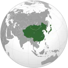
Which countries are part of East Asia?
a)
China
b)
Japan
c)
India
d)
South Korea
2.

Which countries are part of South Asia?
a)
Nepal
b)
Thailand
c)
Bangladesh
d)
Sri Lanka
3.

Identify the two main rivers in China.
a)
Mekong River
b)
Yangtze River
c)
Huang He River
d)
Ganges River
4.
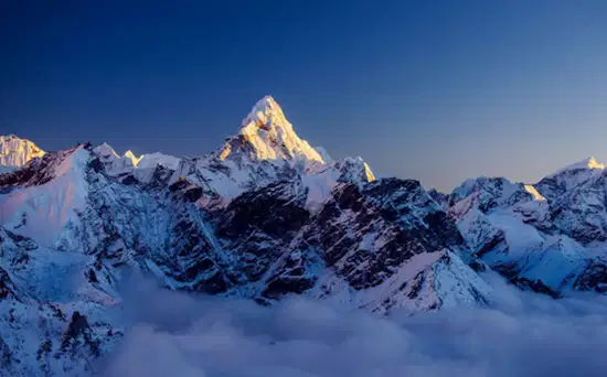
Which mountain range forms a natural border between India and Nepal?
a)
Andes
b)
Himalayas
c)
Rockies
d)
Alps
5.

Which river is known as the "Yellow River" due to the color of its silt?
a)
Yangtze River
b)
Mekong River
c)
Huang He River
d)
Indus River
6.

The Gobi Desert is primarily located in which two East Asian countries?
a)
China and Mongolia
b)
India and Pakistan
c)
Kazakhstan and Uzbekistan
d)
Russia and China
100 %

