
NEW
Font size
 Worksheets
Topographic Maps Quiz
Total questions: 12
Worksheet time: 6mins
What is the contour interval on a topographic map?
The distance between two cities
The difference in elevation between two adjacent contour lines
The width of a river
The height of a mountain
What does the spacing of contour lines on a topographic map indicate?
The temperature of the area
The slope of the land
The population density
The type of vegetation
Why are topographic maps useful for hikers?
They show buildings
They provide detailed geographic information
They predict the weather
They offer historical facts
How can you tell if the land is steep on a topographic map?
By the color of the lines
By the closeness of the contour lines
By the number of contour lines
By the direction of the lines
What does the word elevation mean?
The distance you walked.
A map that shows the landscape of an area.
The distance something is above sea level.
A very steep hill.
What is topography?
The study of weather patterns
The study of Earth's surface features
The study of ocean currents
The study of animal behavior
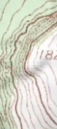
What does the contour line labeled "1825" on the map represent?
Elevation of 1825 feet
Distance of 1825 meters
Depth of 1825 feet
Temperature of 1825 degrees
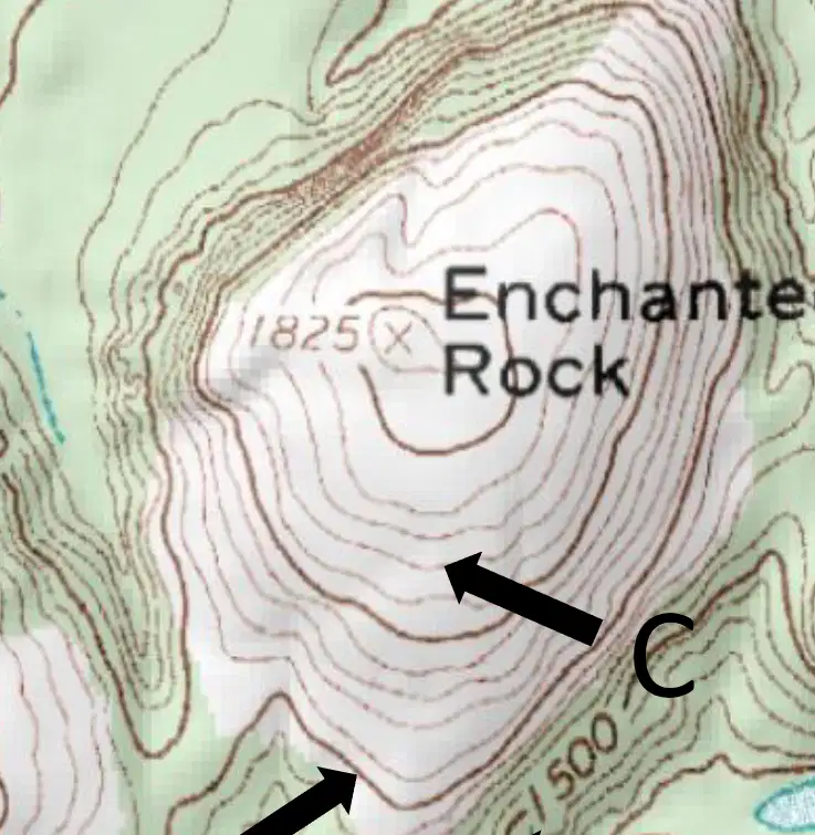
What is the primary feature labeled "Enchanted Rock" on the map?
A river
A mountain
A forest
A lake
What is an index line on a map?
A line that is lighter than other lines
A line that is darker than other lines
A line that shows temperature
A line that shows roads
How do you find the contour interval?
Add two known elevations and divide by two
Multiply two known elevations and subtract five
Subtract one known elevation from another and divide by the number of spaces
Divide one known elevation by another
When the contour lines are farther apart, what does this indicate about the slope?
The slope is steep
The slope is gentle
The slope is flat
The slope is irregular

What is the contour interval (CI)?
100m
10m
25m
20m

