
 Worksheets
Basic and Advance QGIS Training Post Test
Total questions: 14
Worksheet time: 2mins
What is the closest basic geometry model that approximates the shape of the Earth?
Spheroid
Geoid
Circle
Ellipsoid
It is used to describe locations relative to datum or reference frame?
Projection
Datum
Coordinate Reference System
Coordinate System

Guess the QGIS tool.
Magnet Tool
Add Layer Tool
Snapping Tool
Refresh Tool

Guess the QGIS Tool.
Drawing Tool
Toggle Editing Tool
Snapping Tool
Digitizing Tool
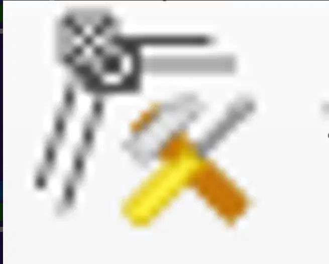
Guess the QGIS Tool.
Tool Box
Vertex Tool
Vector Tool
Snapping Tool
It is a process of relating internal cooridnate system if a spatial data with known coordinate system in the real world.
Geotagging
Georeferrence
Reproject
Coordinate Reference System
All of these are part of the map elements, except:
Legend
Coordinate Reference System
Map Title
Map Layout
It is made up of points, lines, and shape.
Shapefile
Geopackage
Raster
Vector
Sino ang bayani sa 100 peso bill?
Manuel Roxas
Apolinario Mabini
Diosdado Macapagal
Manuel L. Quezon
It is the process of changing the coordinate system of your map data to a different projection?
Reproject
Georeferencing
Coordinate System
Datum
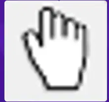
Guess the QGIS Tool.
Hands Free
Pan Map
Select
Add Feature
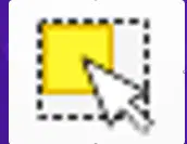
Guess the QGIS Tool.
Select Feature
Pan Map
Add layer
Snapping Tool
Ano ang complete name ng ating Pambansang Bayani?
José Protacio Rizal Alonso y Mercado Realonda
José Protacio Rizal Mercado Alonso y Realonda
José Protacio Rizal y Mercado Alonso Realonda
José Protacio Rizal Mercado y Alonso Realonda
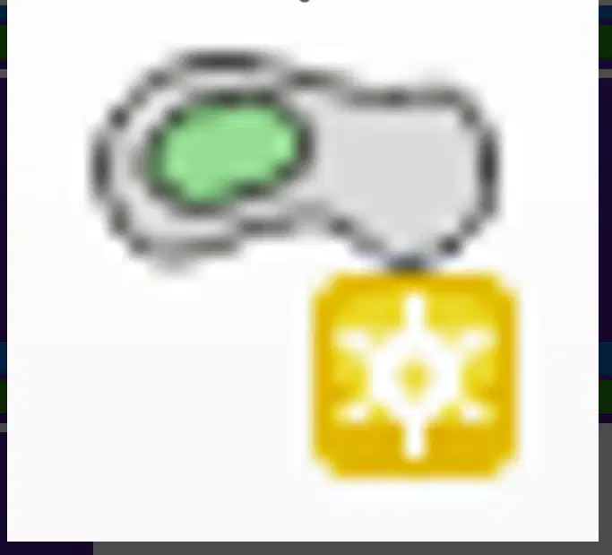
Guess the QGIS Tool.
Add Polygon
Add Part
Fill Ring
Offset Curve

