
Font size
 Worksheets
LAH 3.1 Map Skills
Total questions: 31
Worksheet time: 1hrs 16mins

This imaginary line divides the Earth into Northern and Southern Hemisphere. It is called the ________________.

This imaginary line is called the ______________. It divides the globe into Eastern and Western hemispheres.
Equator
Divider
Prime Factor
Prime Meridian
Latitude lines are the lines on the map that are (a) . Latitude lines run (b) BUT measure how far (c) you are from the equator.
Longitude lines are the lines on the map that are (a) . Longitude lines run (b) BUT measure how far (c) you are from the equator.

What does this image show?
The image shows the lines of longitude.
The image shows the lines of latitude.
The image shows how to get to the North and South Poles.
All of these are correct answers

What does the image show?
The image shows lines of longitude.
The image shows lines of latitude.
The image ONLY shows the equator.
The image shows major trade routes.

Which hemisphere is located above the equator?
Northern
Southern
Eastern
Western

Which hemisphere is located below the equator?
Northern
Southern
Eastern
Western

Which hemisphere is located to the right of the Prime Meridian?
Northern
Southern
Eastern
Western
Which hemisphere is located to the left of the Prime Meridian?
Northern
Southern
Eastern
Western
The Prime Meridian runs directly through both the North Pole and South Pole.
TRUE
FALSE
We never learned about the Prime Meridian.

What Hemisphere(s) can the Caribbean Islands be found located in?
Southern Hemisphere (only)
Southern and Western Hemipsheres
Northern, Southern and Western Hemispheres
Northern and Western Hemispheres
Which Hemisphere(s) can Latin America be found located in?
*HINT: MUST SELECT ALL CORRECT ANSWERS!
Northern Hemisphere
Southern Hemipshere
Western Hemisphere
Eastern Hemisphere
All FOUR hemispheres

The GPS coordinates of location "A" is:
75° N 0° E/W
90° E/W 75° N
90° N 75° E
None of these are correct answers
Match the following points on the map to their correct GPS coordinates:
*HINT: USE THE COLORFUL RESOURCE PROVIDED TO YOU AT THE BEGINNING OF CLASS!
Point B
15° N 45° W
Point C
15° S 90° E
Point D
15° S 120° W
Point E
45° N 75° E
Point F
30° S 60° W
Match the following points on the map to their correct GPS coordinates:
*HINT: USE THE RESOURCE THAT MS. C. PASSED OUT TO YOU!
Point G
60° N 120° W
Point H
30° S 135° E
Point I
60° N 120° E
Point J
60° S 60° W
Point K
30° S 30° E
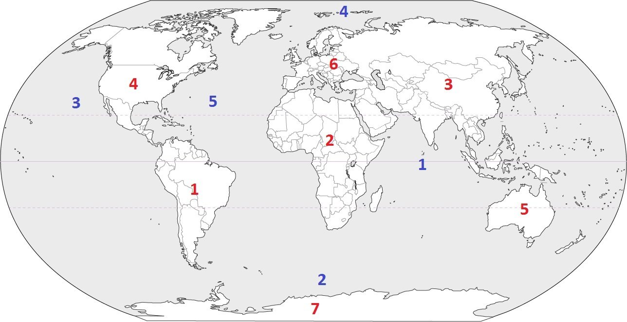
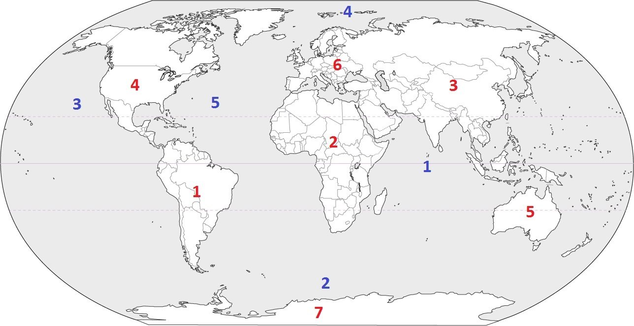
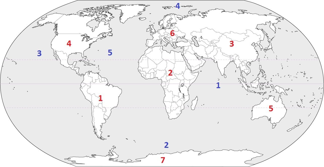
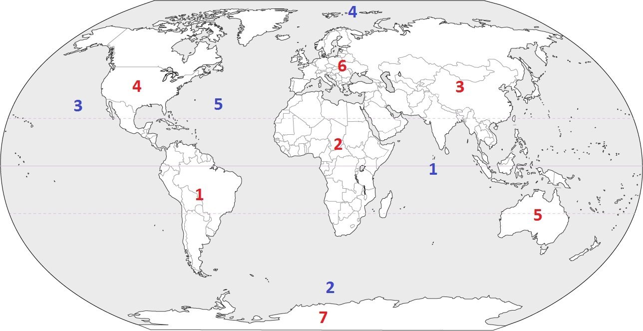
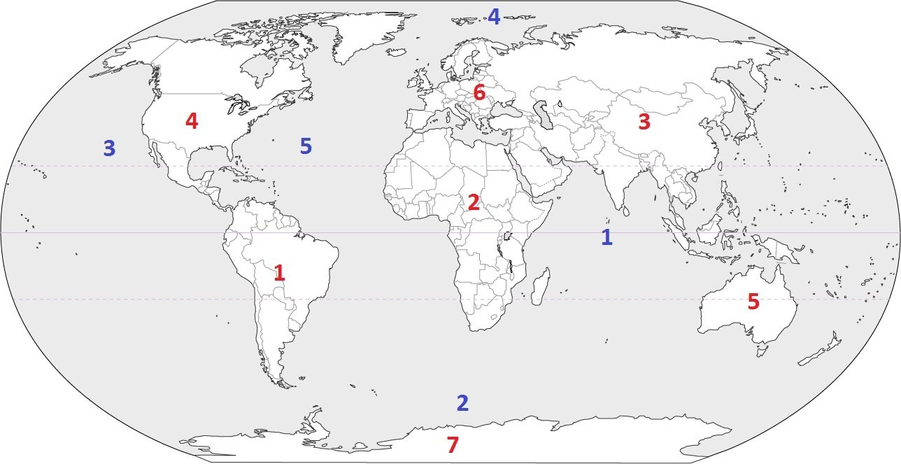
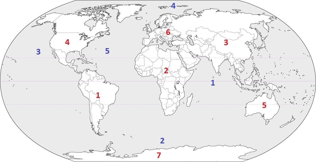
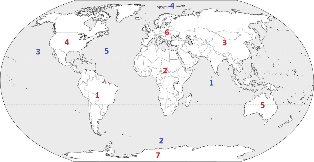
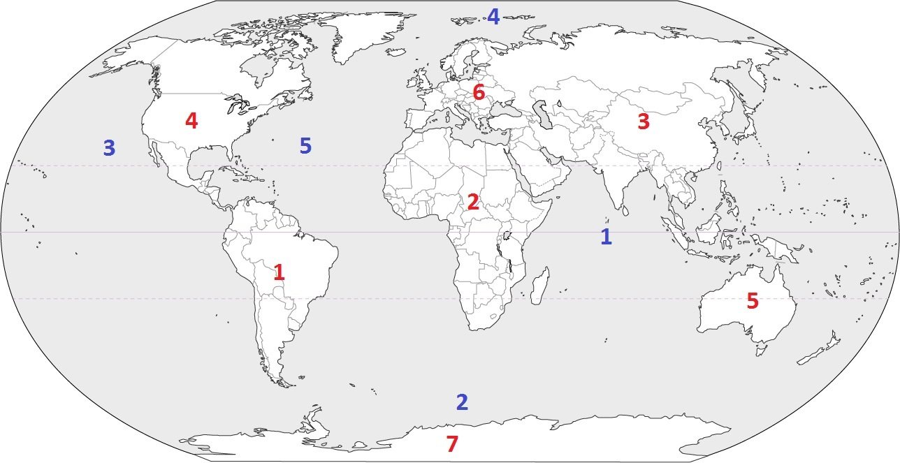
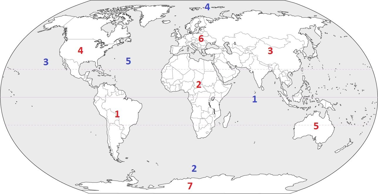
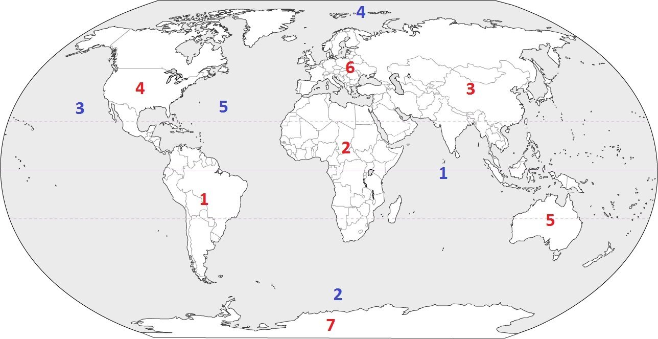
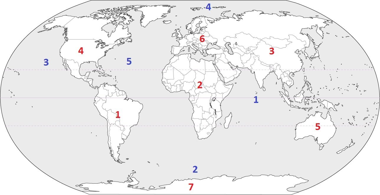
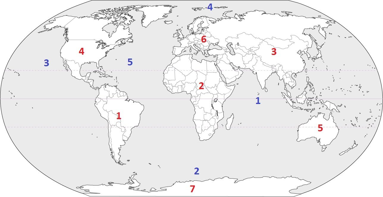
The (a) is on the west coast of the U.S.A. and the (b) is on the east coast of the U.S.A.

