
 Worksheets
East Asia Physical Geography
Total questions: 25
Worksheet time: 3hrs 19mins
Click on the Sea of Japan.
Click on the East China Sea.

What physical feature are North and South Korea located on?
archipelago
isthmus
volcano
peninsula

Japan is an example of....
a peninsula
an archipelago
an isthmus
a desert

What is this physical feature is found in Japan?
Mount Everest
Mount McKinley
Mount Fuji
Mount Kilimanjaro

Which mountain is part of the Himalayas and the tallest mountain in the world?
Mount Everest
Mount McKinley
Mount Fuji
Mount Ranier
Largest continent in the world
Asia
China
Japan
Europe

Which region stretches from China to Mongolia and is the largest desert in Asia?
Sahara
Gobi
Atacama
Nile Basin

Which body of water is this?
Bay of Bengal
Sea of Japan
Yellow Sea
Pacific Ocean
Two of the six main rivers in Asia include
The Mississippi and the Thames.
The Huang He (Yellow River) and the Chiang Je (Yangtze River).
The Ganges and the Amazon.
The Huang He and the Nile.
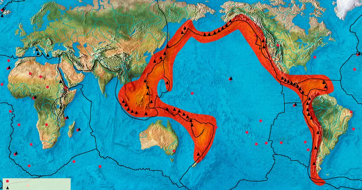
What is the term for the area of the Pacific Ocean where many earthquakes occur and where the majority of the world’s volcanoes are located?
Volcano Alley
Ring of Fire
Pacific Rim
Volcanquake Ring
Which of the following geographic terms best illustrates the country of Taiwan.
Peninsula
Island
Chain of Mountains
Large Plateau
None of the above.
What river flows into the Yellow Sea, and is named for the yellow silt (dirt) that it carries?
Huange He River
Yangtze River
Mekong River
Mississippi
How did Chinese farmers adapt to be able to grow crops in a high-elevation environment?
Terraced Farming
Navigational Charts
Living in Yurts
Underground Construction

What is the Ring of Fire?
a major fault line in California where large-scale earthquakes occur and two tectonic plates meet
a major area in the Pacific Ocean where lots of earthquakes and volcanic eruptions happen
an area of the the Atlantic Ocean which causes many tidal waves which crash onto the coast
an underwater trench deep in the Indian Ocean where water temperatures are extremely hot
Color North Korea GREEN and South Korea RED

What is the word for a raised, relatively flat area of land?
tsunami
peninsula
archipelago
plateau
Identify Mongolia by tracing its borders.
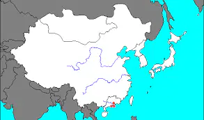
Circle where the Plateau of Tibet is.
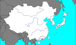
What sea does the Yellow River flow into?
Yellow Sea
Mediterranean Sea
Red Sea
India Ocean


